Clear Lake

Clear Lake is a mountain lake near Sisters, Oregon, in Linn County. It has two main bodies connected by a bottleneck. The lake is primarily fed by snow runoff from nearby Mount Washington and the surrounding areas which is what makes it so clear.  
There are rustic cabins on site for accommodation, and a small restaurant and retail shop.  There is a good amount of parking although accessibility may be an issue as the road leading down to the lake is a little steep. The road goes in a one way loop up to the main highway. 
There are covered sheds on site for public use that could be reserved for a film crew.
Fees payable to the National Forest and Resort are applicable and need to be actioned at least 30 days in advance.
Excellent location for recreation and fishing shoot or branded content.
 
Area148 acres
Max. depth175 ft (53 m)
Shore length13.2 mi (5.1 km)


Clear Lake


Clear Lake

Small store and restaurant on site (left hand side)


Continue Reading

Fish Lake (McKenzie River Hwy)

Fish Lake Campground and Cabin area are part of  the Fish Lake Historic Site, also known as the Fish Lake Remount Depot, along the McKenzie Pass-Santiam Pass and the West Cascades National Scenic Byways.

During the 1920’s, it served as the field and dispatch headquarters for the Santiam National Forest, (the predecessor of the Willamette National Forest) and as such has several buildings on site with a day use area with picnic tables and interpretive signs.. A viewing platform takes you to the lake’s edge. Fish Lake is a seasonal lake that only has water in winter and spring. In the summer, the water drains underground, leaving a lush meadow (images below).

There are two rustic cabins on site and a restroom in the day area.  The area is particularly colorful in the Fall.

For more information


Restroom in parking area

Continue Reading

Frissel Crossing Campground (McKenzie River Trail)

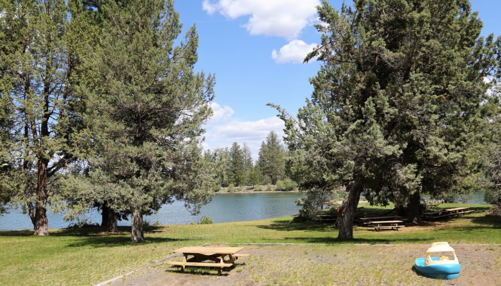
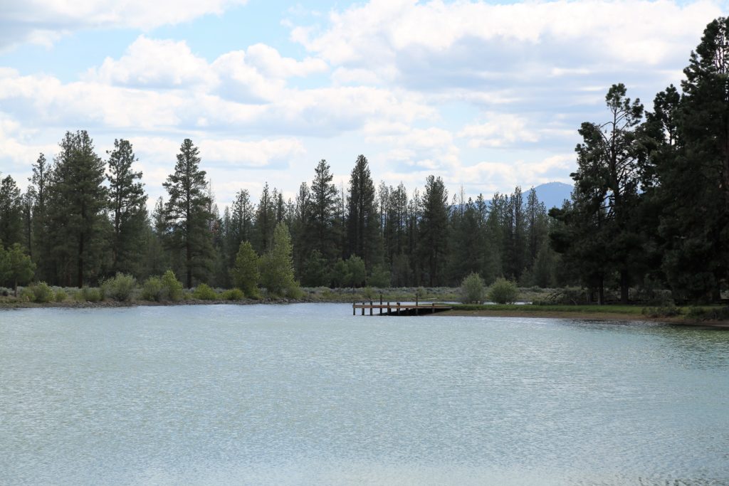
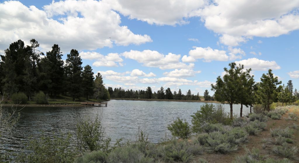
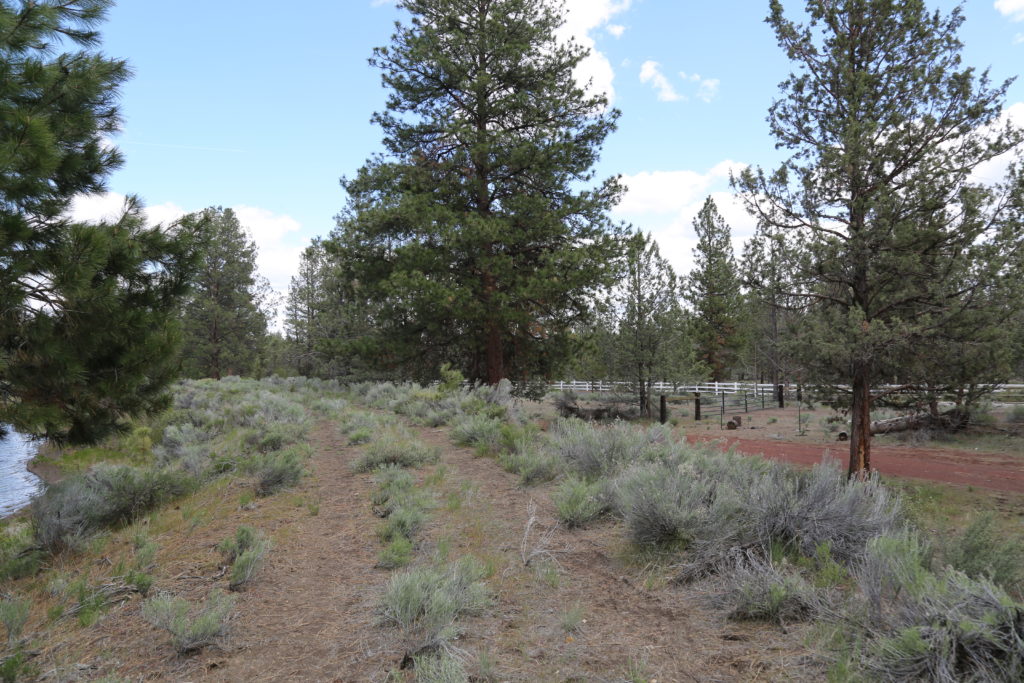
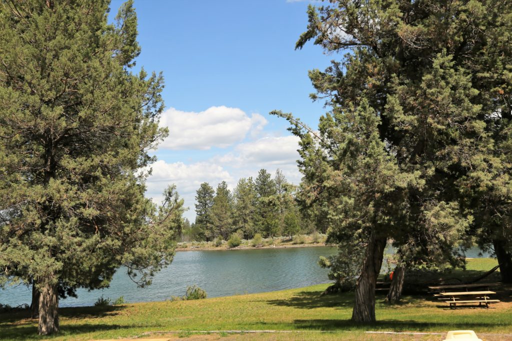
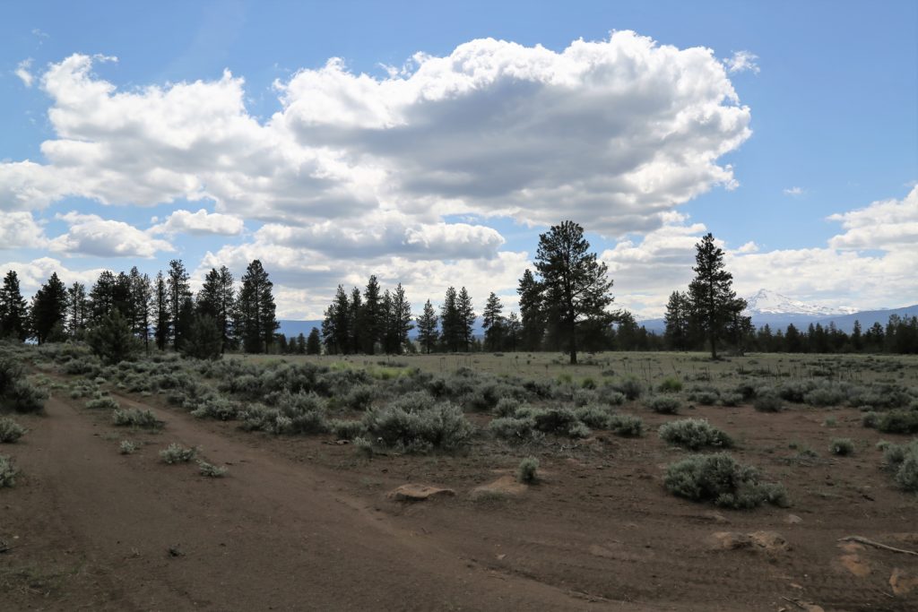
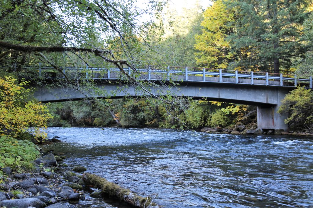
This developed facility has vault toilets, fire rings, picnic tables, garbage collection, and hand-pumped drinking water and lends itself to recreational shoots, particularly fly-fishing or easy water sports.

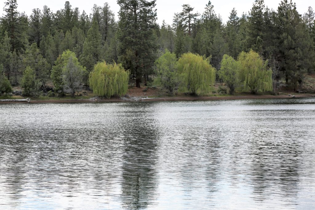
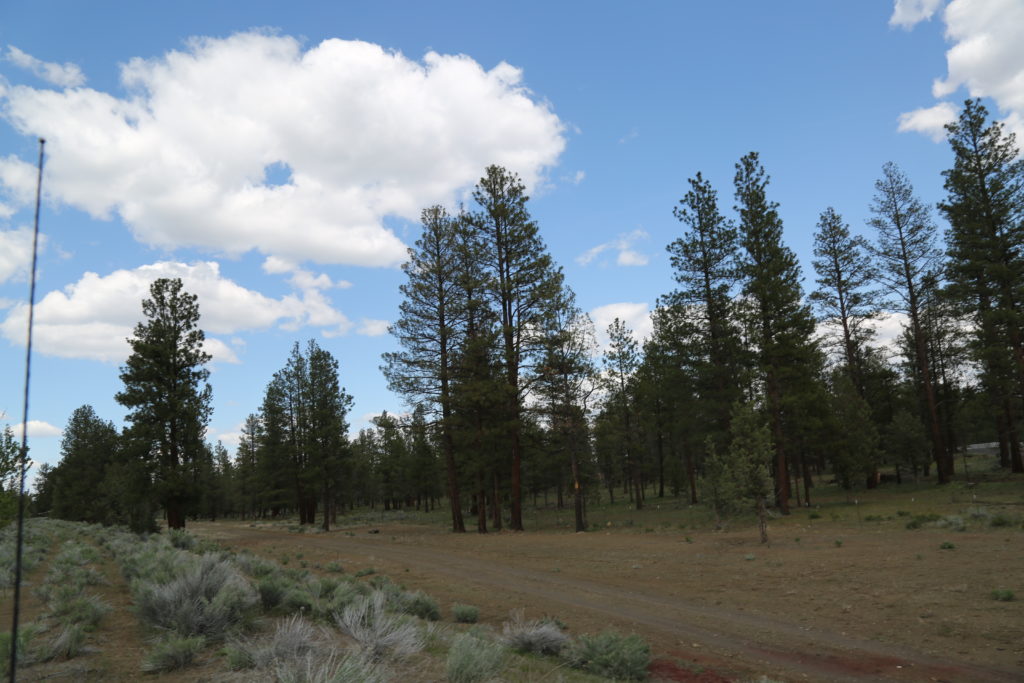
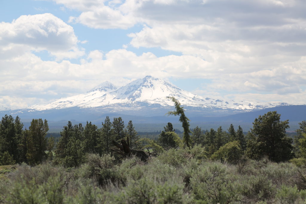
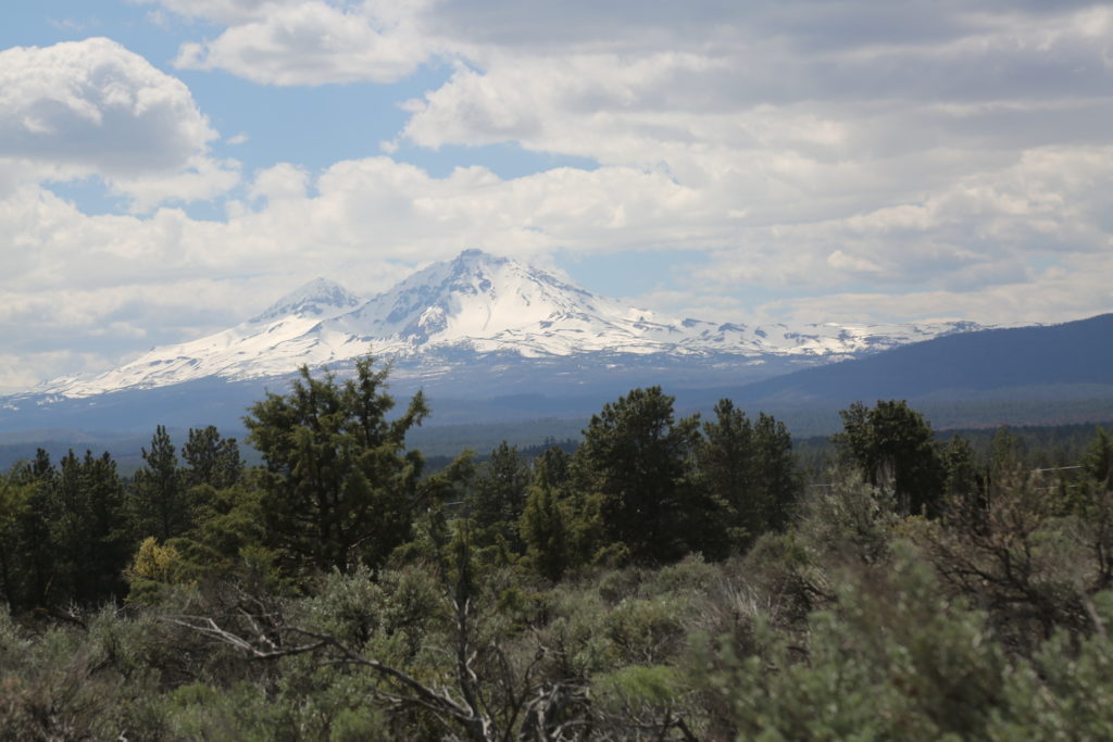
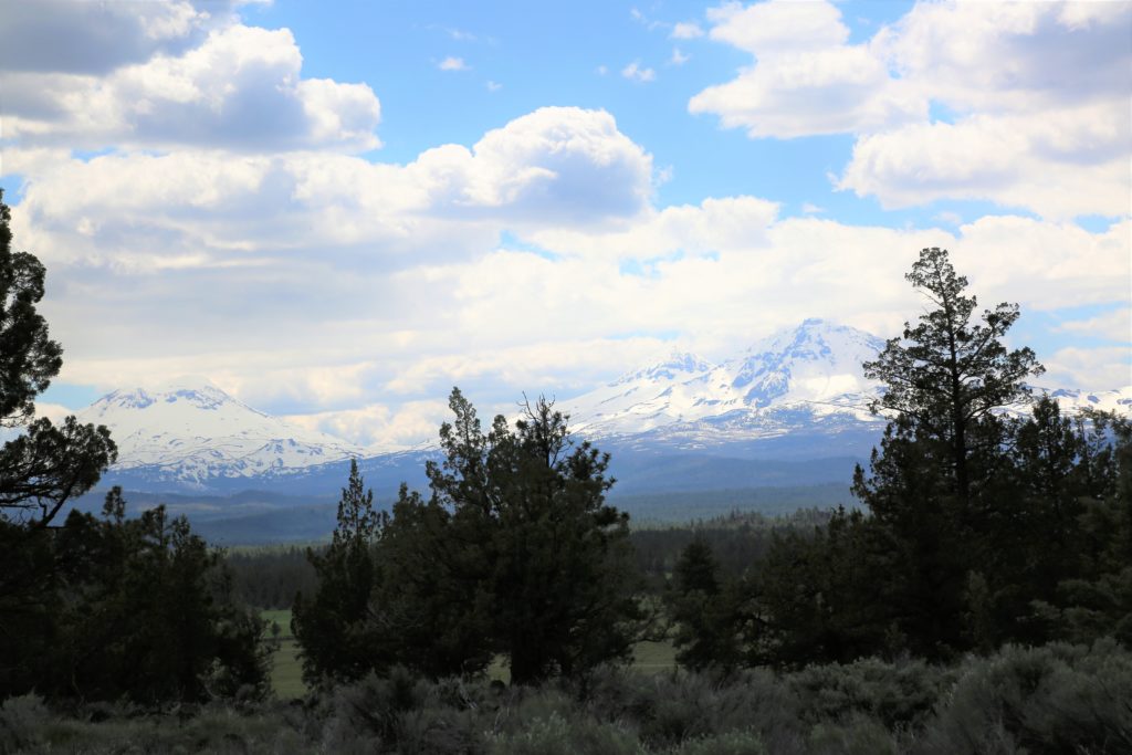
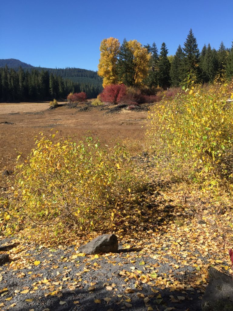
Located in the Willamette National Forest, Frissell Crossing campground resides at 2,600 feet in elevation with creek access. Douglas fir, rhododendrons, and vine maple surround this serene retreat.
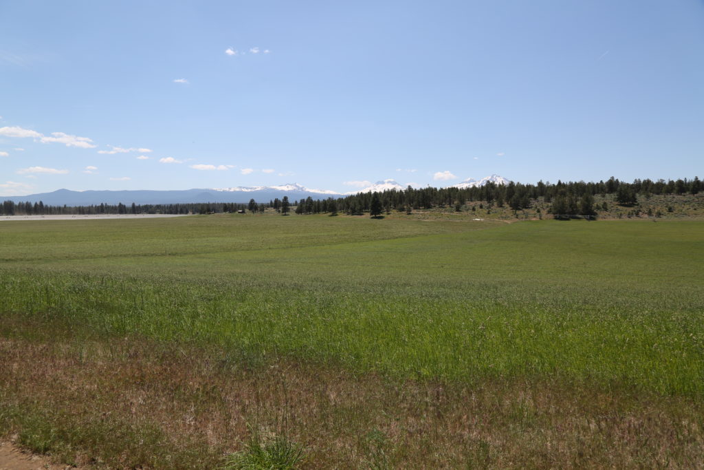
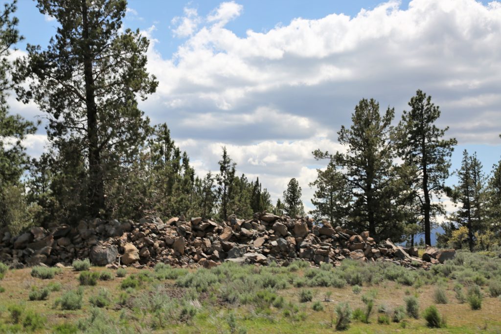
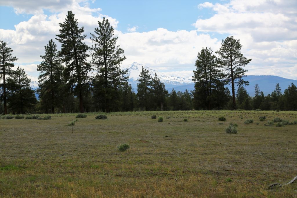
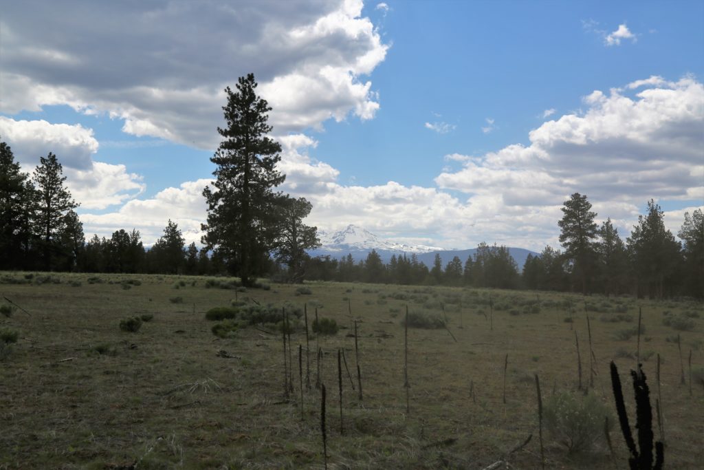
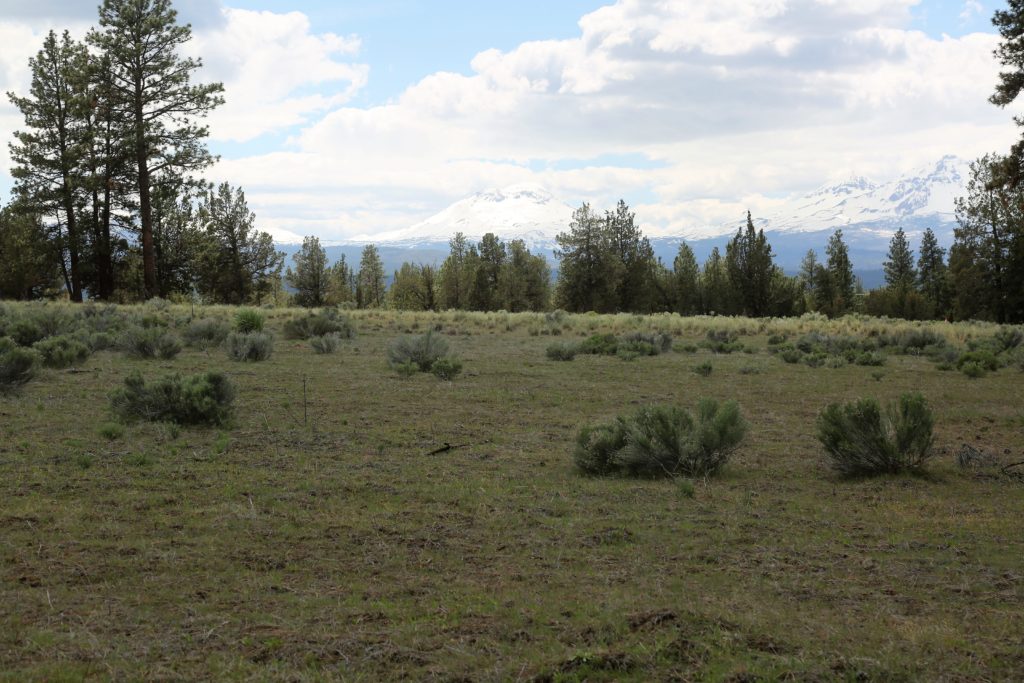
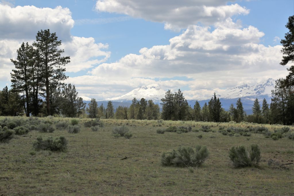
This beautiful and quiet campground lies on the South Fork of the McKenzie River and was originally constructed in 1934 by the Civilian Conservation Corps. It is located well away from the main road and some of the sites spread around an open meadow.

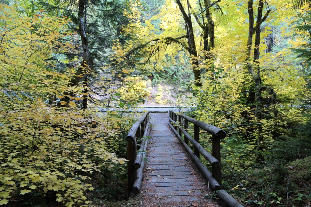
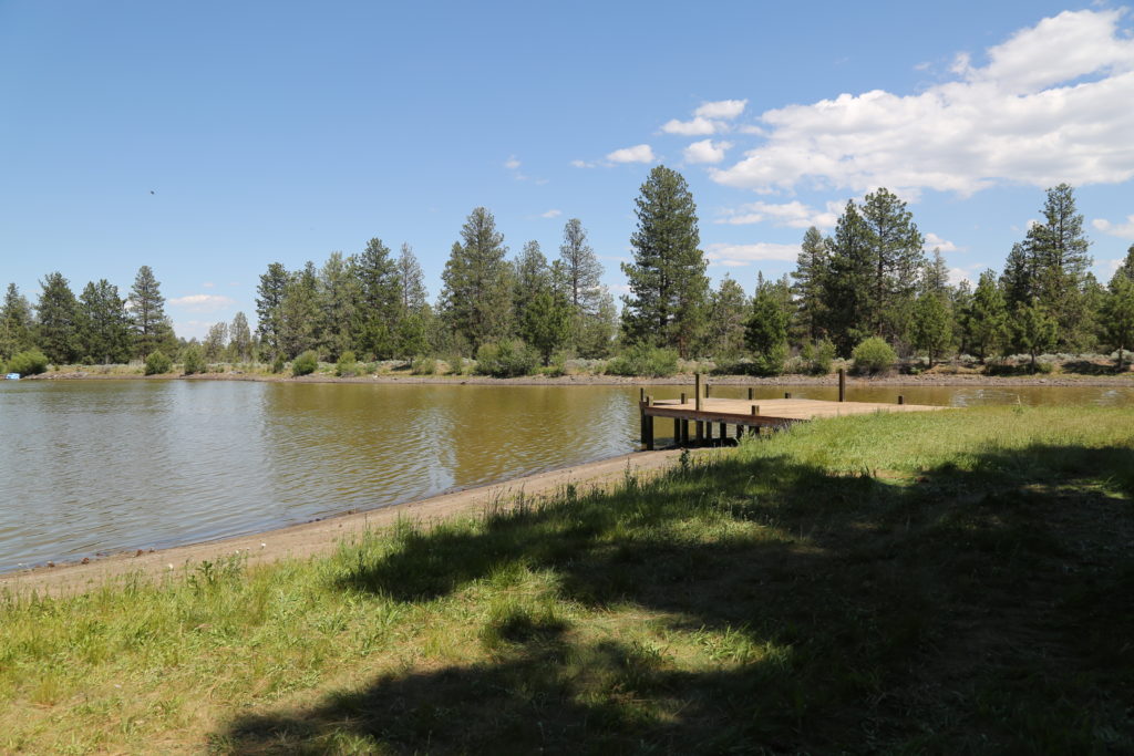
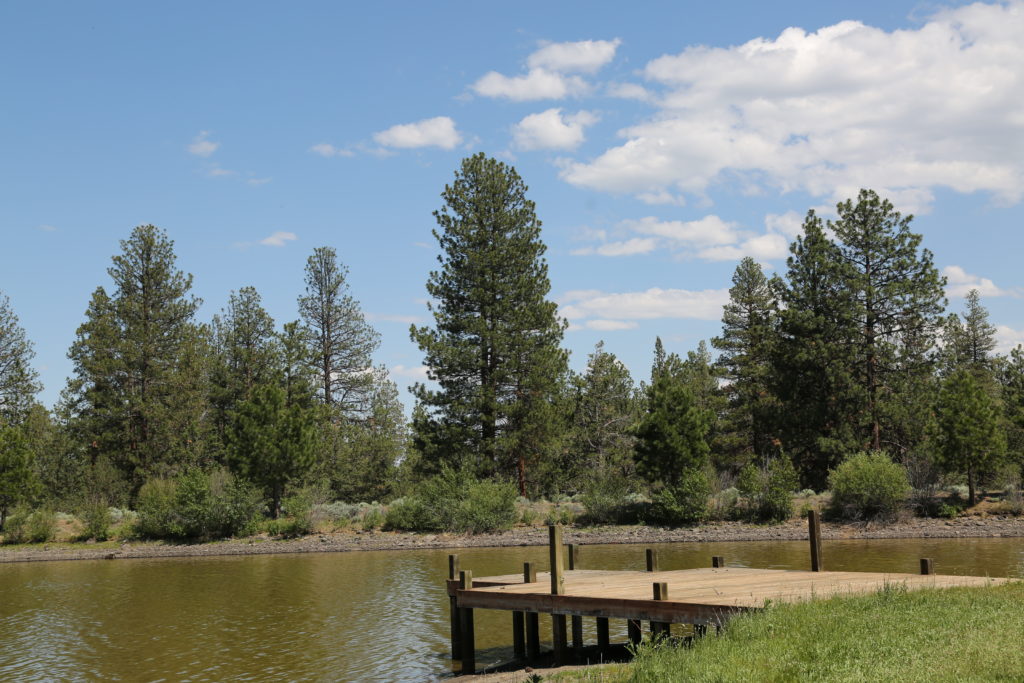
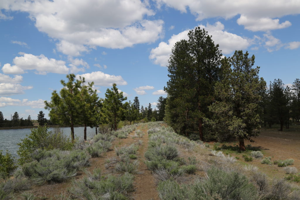
It’s useful for filming due to the natural beauty of the location, the easy access to the river, bridge and available parking for production vehicles.  as shown in these images, it’s particularly stunning during the Fall season when the leaves are changing color.  The highway leading to it is also stunning at that time.

Images taken late September.

Permit required from the Willamette National Forest. Please allow at least 30 days for processing.

Frissell Crossing Boat Ramp / Campground


Continue Reading

Sahalie Falls (McKenzie River Trail)

Sahalie Falls are located on the National Scenic Byway off Highway 126.  The Waterfalls Loop Trail, part of the McKenzie River National Recreation Trail, connects the two waterfalls and offers up close views of the wild McKenzie River.
These falls mark the terminus of two thick flows of basaltic andesite lava that dammed Clear Lake and moved into the McKenzie River 3,000 years ago. The results are two breathtaking waterfalls with foaming white water cascades in between.
There are restrooms and observation points. The parking areas are not overly large, but at Sahalie would accommodate a large film production truck and other vehicles as there are two areas for vehicles.
The area has walking trails and pathways leading down to the Falls and could be utilized for multiple shoots.  The are is particularly stunning in the Fall when the leaves are changing.

Permits required. Please request at least 30 days in advance. Additionally, the area can be challenging to access in the winter as the McKenzie River Highway is closed in certain sections due to snow accumulation.

Please contact us for further information.

Sahalie Falls

Sahalie Falls Pathway


Continue Reading

Dee Wright Observatory

Located in the Cascade Mountain Ranges at 5,187 feet, this mountain observatory offers panoramic views across 65 square miles of black lava rock that looks so much like a moonscape that in 1964, NASA conducted drills with astronauts as they prepared to travel to the moon. Completed in 1935 by the Civilian Conservation Corps (CCC), the observatory was named in memory of Dee Wright, the crew’s foreman who passed away the year before.

This is a unique location for a production wanting something different.  The area is particularly suited , for a mountain biking shoot due to the pnderosa covered windy road up to the Observatory from Sisters. The area also has burned out sections from recent forest fires.

On a clear day, you can view Mt. Washington, Mt. Jefferson, the South, North, and Middle Sister, and even see Mt. Hood, 78.5 miles to the north. The observatory provides stunning backdrops for your shoot.  There’s parking and restroom on site.  The Observatory is located approximately 20 minutes from the town of Sisters.


Dee Wright Observatory

Dee Wright Observatory

Continue Reading