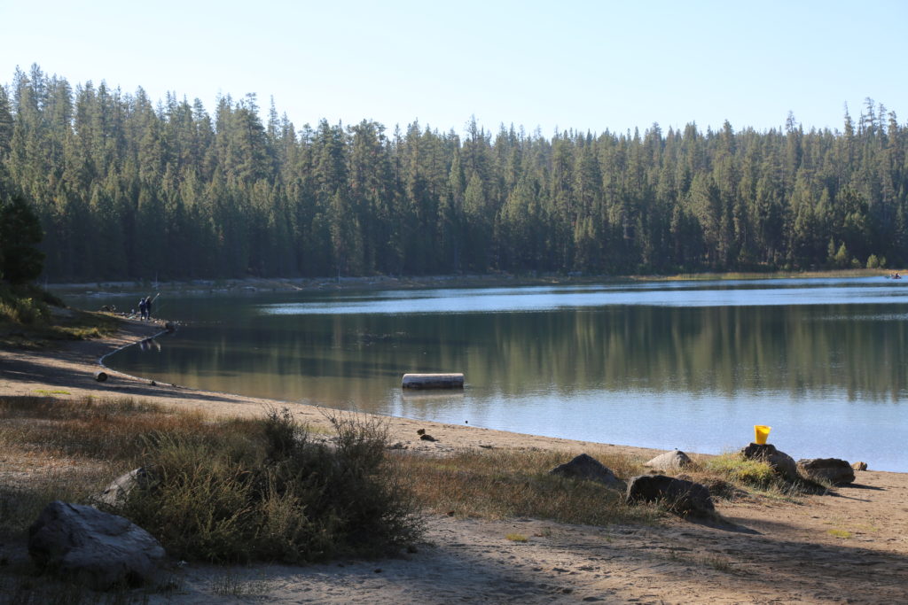
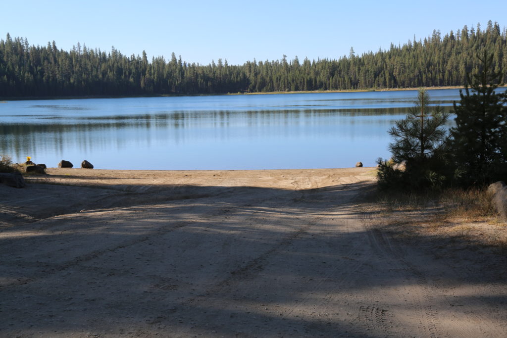
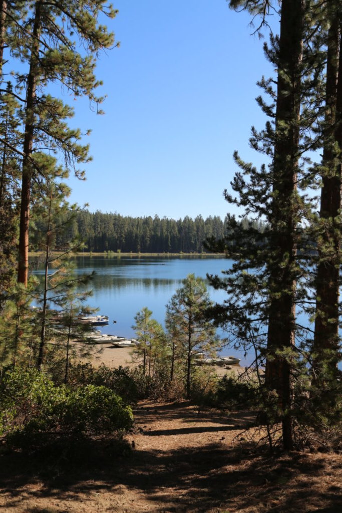
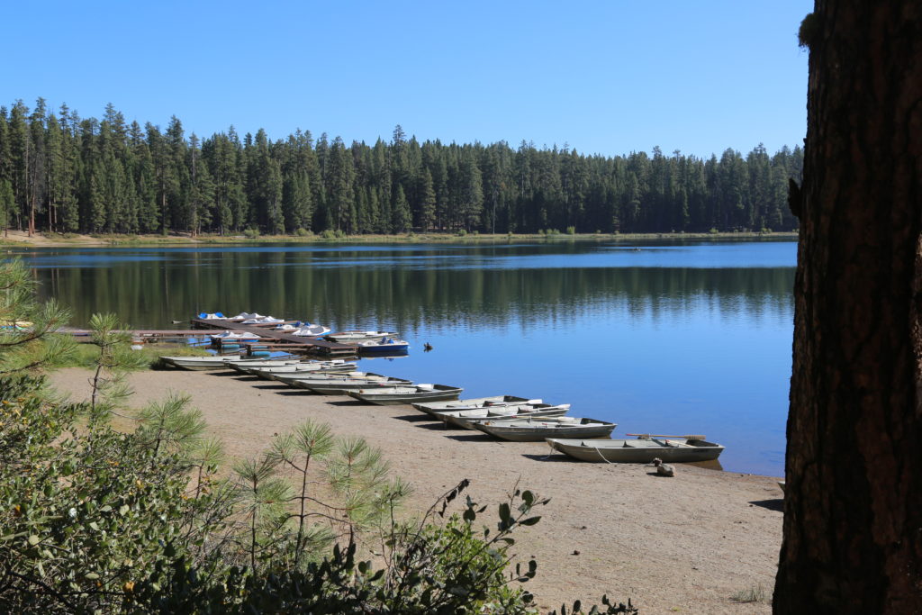
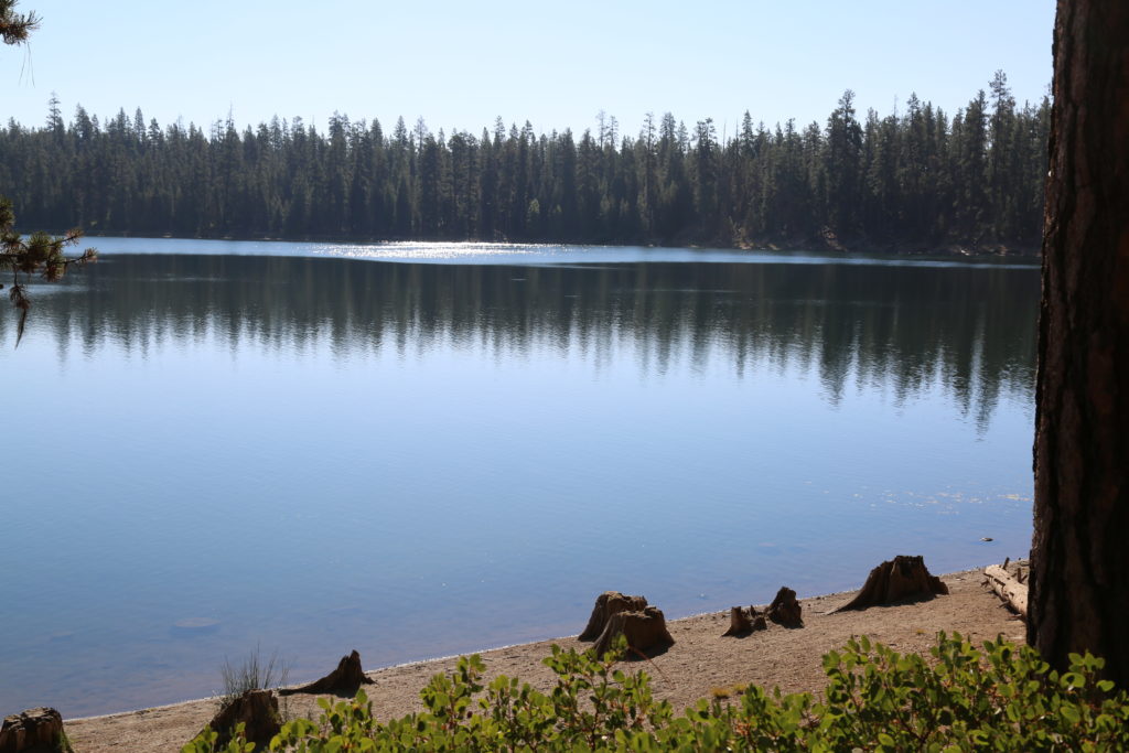
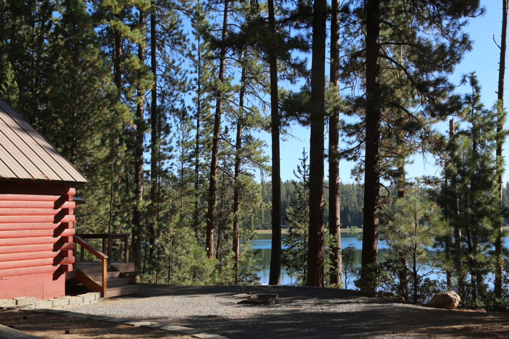
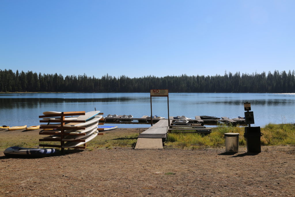
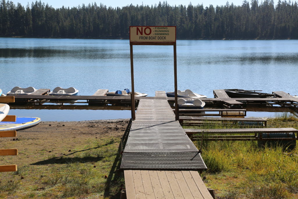
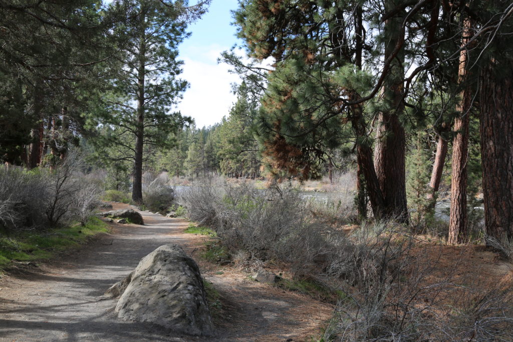
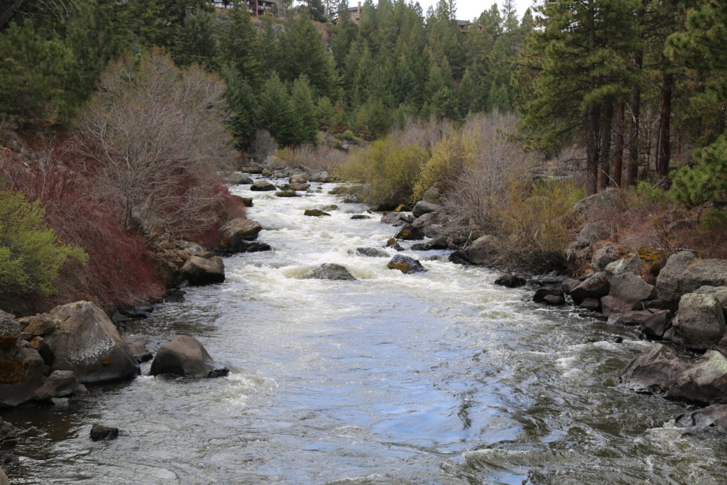
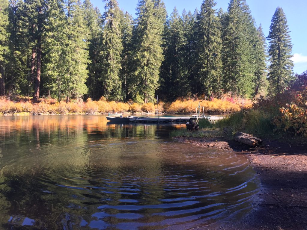
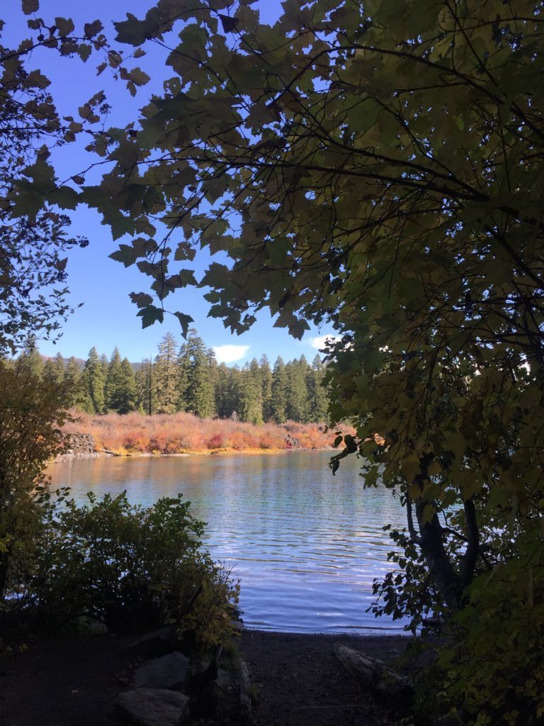
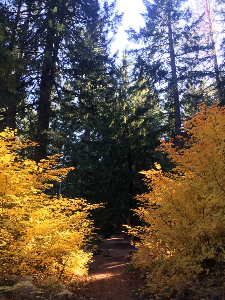
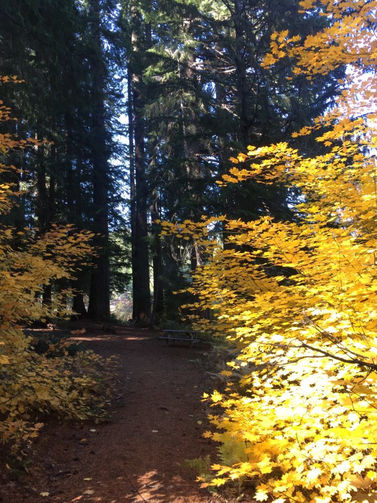
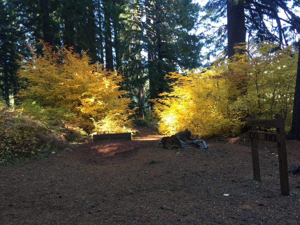
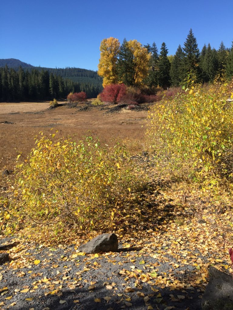
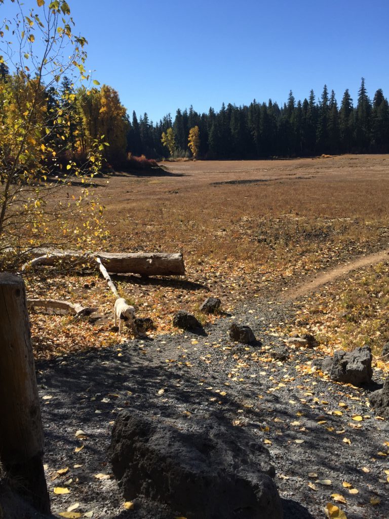
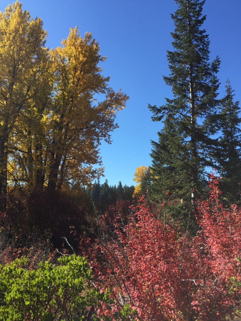
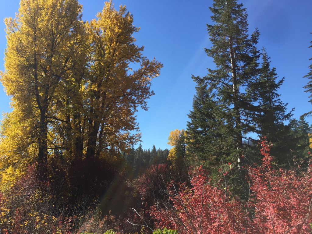
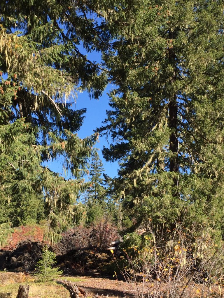
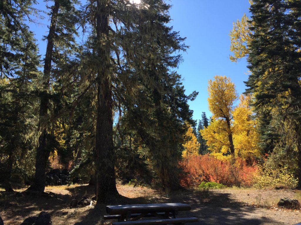
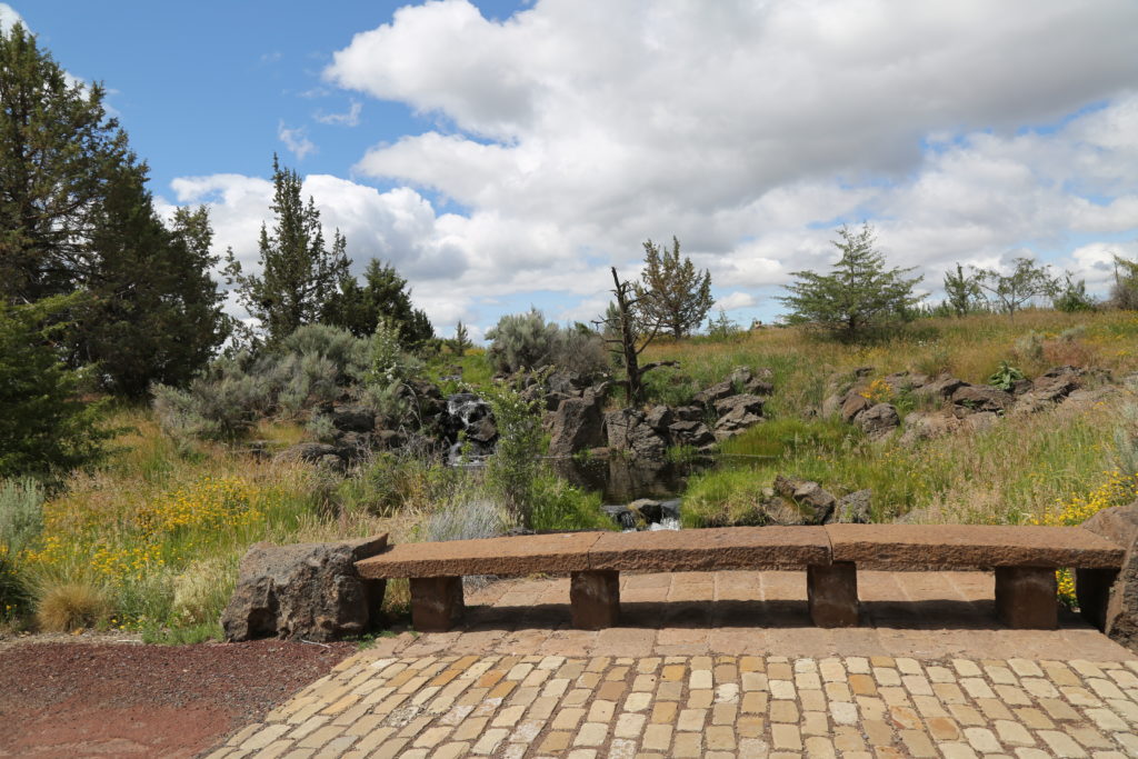
Clear Lake is a mountain lake near Sisters, Oregon, in Linn County. It has two main bodies connected by a bottleneck. The lake is primarily fed by snow runoff from nearby Mount Washington and the surrounding areas which is what makes it so clear.
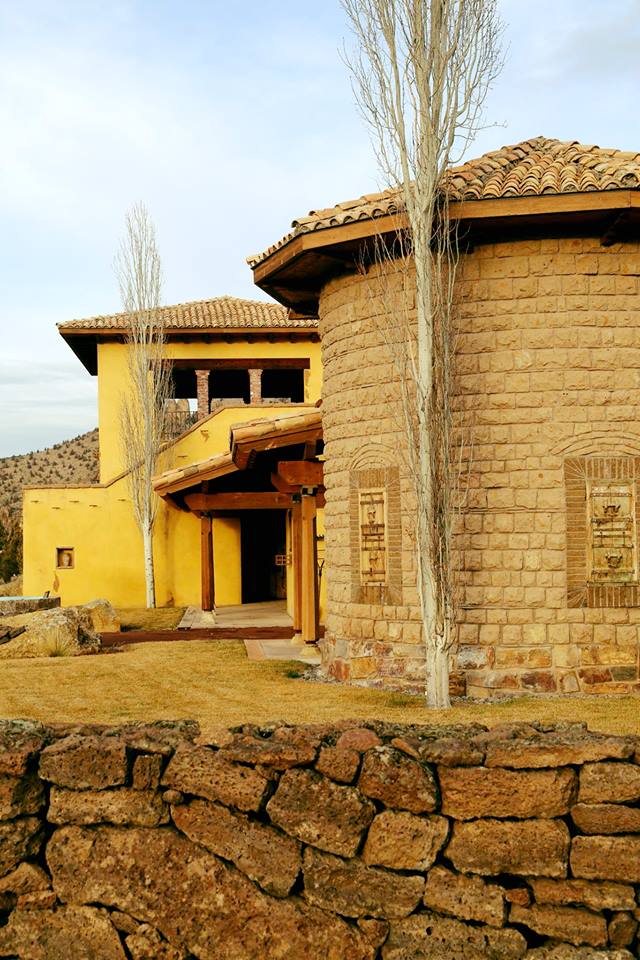
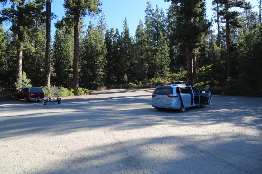
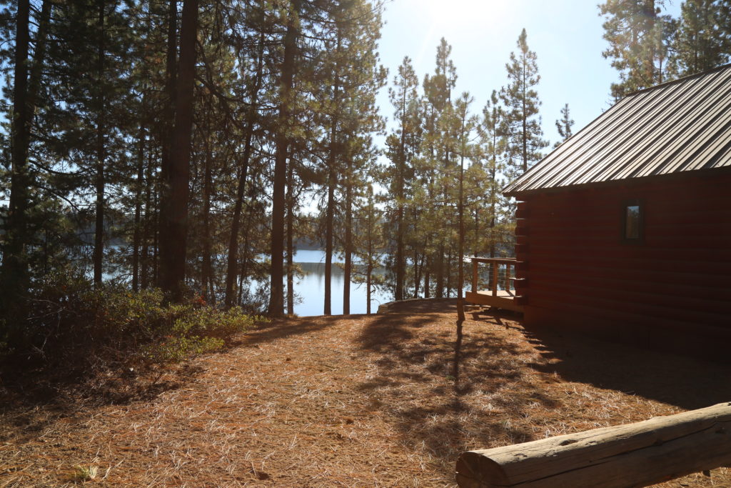
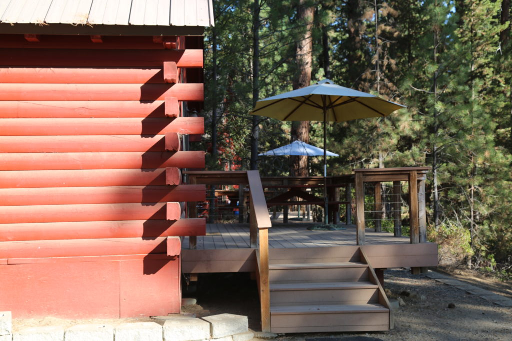
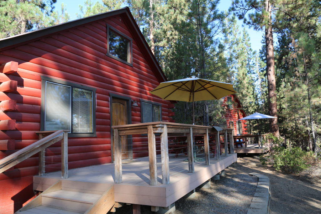
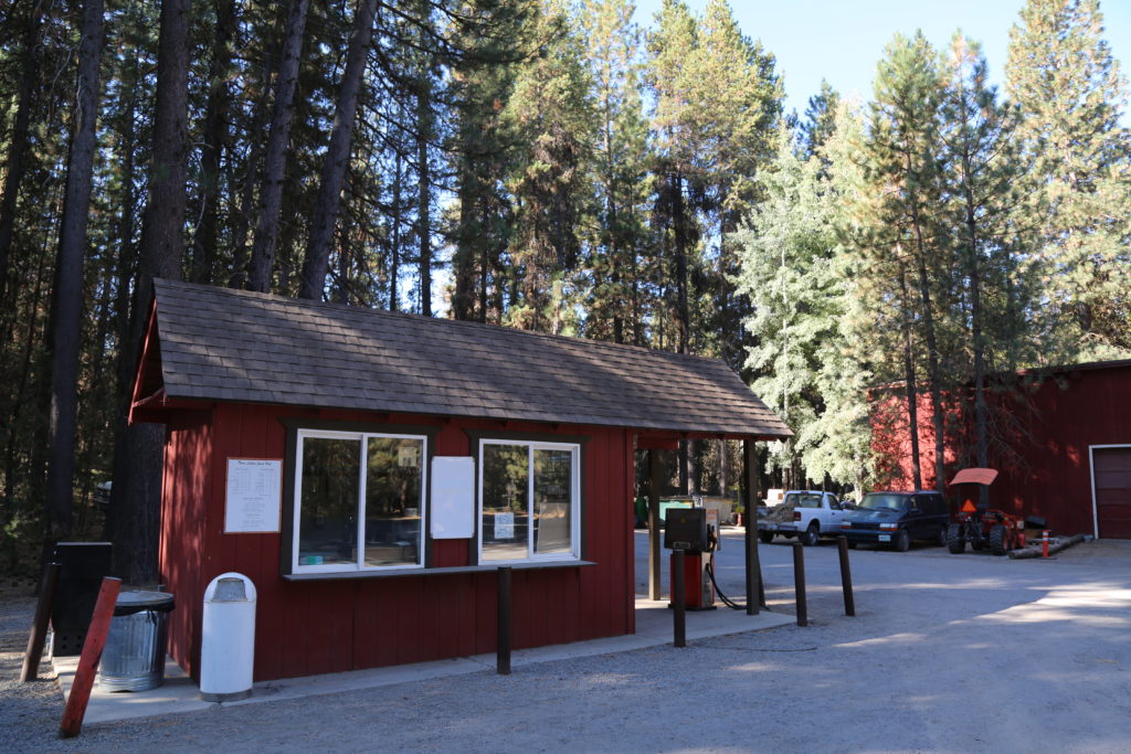
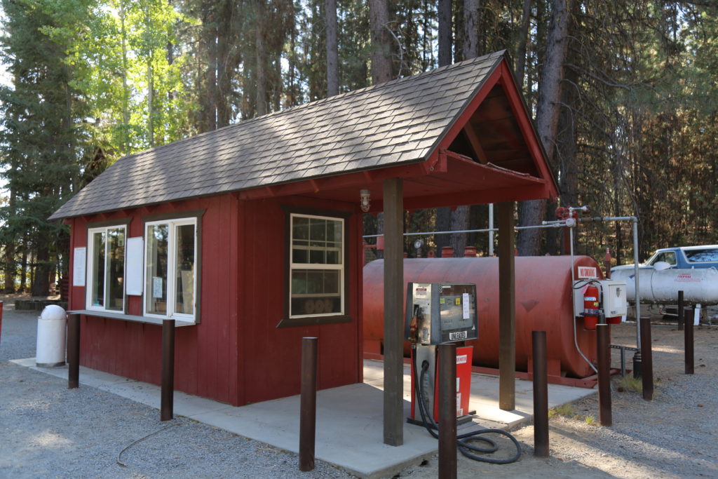
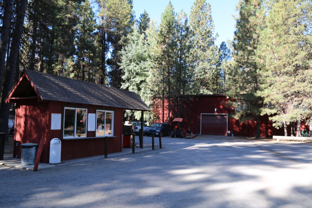
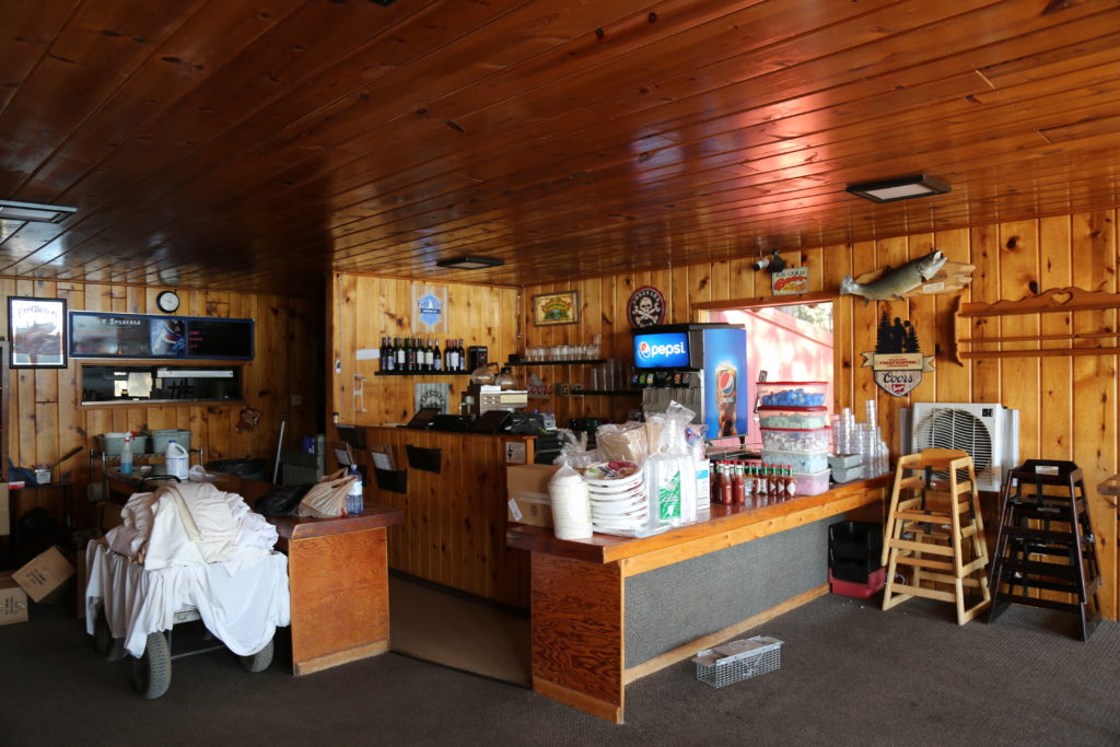
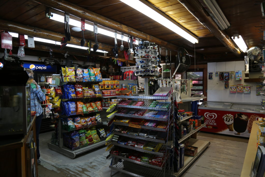
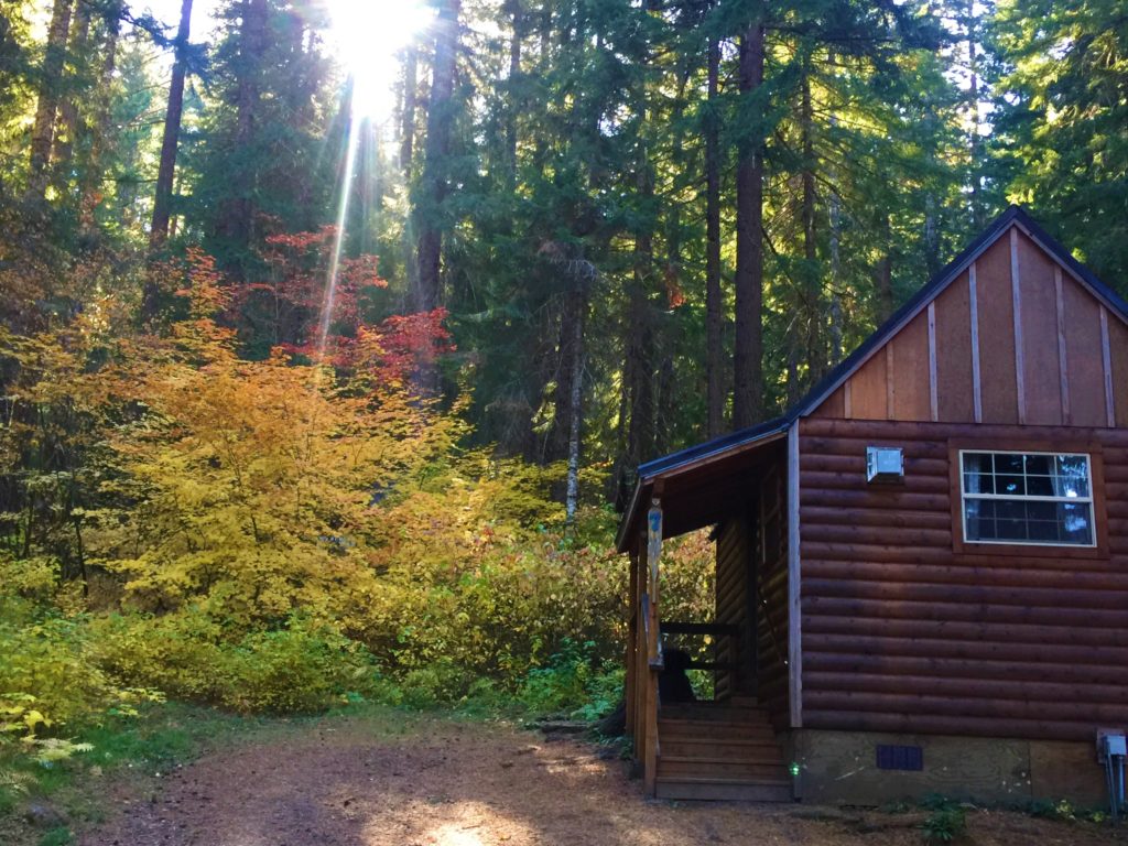
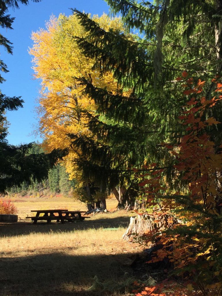
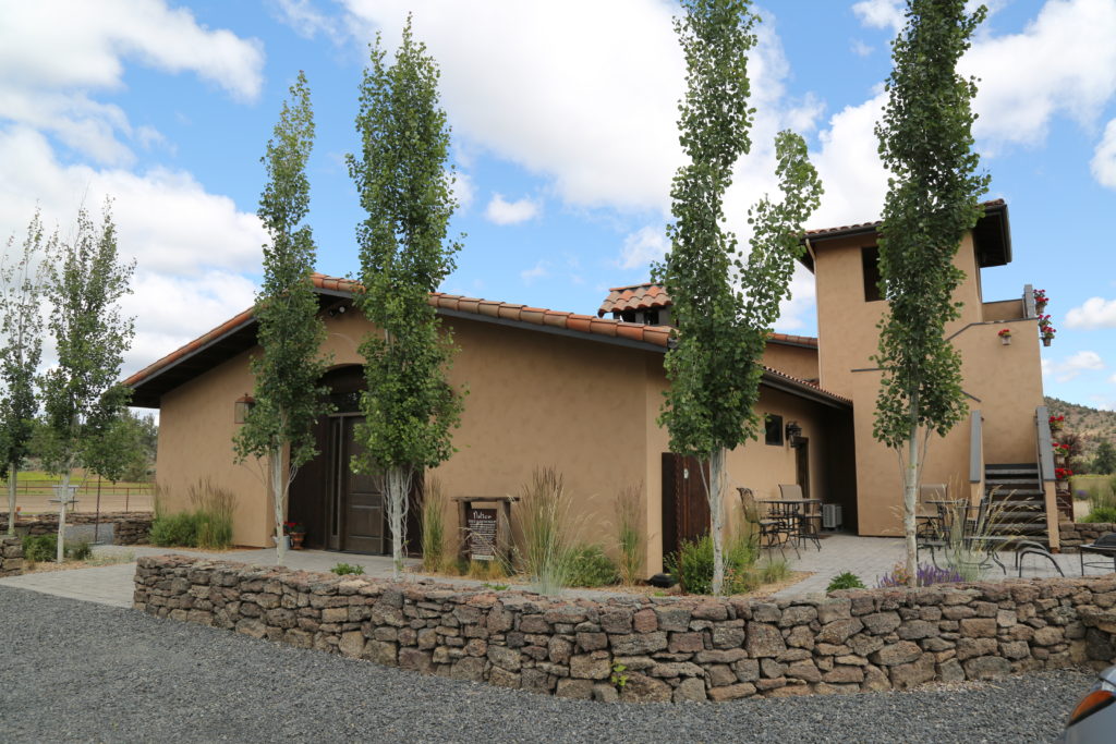
There are rustic cabins on site for accommodation, and a small restaurant and retail shop. There is a good amount of parking although accessibility may be an issue as the road leading down to the lake is a little steep. The road goes in a one way loop up to the main highway.
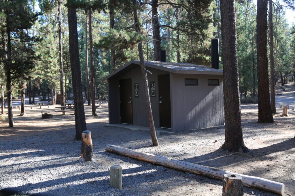
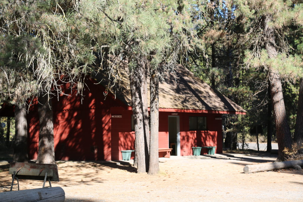
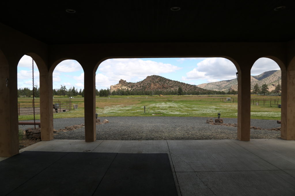
There are covered sheds on site for public use that could be reserved for a film crew.
Fees payable to the National Forest and Resort are applicable and need to be actioned at least 30 days in advance.
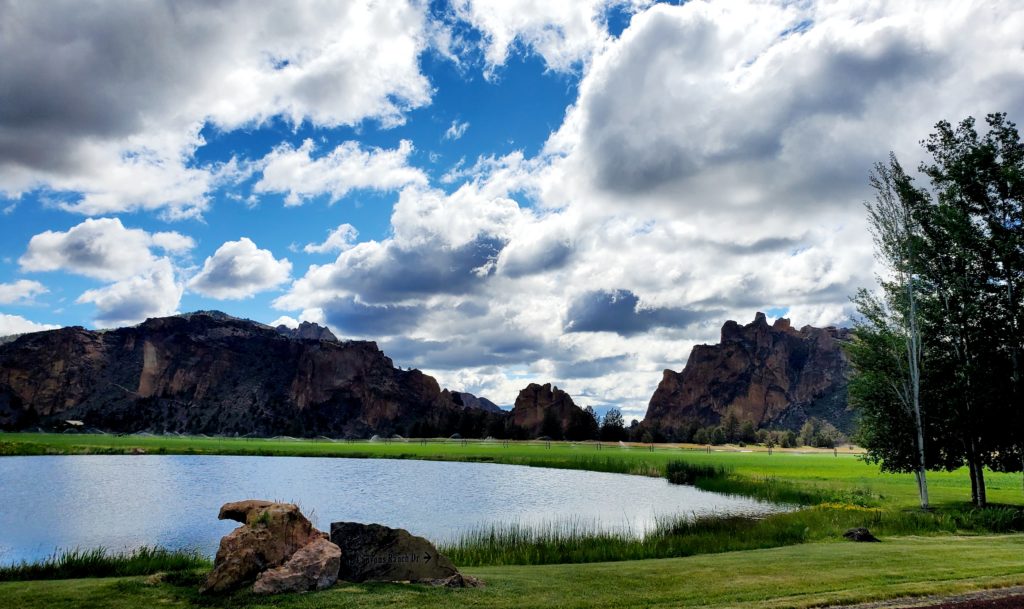
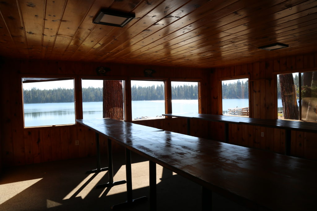
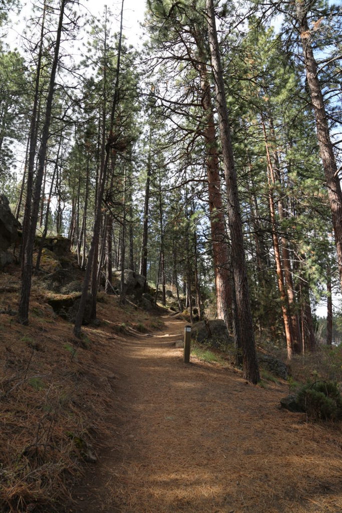
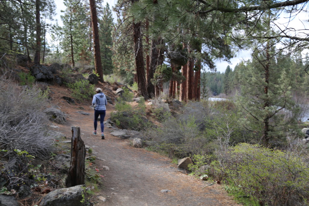
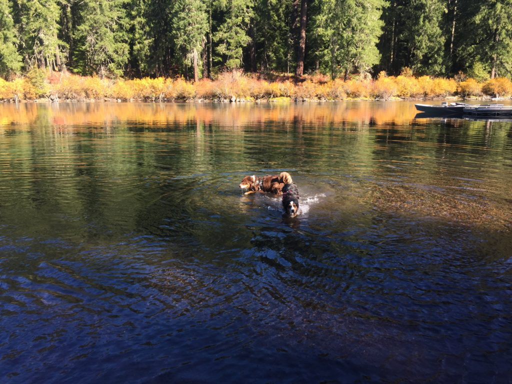
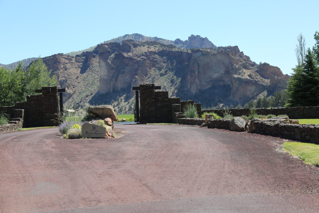
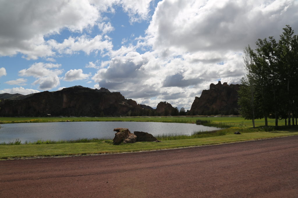
Excellent location for recreation and fishing shoot or branded content.
Surface elevation: 3,012′
Area: 148 acres
Max. depth: 175 ft (53 m)
Shore length1: 3.2 mi (5.1 km)
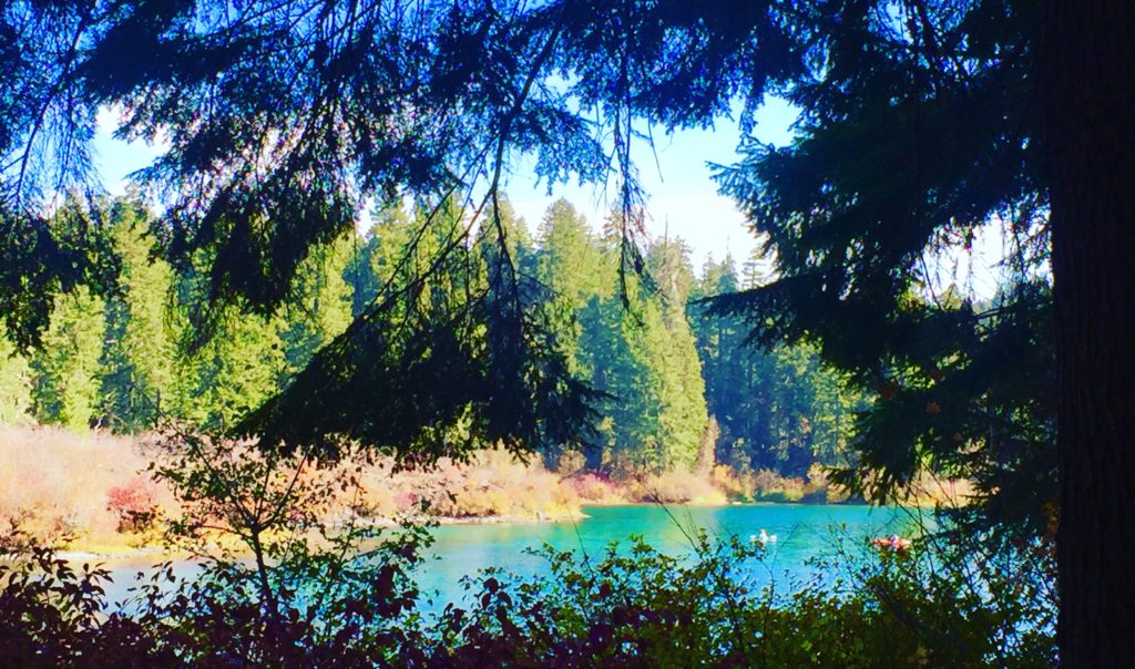
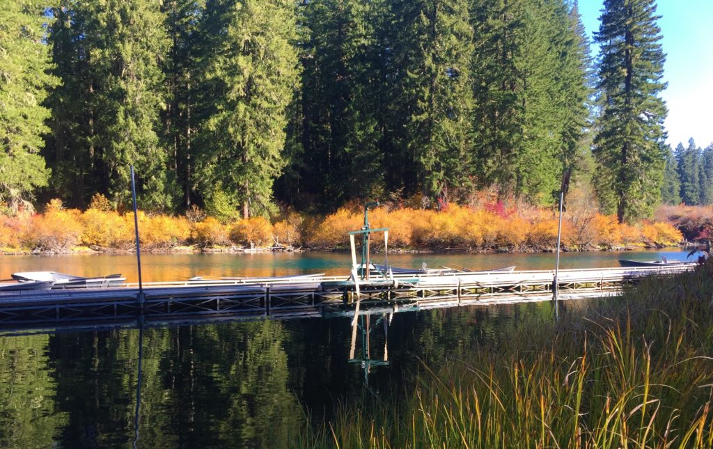
Clear Lake
Clear Lake
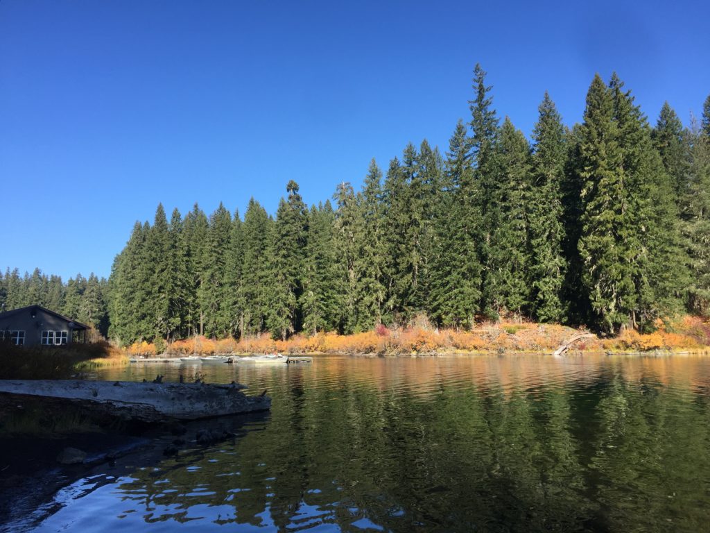
Small store and restaurant on site (left hand side)


 ‘
‘
 ‘
‘