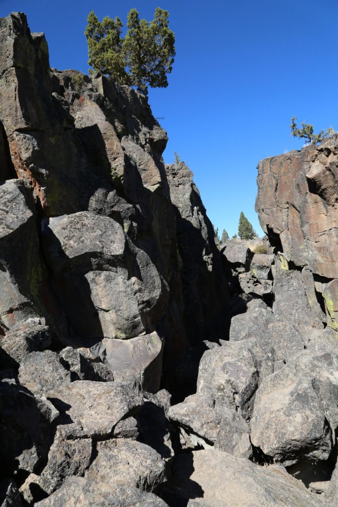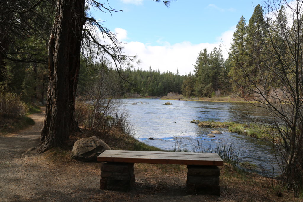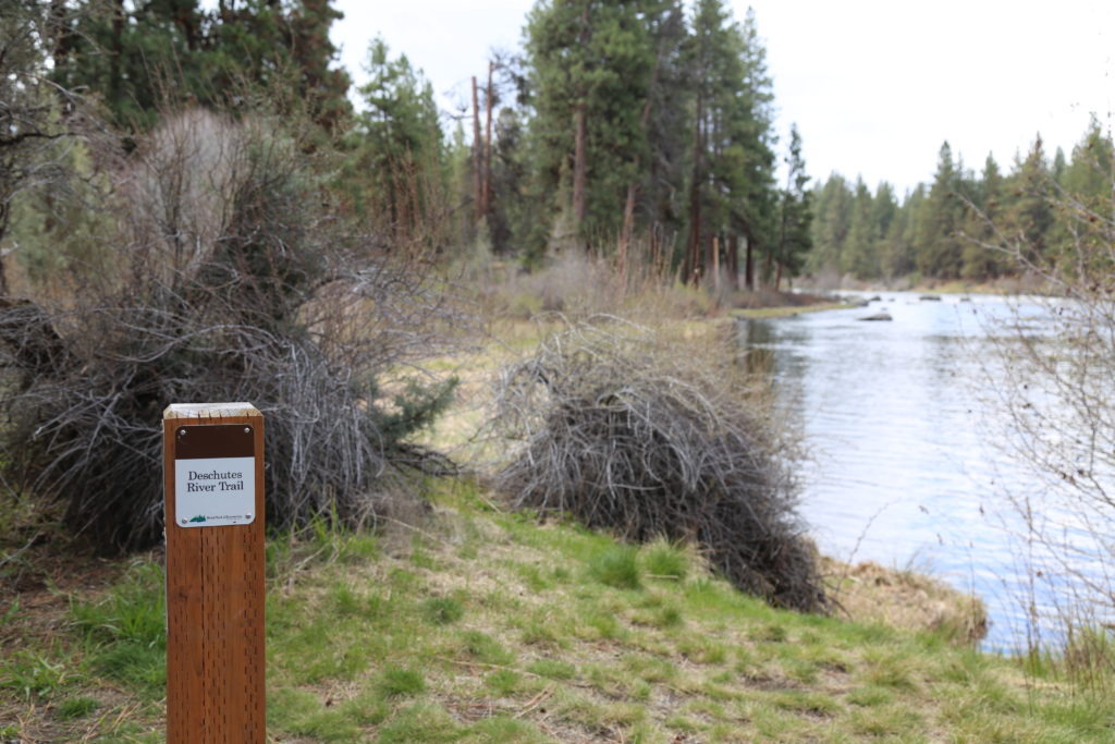
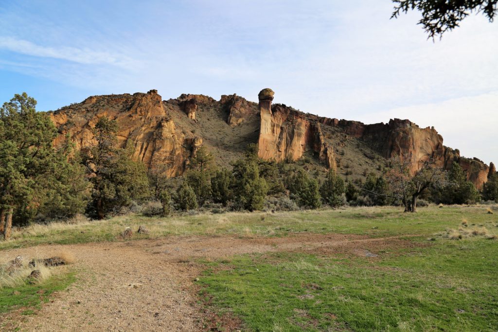
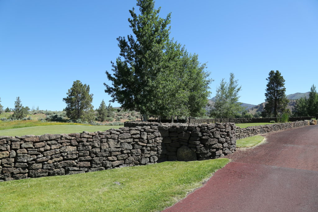
Along the Chimney Rock segment of Central Oregon’s Crooked Wild and Scenic River, Chimney Rock campground offers a stunning woodland setting amongst Western Juniper trees and beneath massive Columbia River rock formations. Fly-fishing and hiking on the nearby Chimney Rock trail offer excellent branded content opportunities, particularly for recreational and fly fishing requirements.
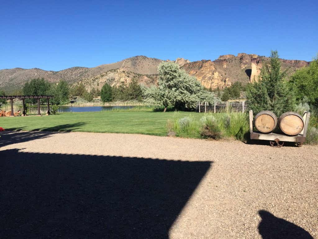
There is a reasonable amount of parking for vehicles, production rigs may be more challenged. Camping area would provide multiple areas for crew.
We highly recommend this area for a fly fishing or recreational shoot. Permits must be obtained from the BLM, and are required between 30-45 days in advance.
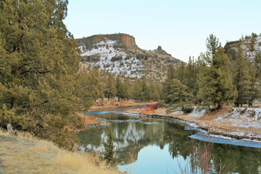
Images taken December 10 (bottom with snow) and November 19 (top, no snow, taken at 4.30pm)


Chimney rock Overview


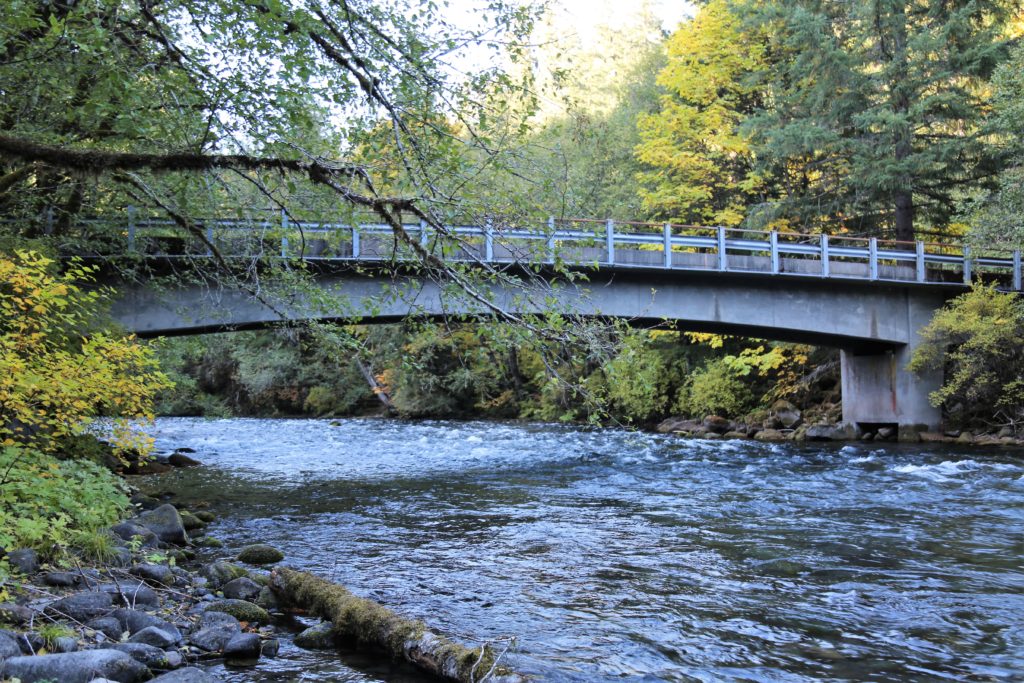


 ‘
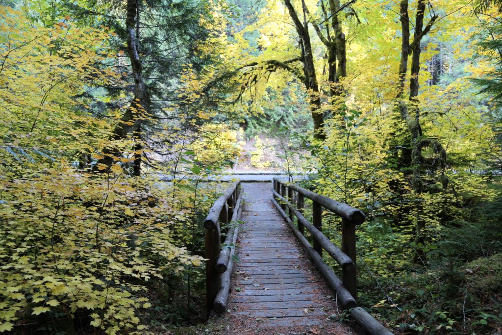
‘
 ‘
‘