Farewell Bend Park

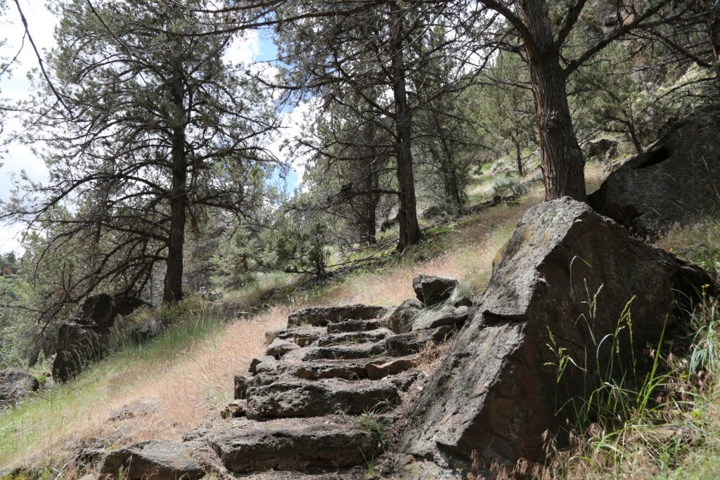
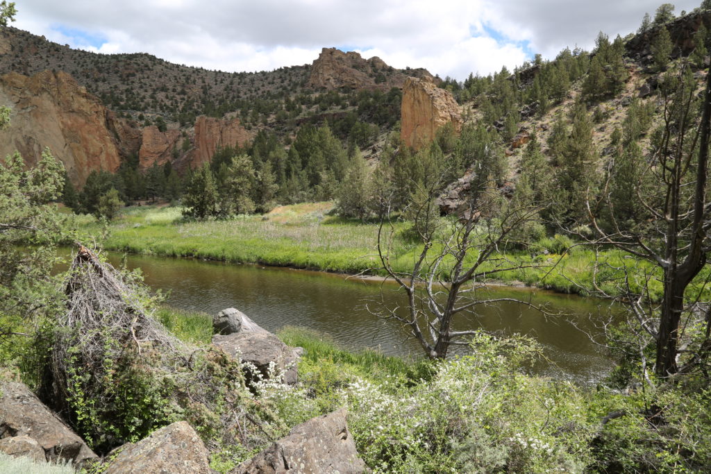
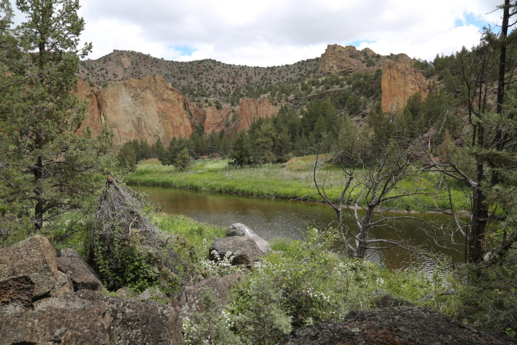
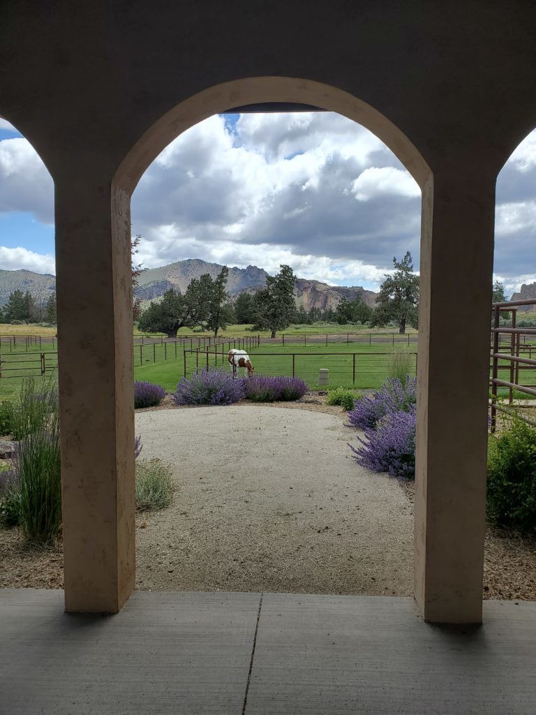
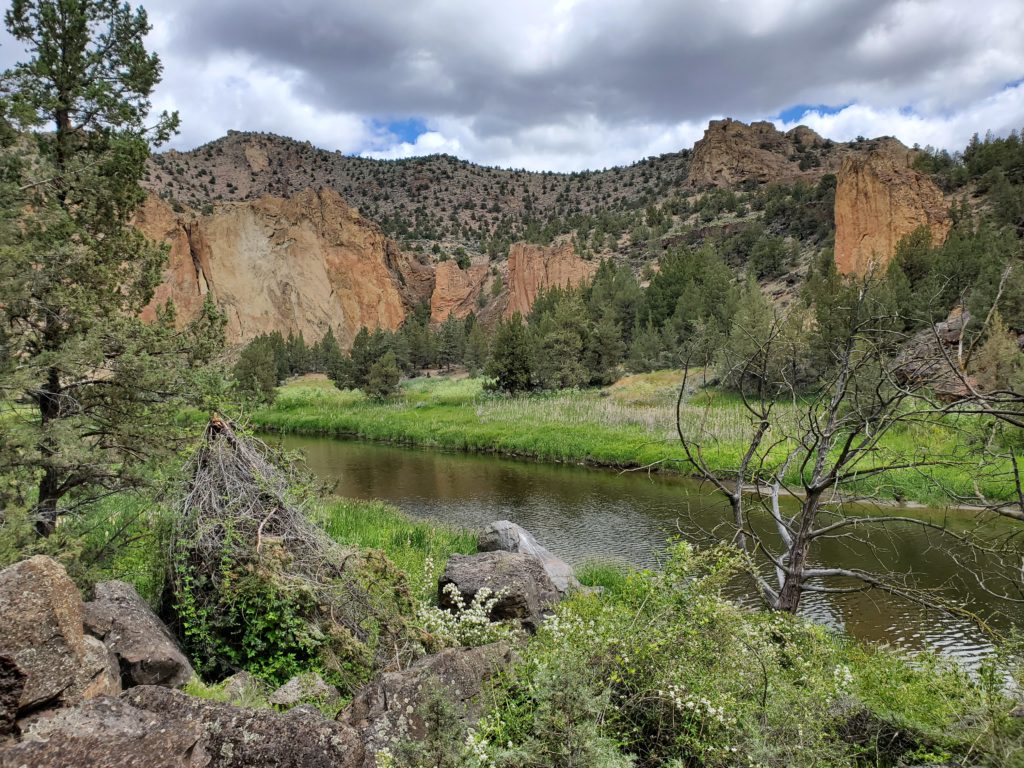
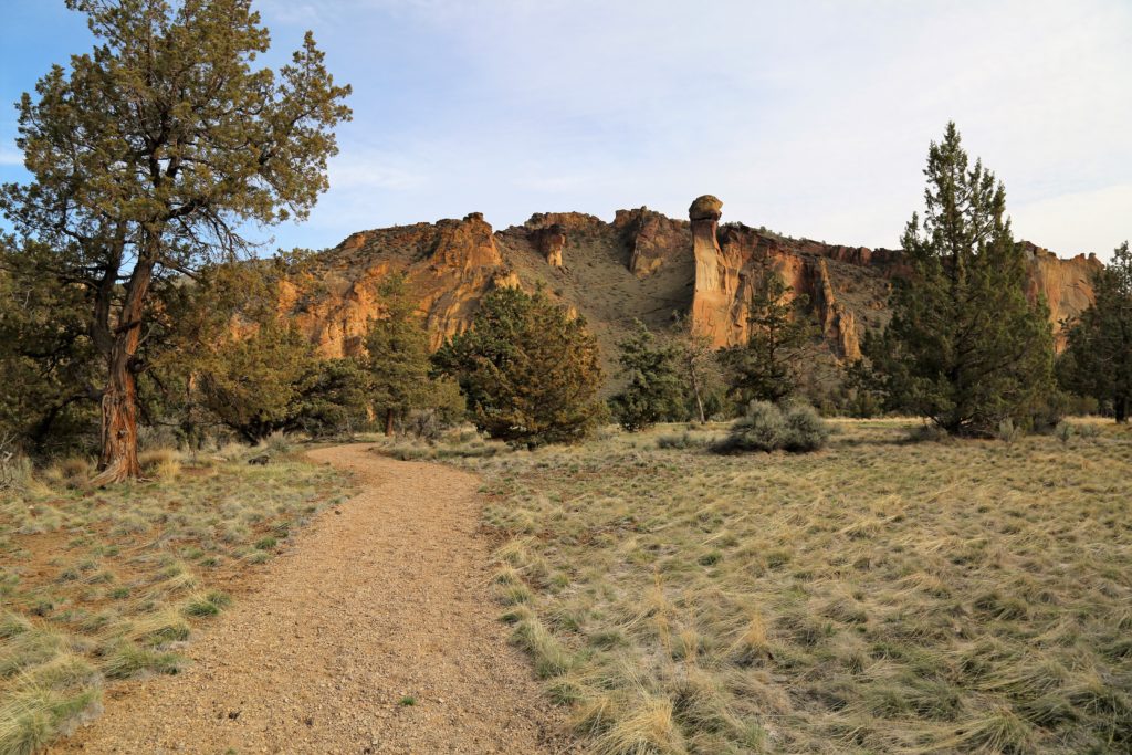
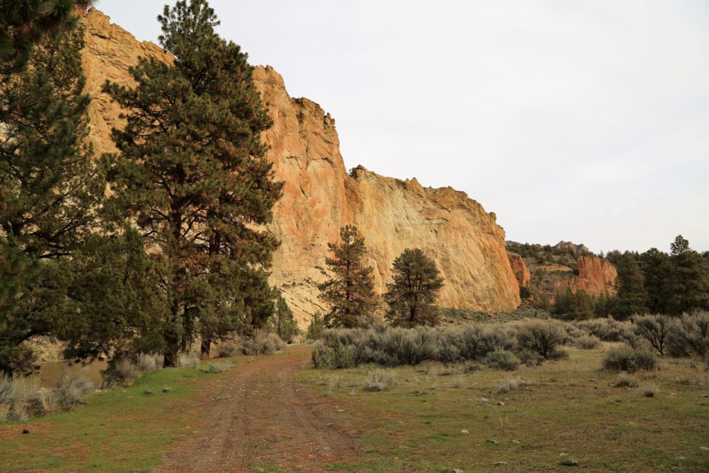
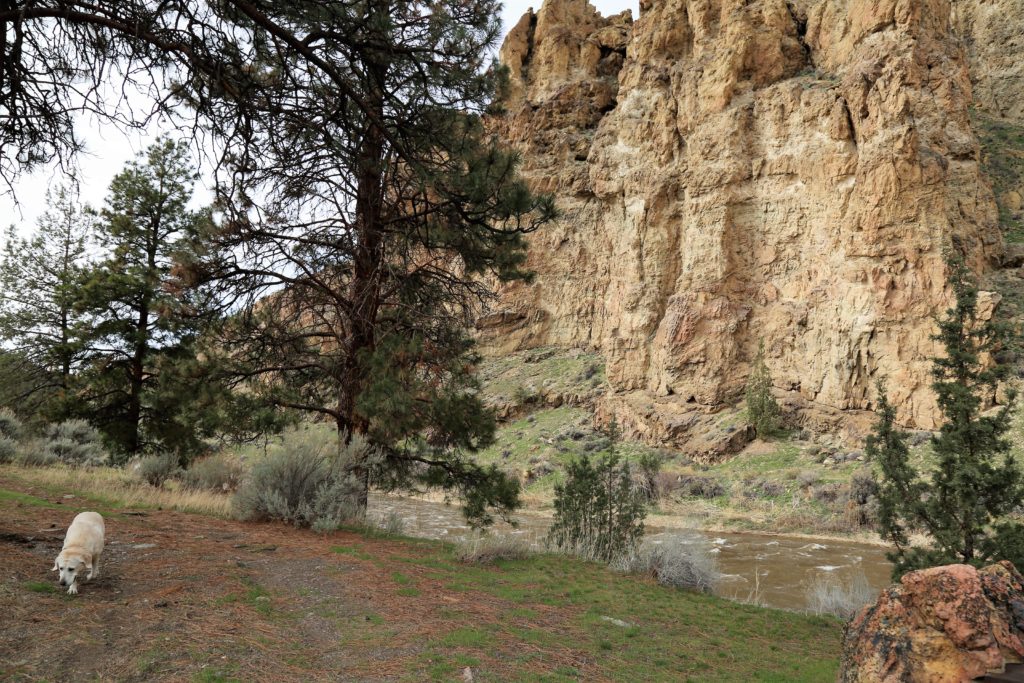
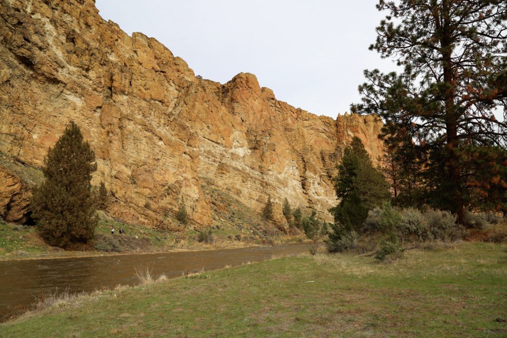
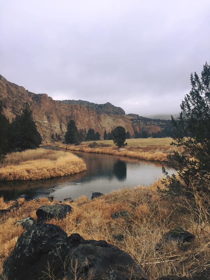
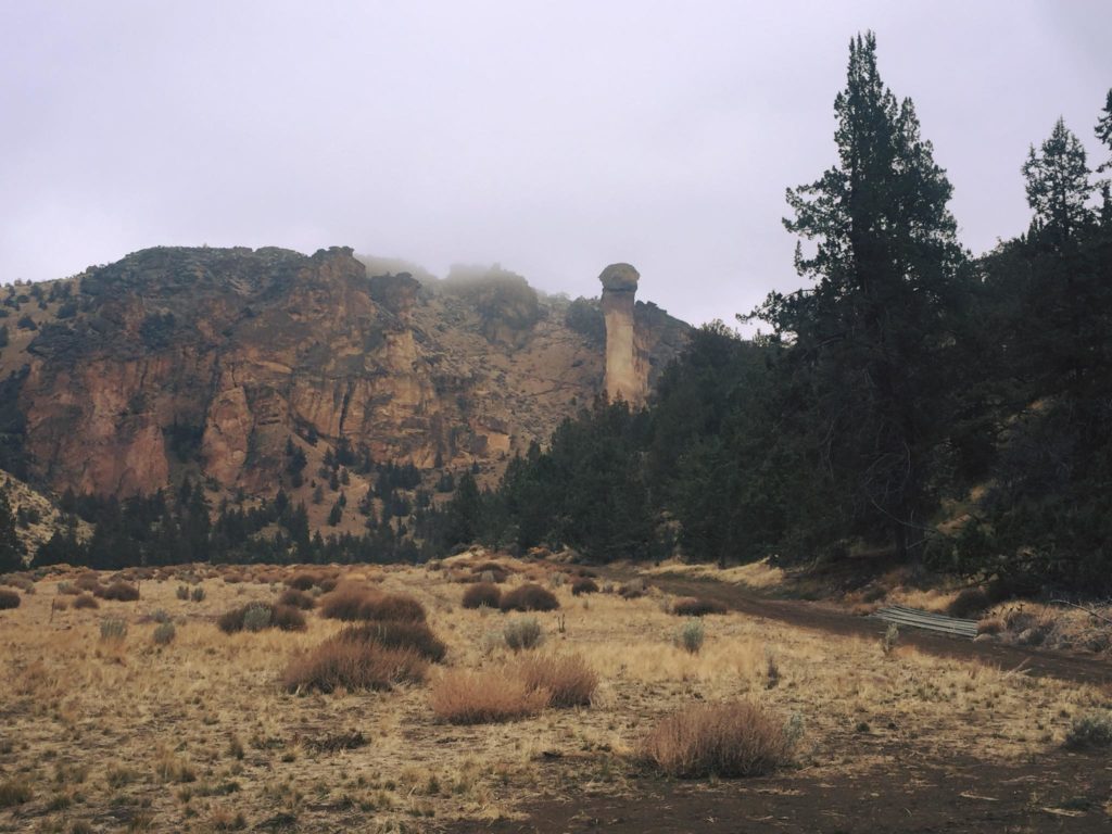
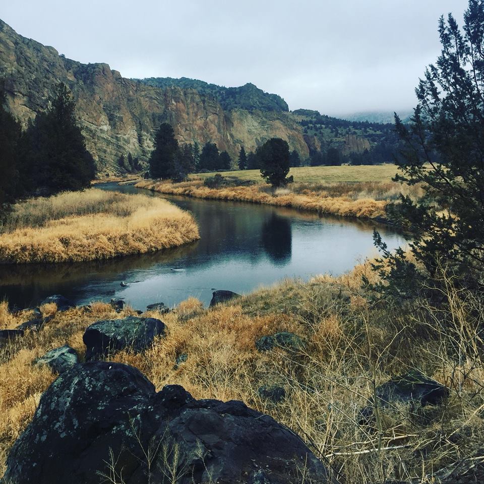
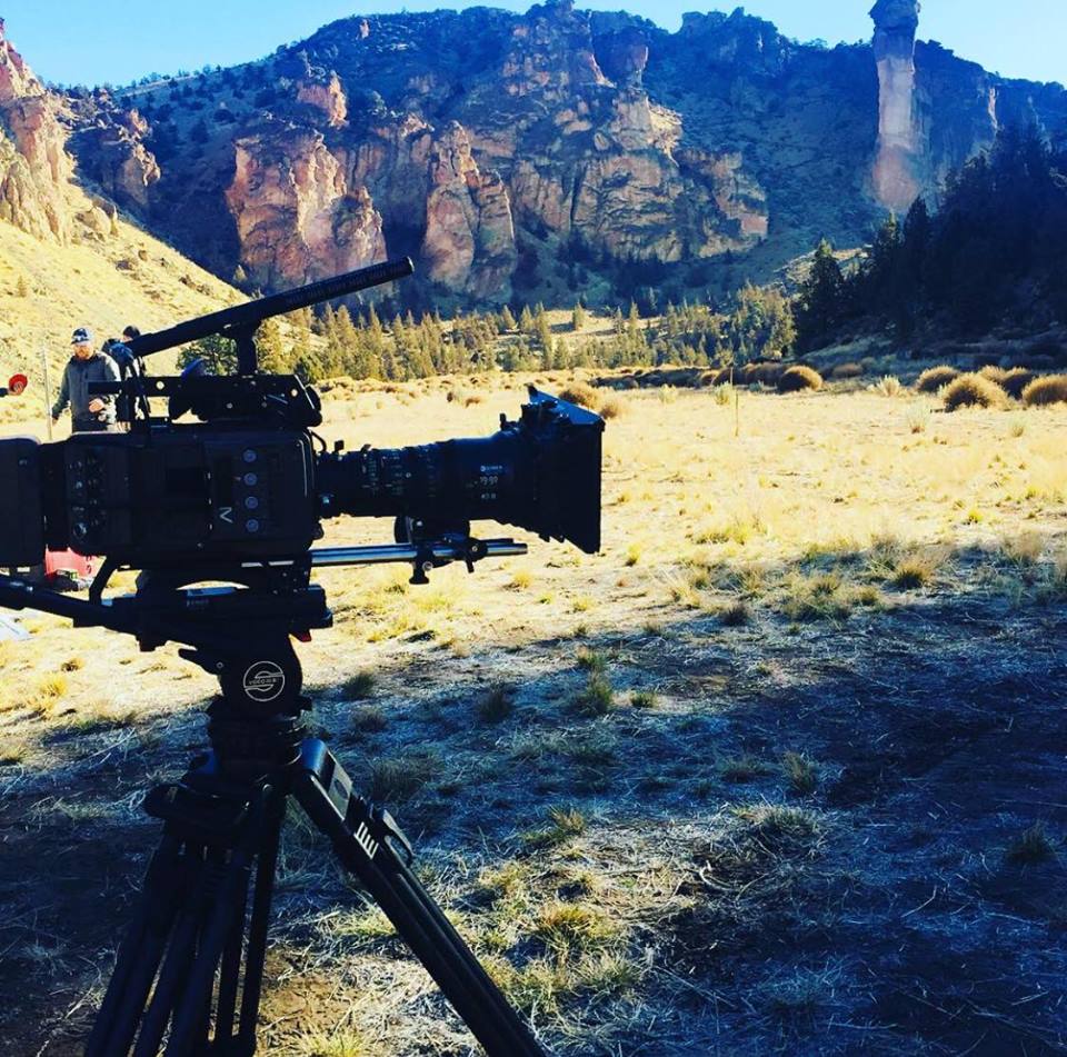
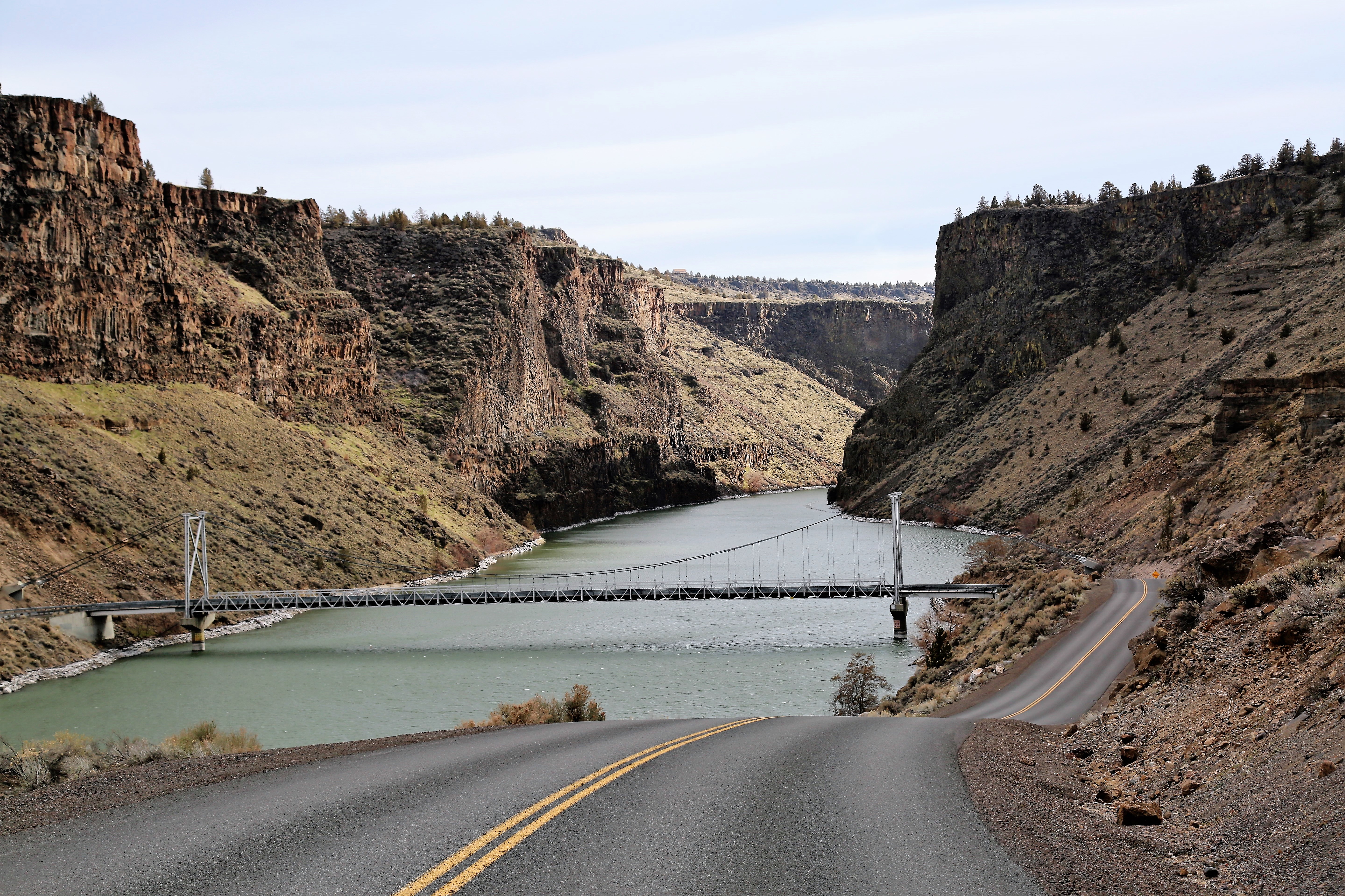
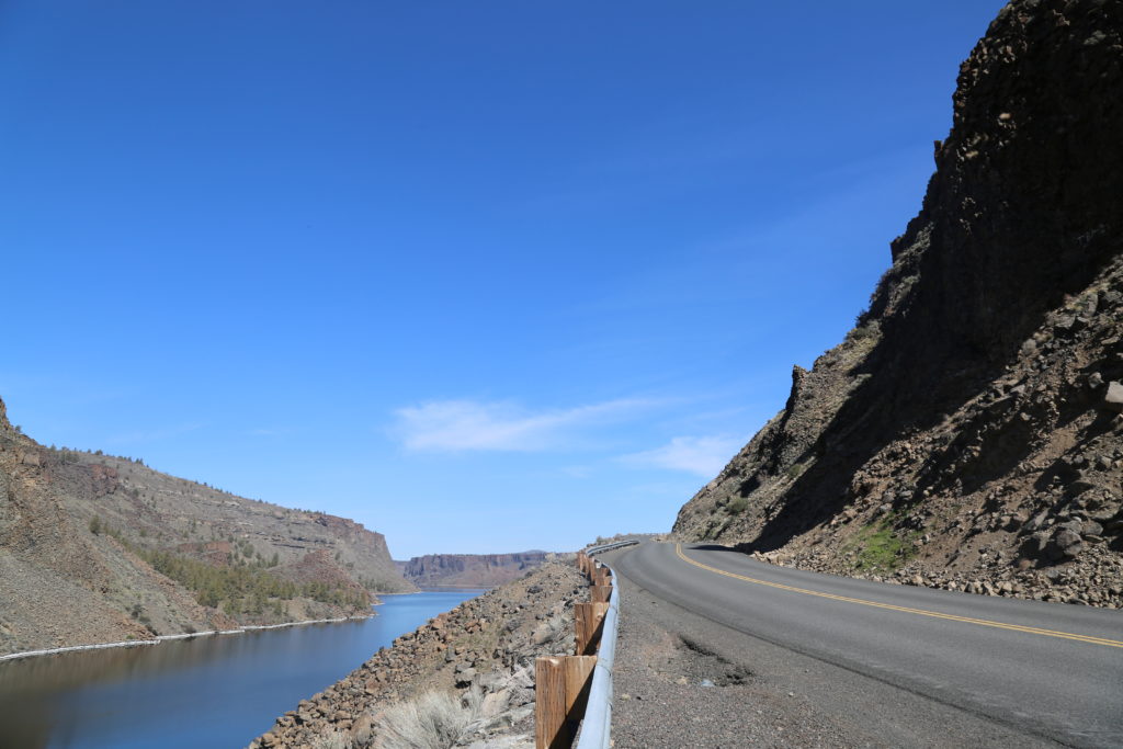
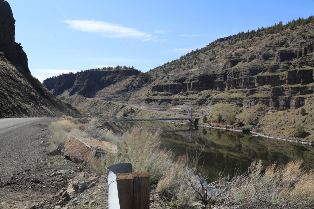
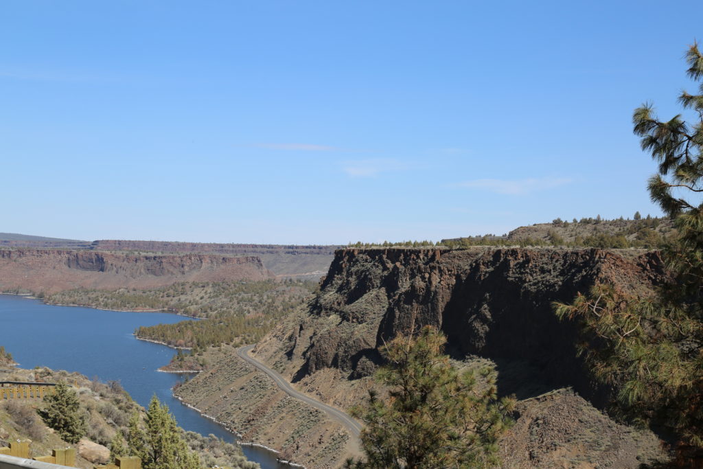
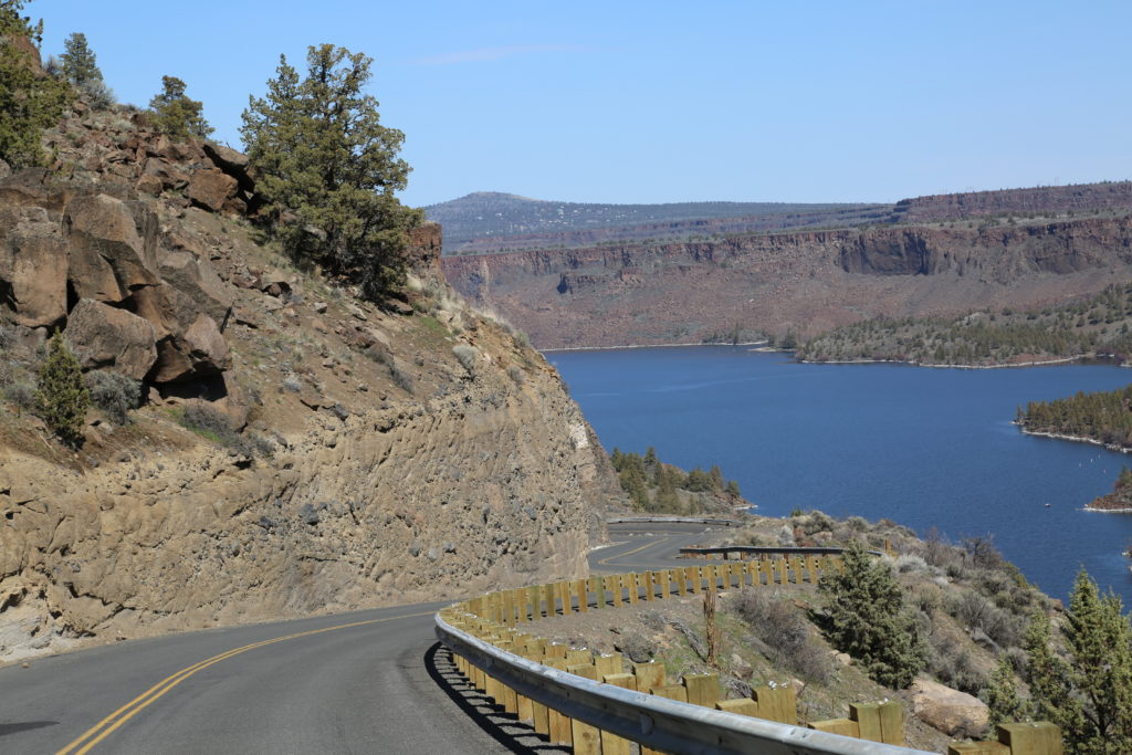
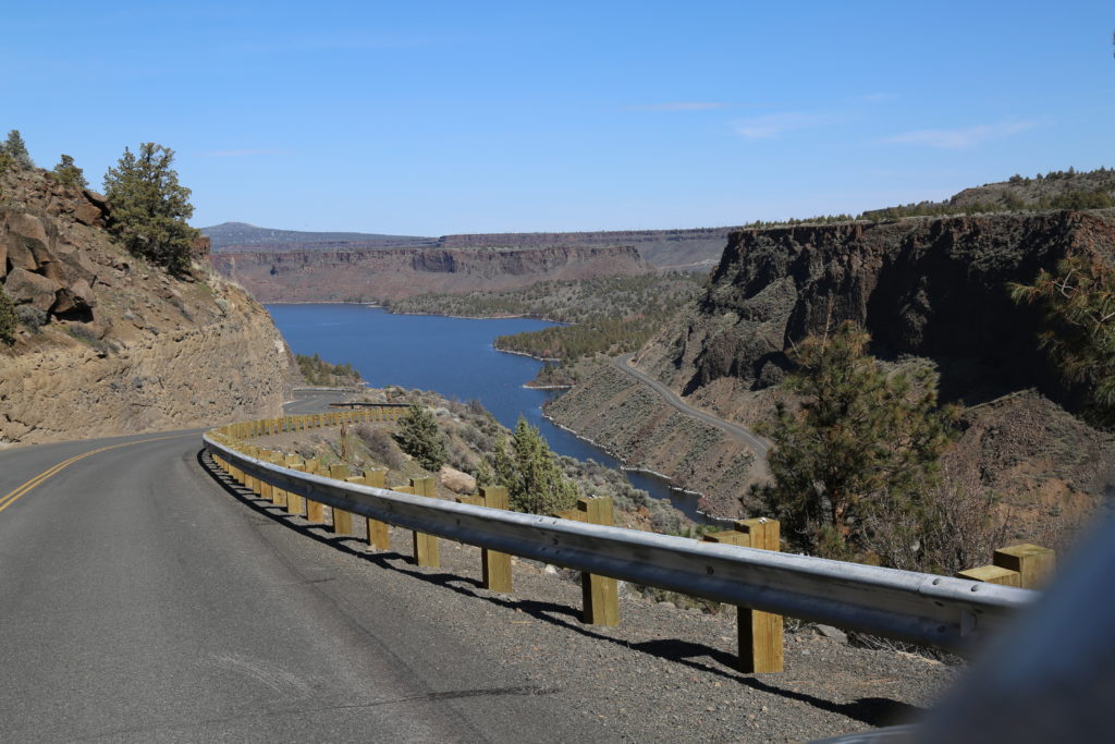
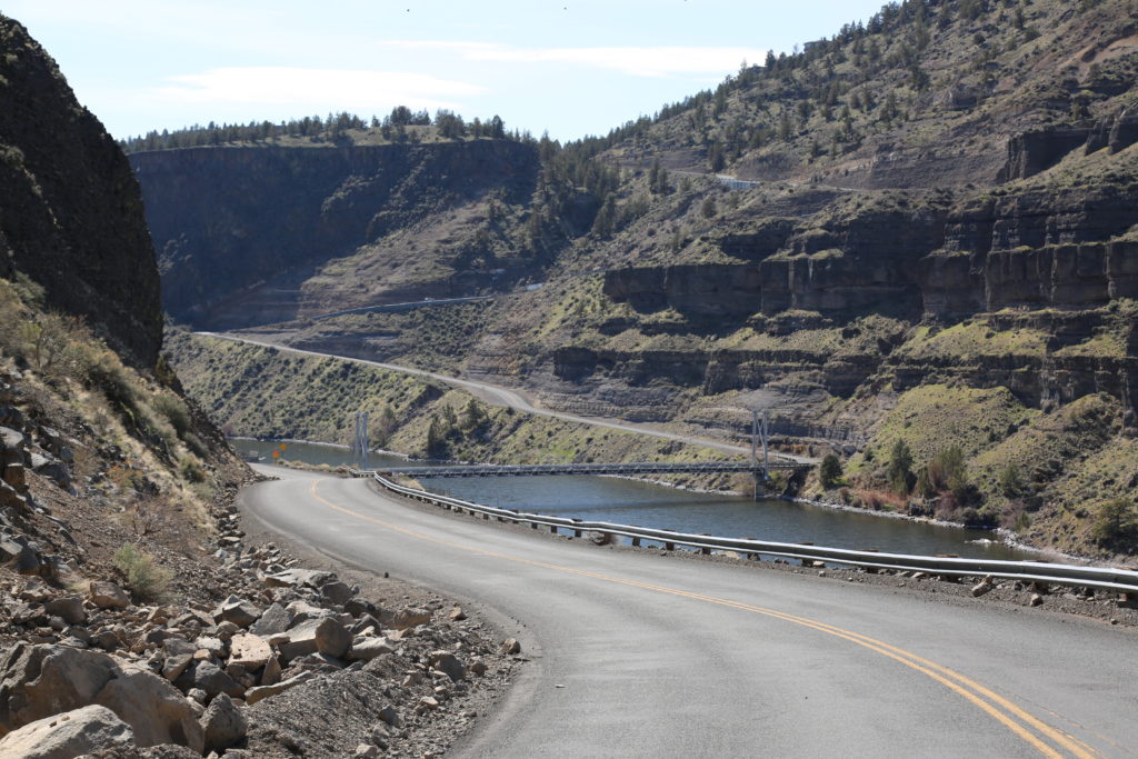
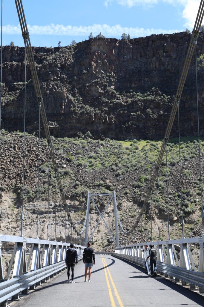
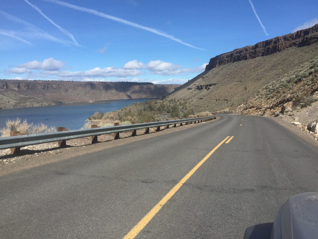
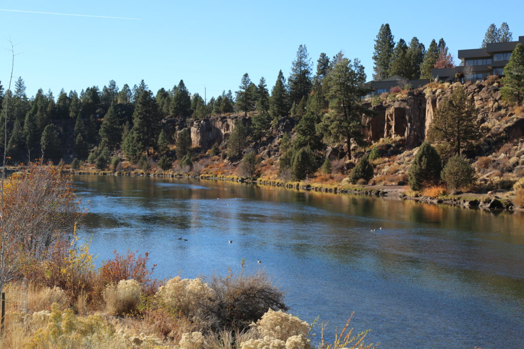
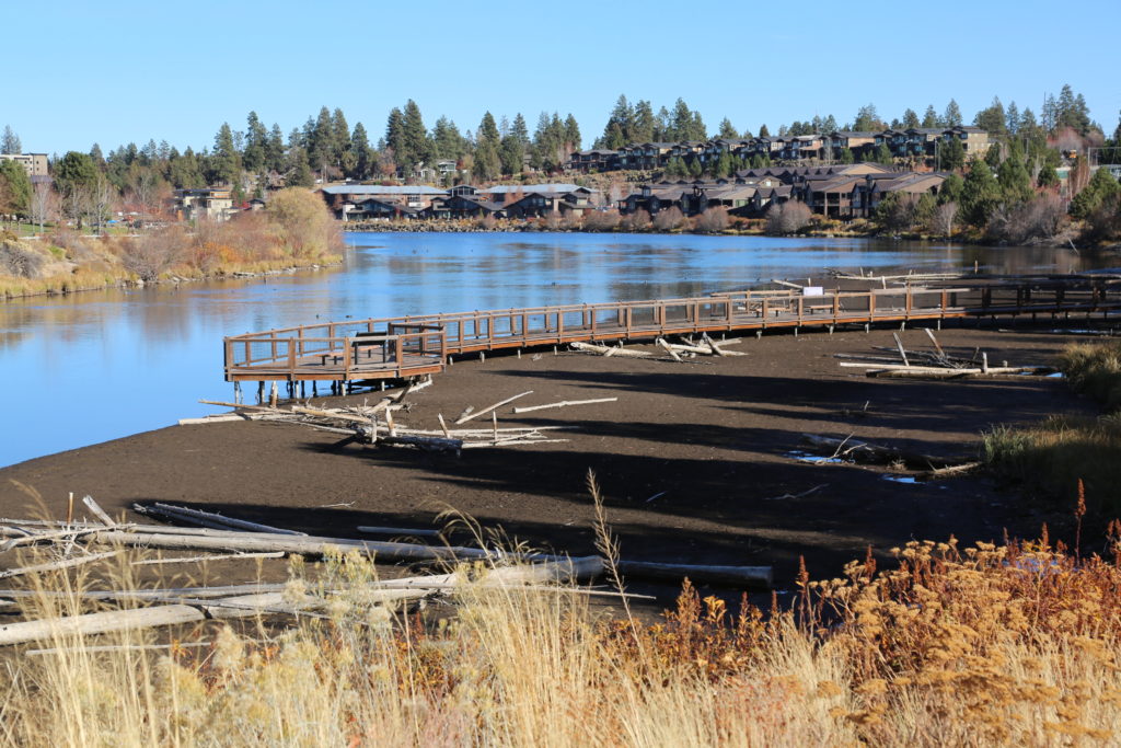
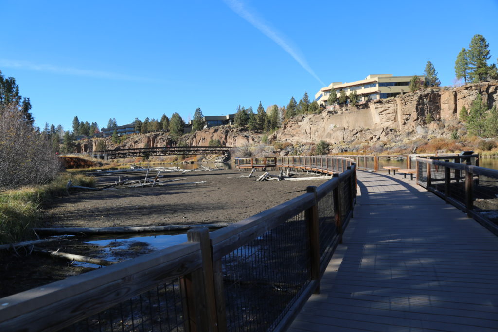
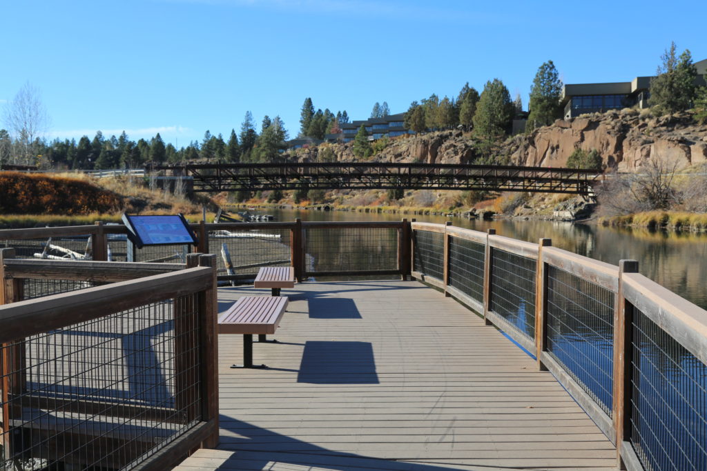
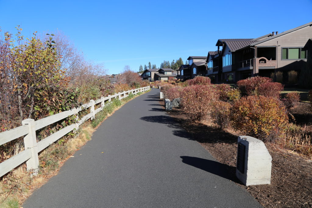
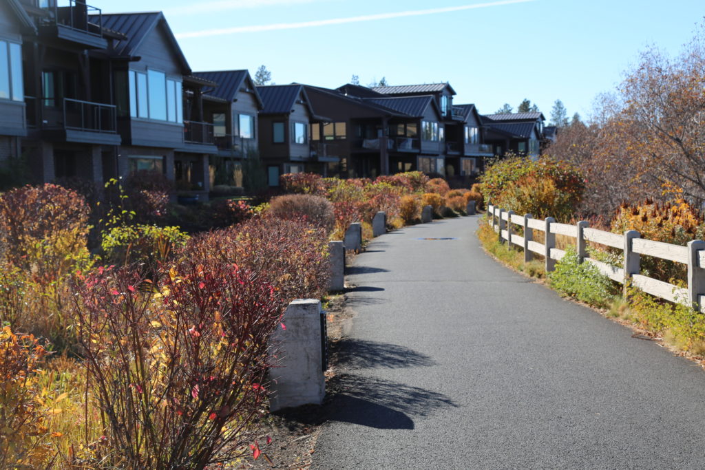
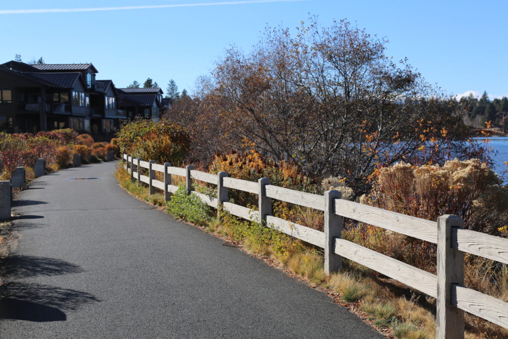
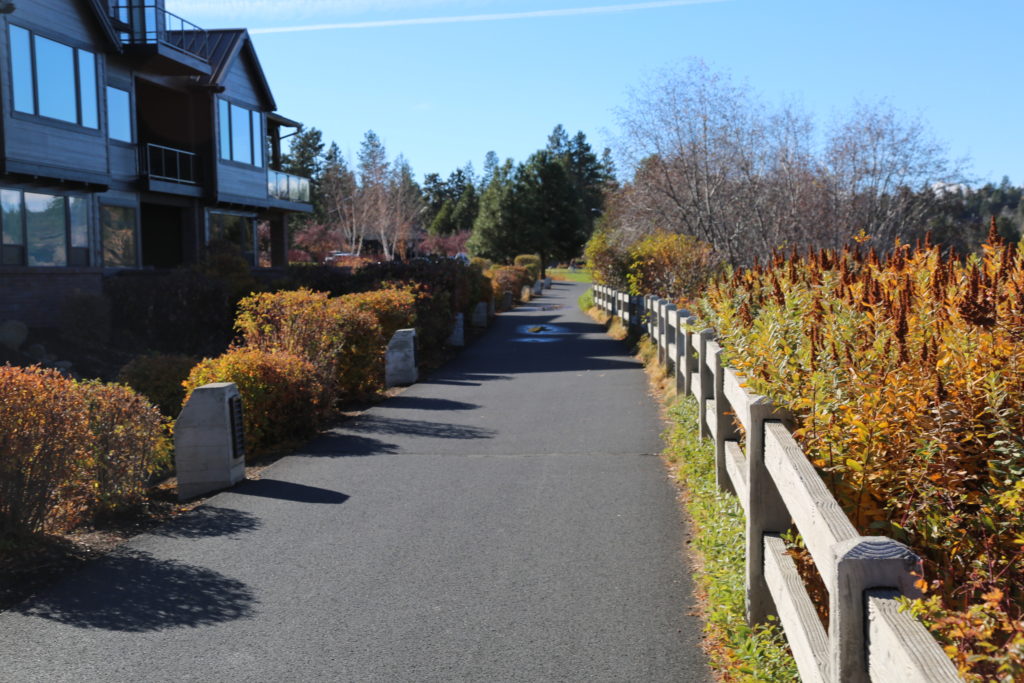
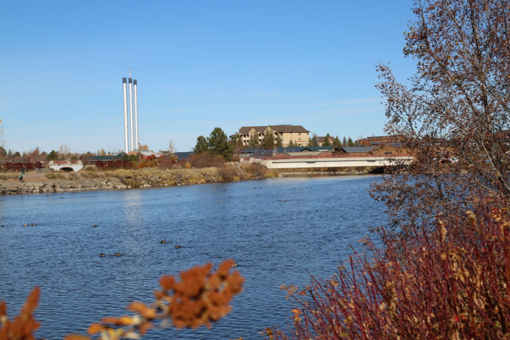
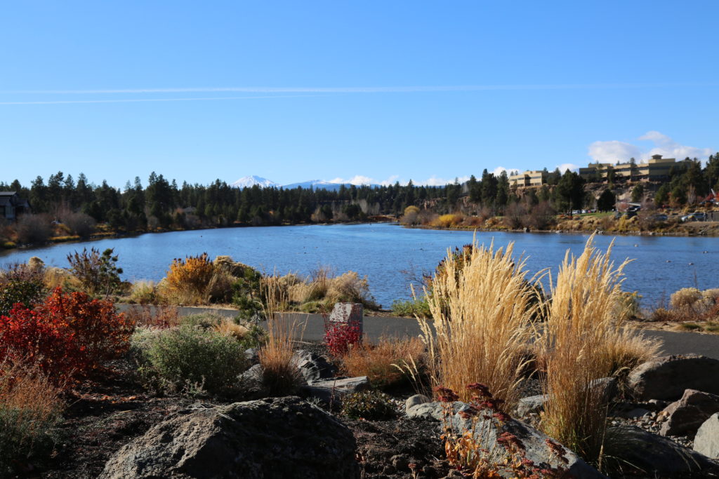
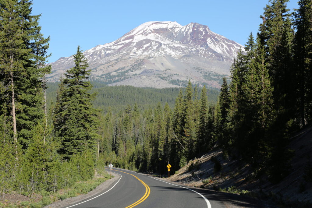
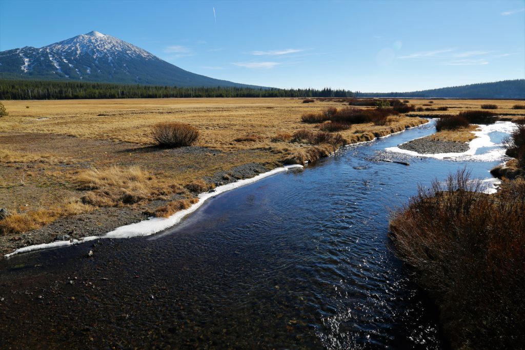
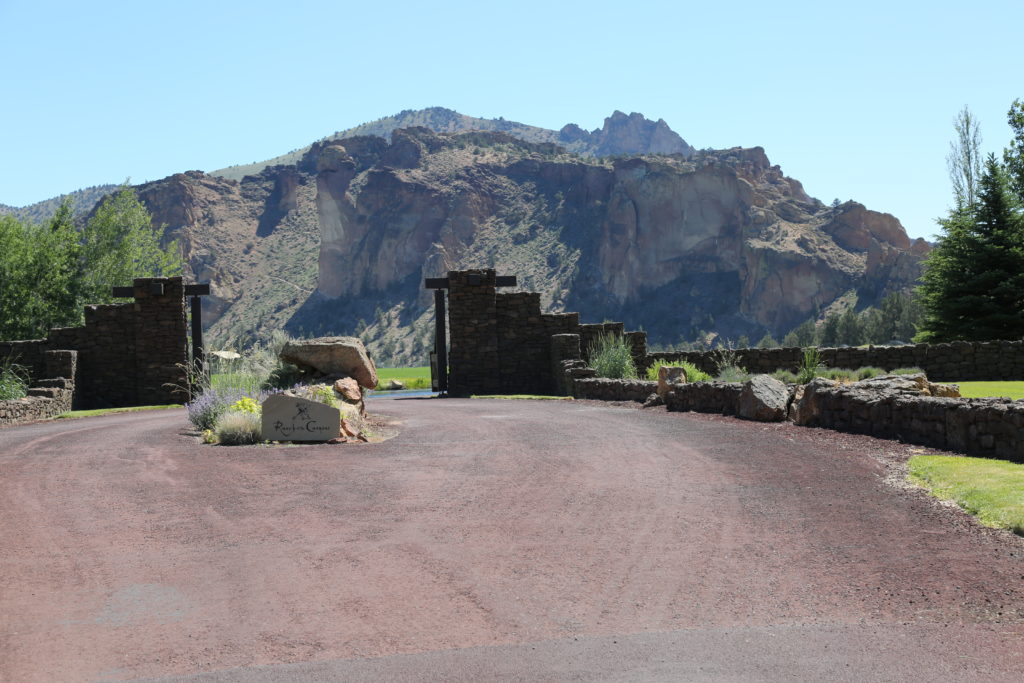
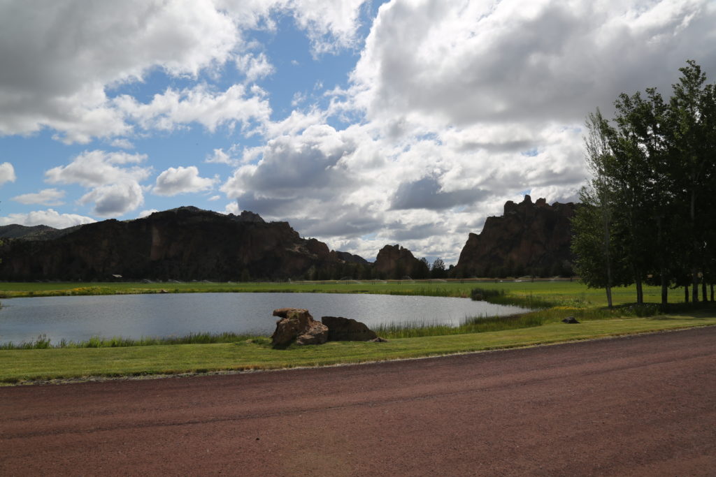
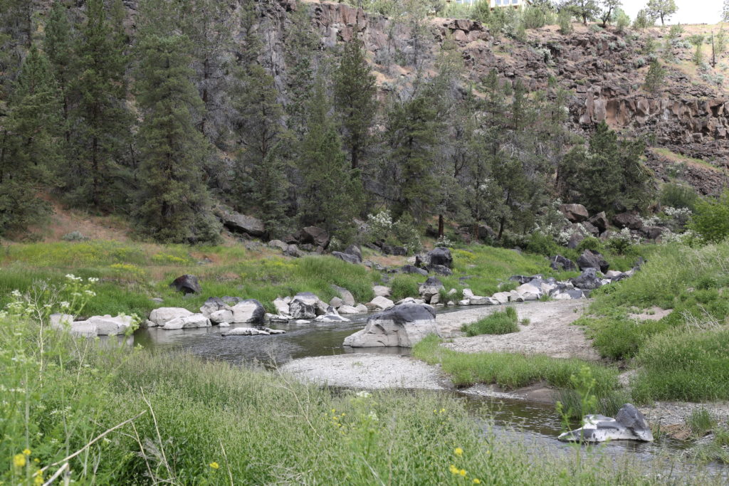
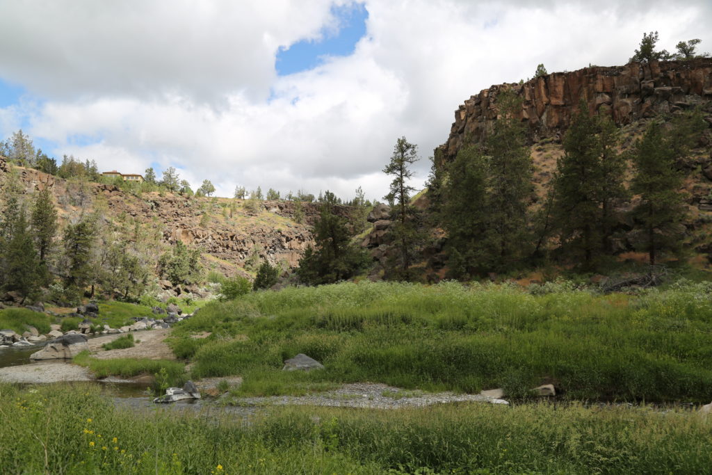
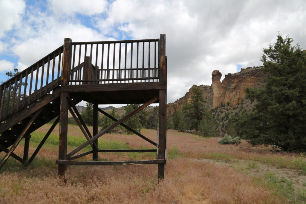
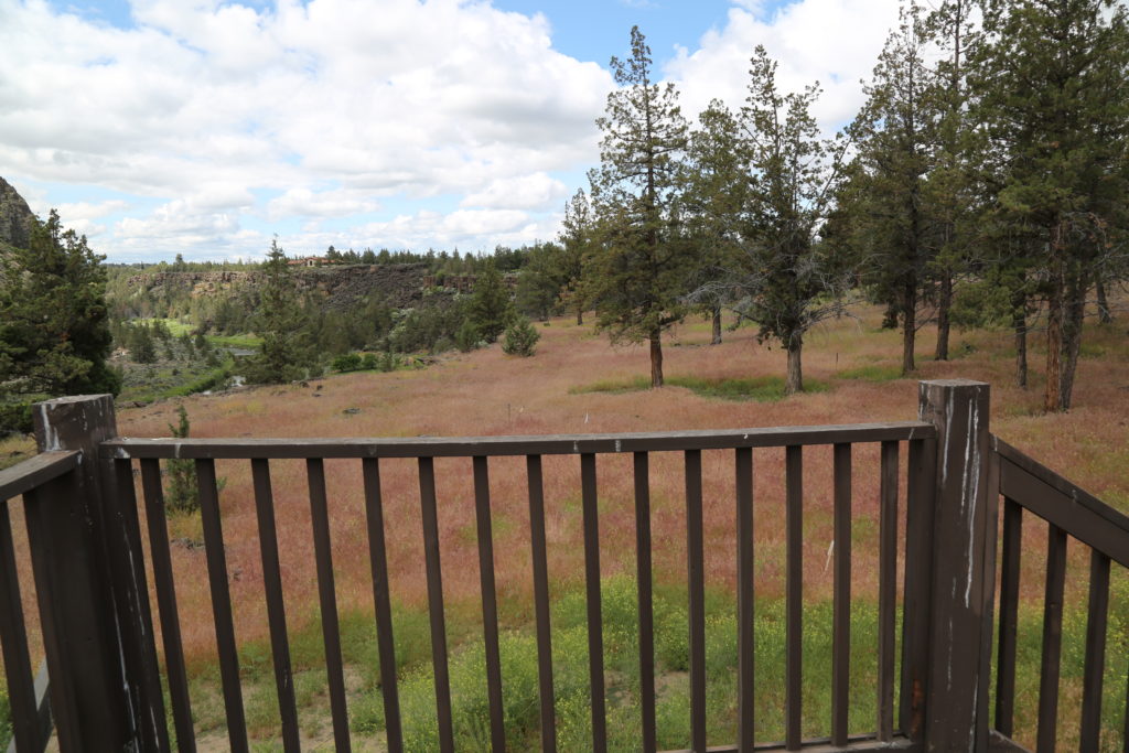
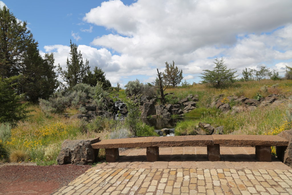
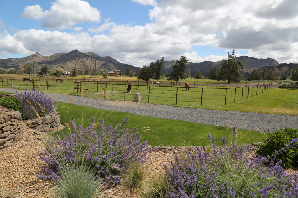
Farewell Bend Park is located in the SW area of Bend.  New homes have been built along some sections of the river and before they reach Farewell Bend itself. The Deschutes River winds its way downstream and has three bridges in the vicinity, in addition to a path out into the river area (images below).

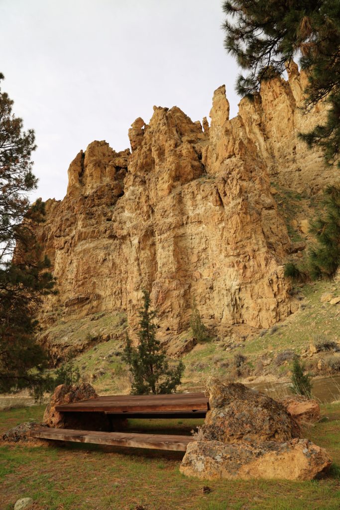
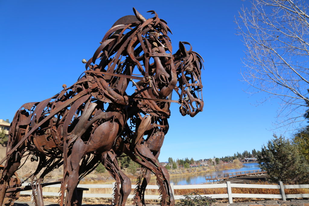
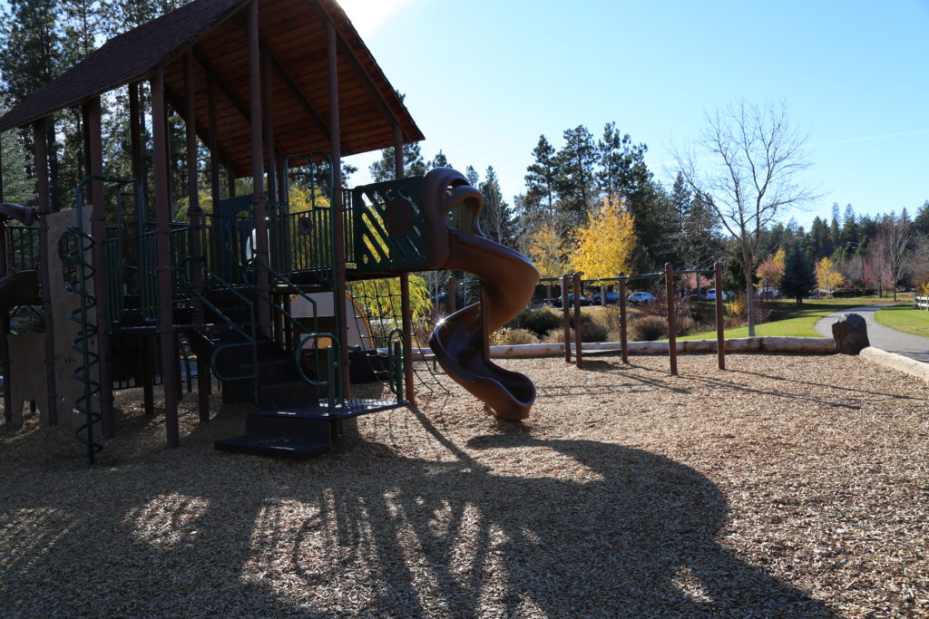
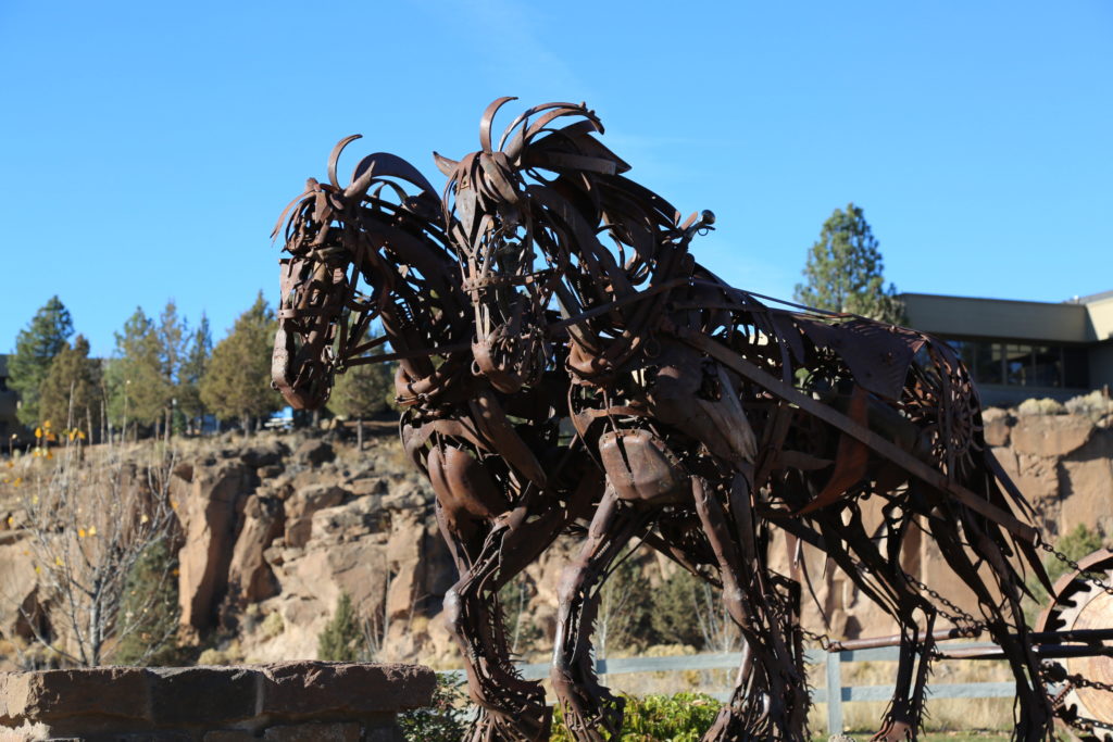
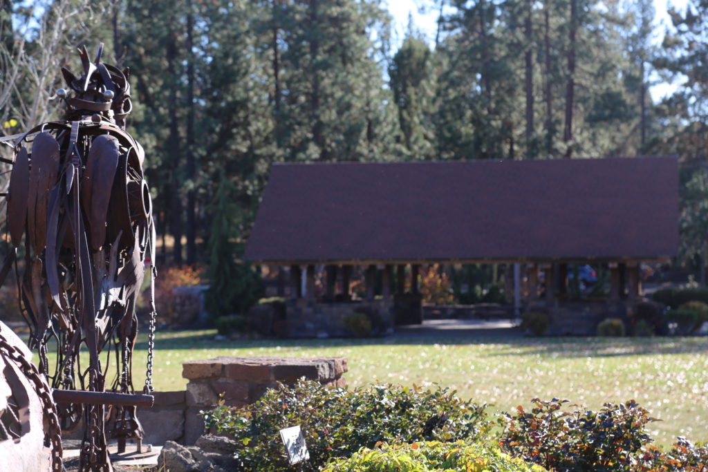
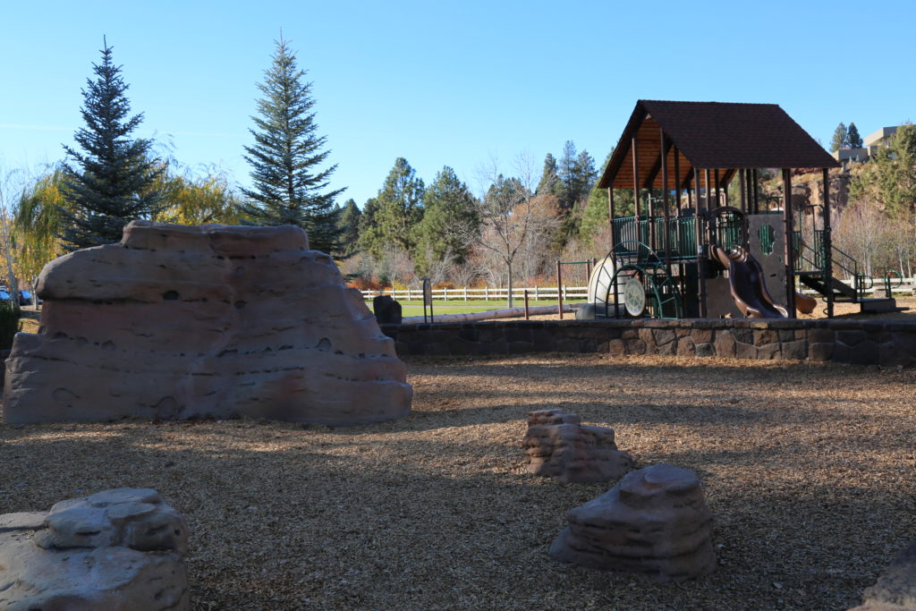
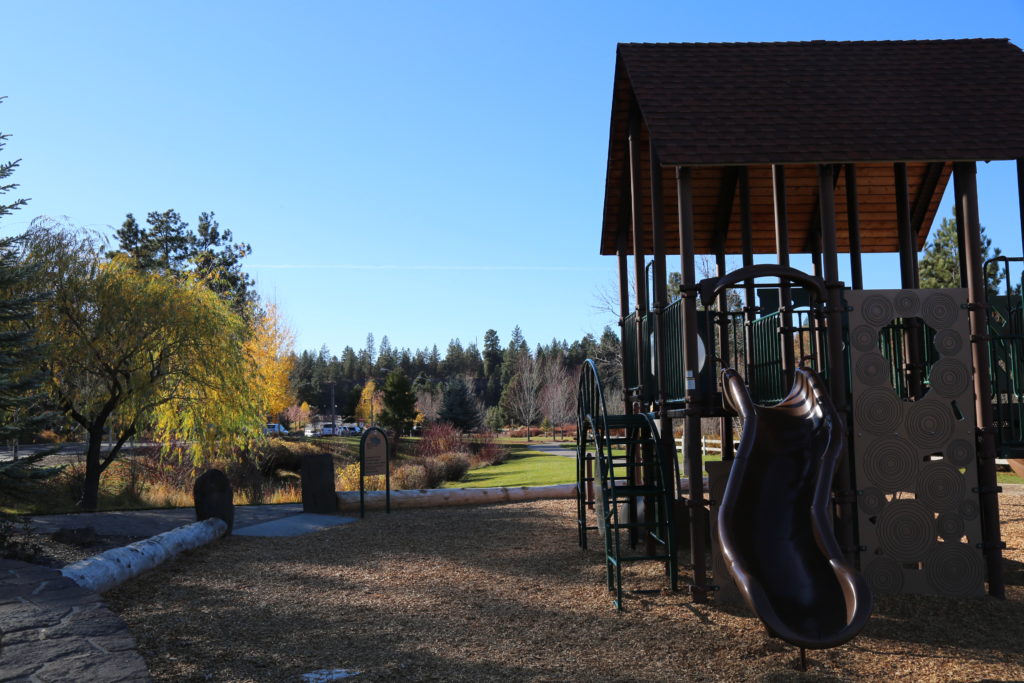
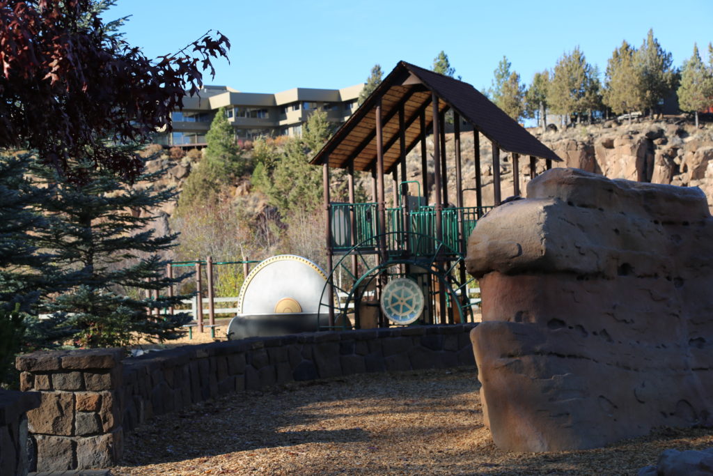
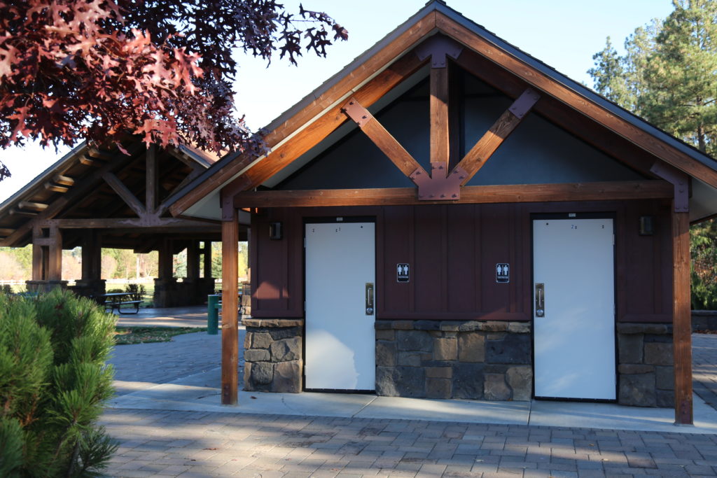
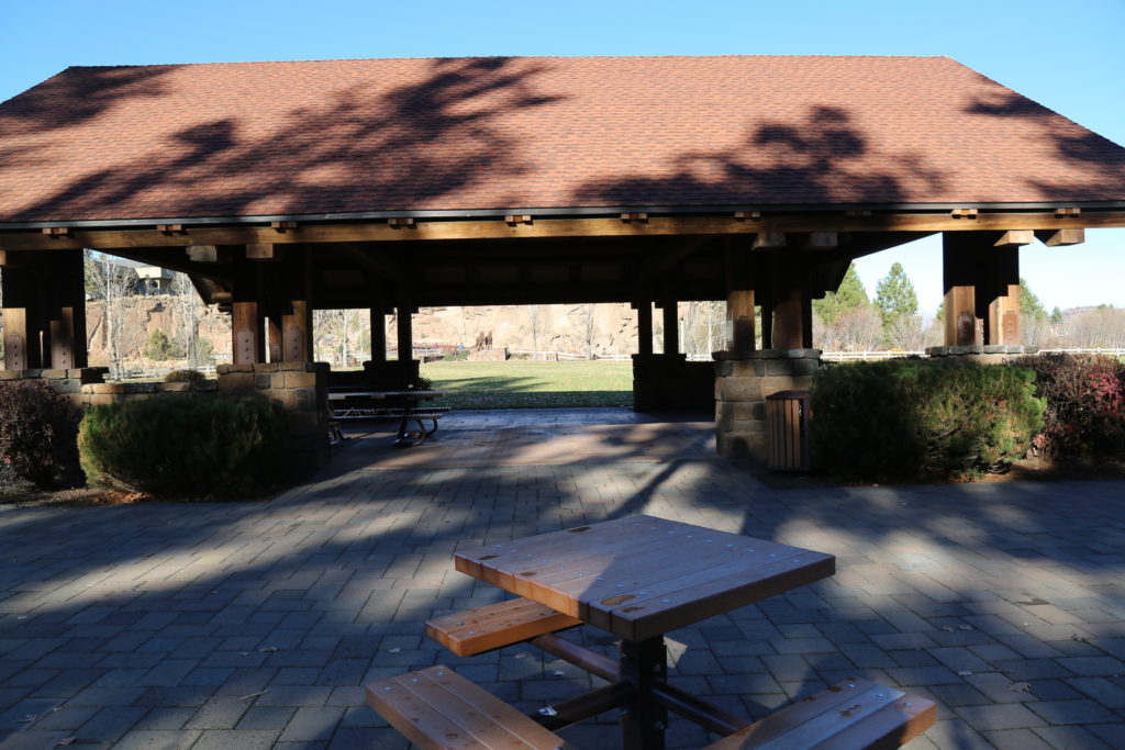
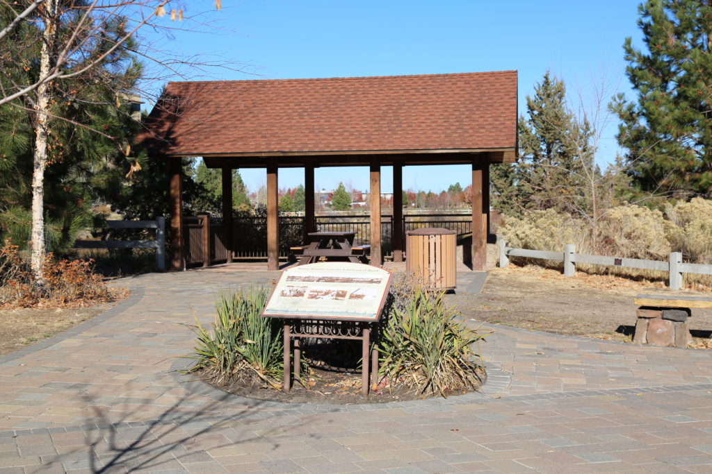
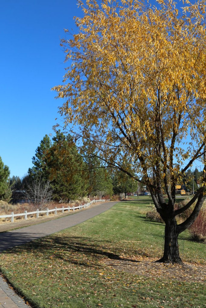
There is plenty of parking within the Old Mill District itself (approval required), and the park covers a large area that includes restrooms, covered seating areas, horse sculptures, bridges, playground and grass.

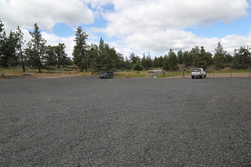
Permits required from Bend Park and Rec.

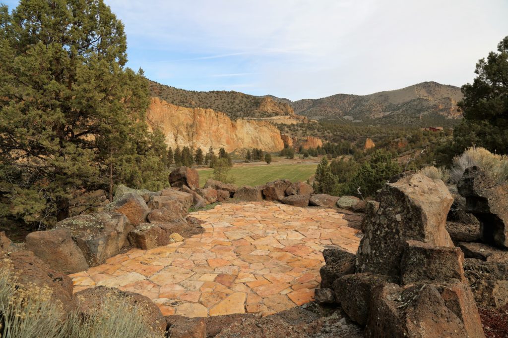
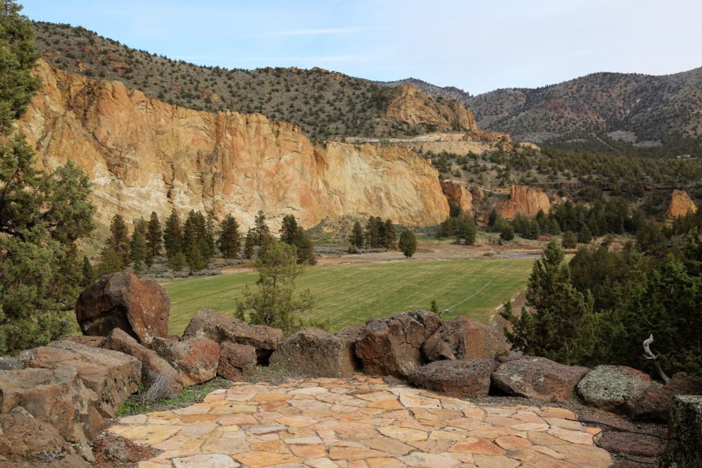
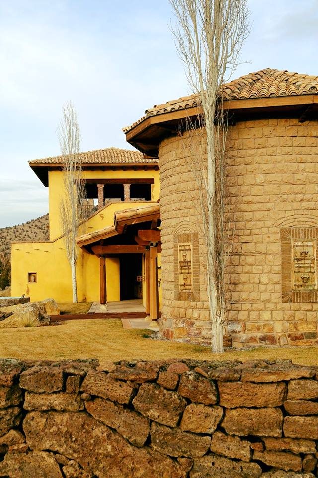
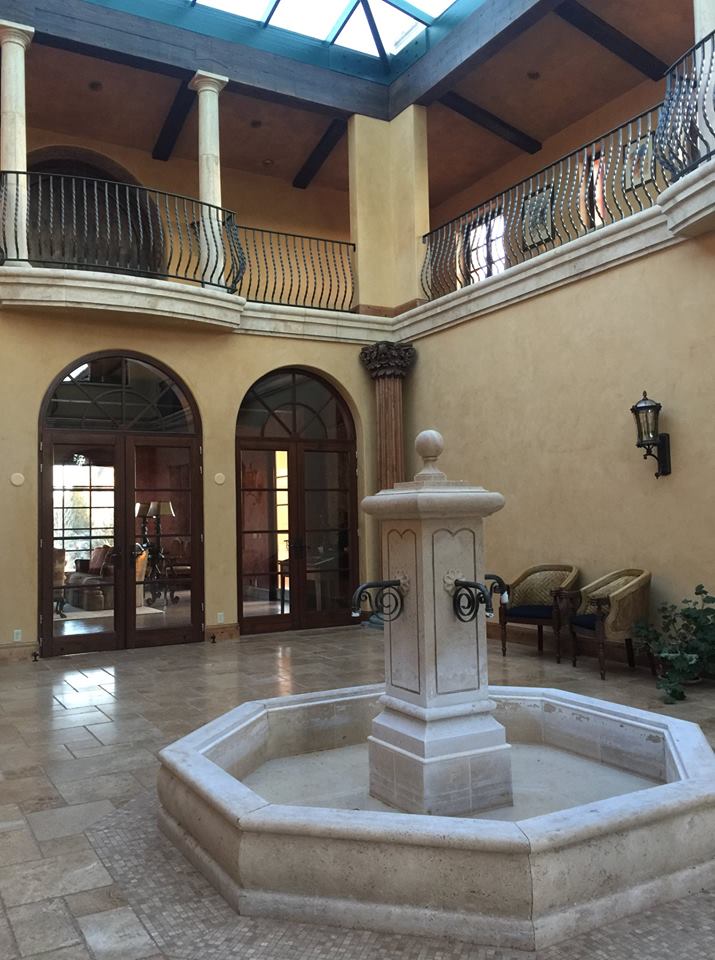
Images taken in November.


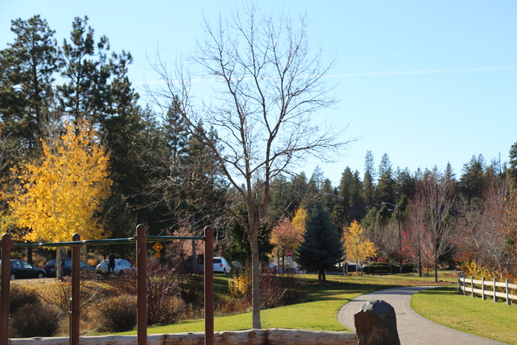
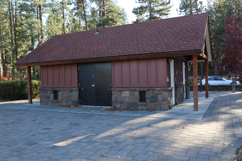
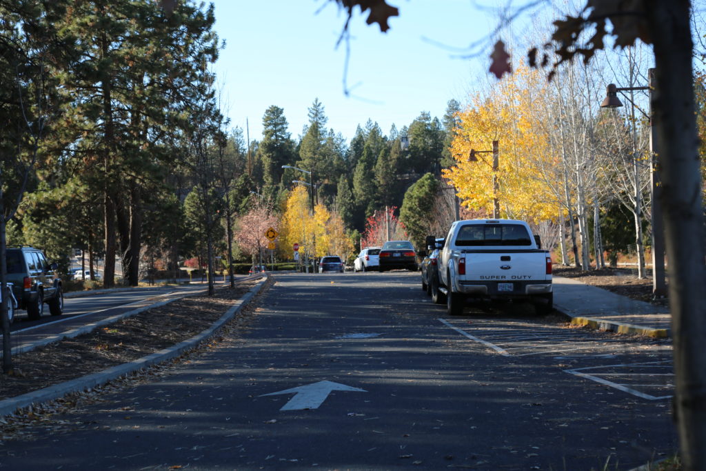
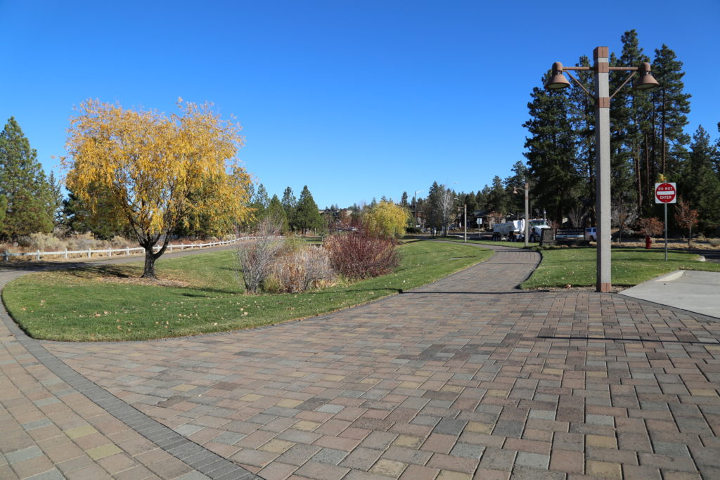
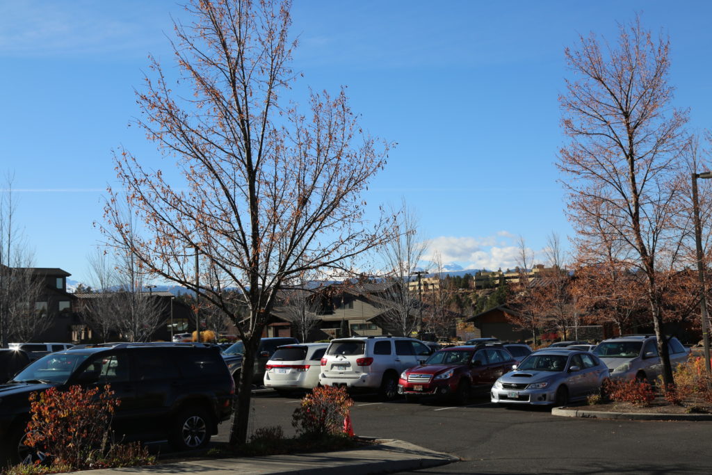
Farewell Bend Park parking area (permit required).
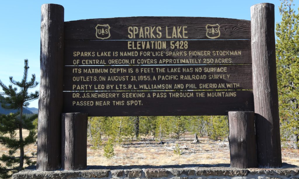
 

Continue Reading

Sparks Lake (late Fall)

Beautiful alpine lake, off the Cascade Lakes Highway, approximately 30 minutes from Bend. 

Multiple islands within the vast lake (250 acres), only accessible by kayak or canoe.  Mt. Bachelor visible in the distance.

Multiple parking areas, in addition to campground (closed in Winter, but could be opened by special permit).

Cascade Lakes Highway entry is closed during Winter months due to large snowfall.  Area accessible by snow mobile.

Permits authorized by Deschutes National Forest in the Summer, and Oregon Dept. of Transportation in the Winter.

Please allow 30 days for permits.


Gravel roads. They can be a bit bumpy.

Continue Reading

Ranch at the Canyons (Terrebonne)

Ranch at the Canyons is a private 1,700 acre residential community along the Crooked River at the base of Smith Rock State Park.
Located in the heart of Central Oregon, the Ranch offers breathtaking views of the towering Cascade Range, the desert canyons of Smith Rock State Park, two miles of the Crooked River and more than a dozen lakes spread throughout the property. In addition to natural beauty, there is also access to the Old Winery Clubhouse and Guest Villa, the Tuscan Stables, and Monkey Face Vineyard.
Excellent alternative to Smith Rock which is rarely available for filming due to wildlife restrictions and overuse.

There is plenty of space for parking on site, and a stable for tech and catering (to be brought on site).

Accommodation is available nearby in Redmond, and also at Eagle Crest Resort.

Location fee payable to the Property.  They would prefer as much advance notice as possible.

Images taken June around 2pm.  Best times to shoot are sunrise and sunset.

Ranch at the Canyons


Crooked River 

Old Homestead opposite the property

Iconic Monkey Face of Smith Rock


View of Smith Rock across the Crooked River

Dining table.

Entrance to the development


Ranch at the Canyons accommodation (primarily used for weddings)


Continue Reading

Black Butte Ranch View (Winter)

Black Butte Ranch is  private resort community in Deschutes County. It is located in the Cascade Range, 8 miles northwest of Sisters. The population was 366 at the 2010 census. 
 
Elevation: 3,350′
Weather: 52°F (11°C), Wind W at 6 mph (10 km/h), 76% Humidity
Population: 366 (2010)
Area: 8.22 mi² (8.2 mi² Land / 13 acres Water)
 
Permit required.
 
Parking on site.
Private Fire Station on site.

Continue Reading

Cove Palisades State Park and Lake Billy Chinook

The Cove Palisades State Park is a state park in eastern Jefferson County,  near Culver and Madras  and is administered by the Oregon Parks and Recreation Department.   Roads wind around Lake Billy Chinook which is a great alternative to Horseshoe Bend in Lake Powell.  Towering canyons serve as a backdrop to any shoot.
 
The park showcases winding roads for car commercials, long distance running and recreational activities.
 
Address: The Cove Palisades State Park, Culver, OR 97734
 
Special use permit required for filming from the State Park office.  Requires 21 days advance notice. 
Parking available in pull outs and larger areas.
 
Limited restroom facilities.
Images taken in May, 10am


Cove Palisades State Park


Continue Reading