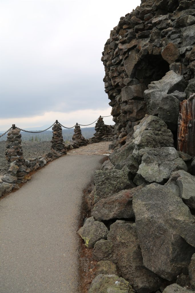
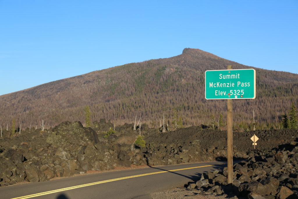
Located in the Cascade Mountain Ranges at 5,187 feet, this mountain observatory offers panoramic views across 65 square miles of black lava rock that looks so much like a moonscape that in 1964, NASA conducted drills with astronauts as they prepared to travel to the moon. Completed in 1935 by the Civilian Conservation Corps (CCC), the observatory was named in memory of Dee Wright, the crew’s foreman who passed away the year before.
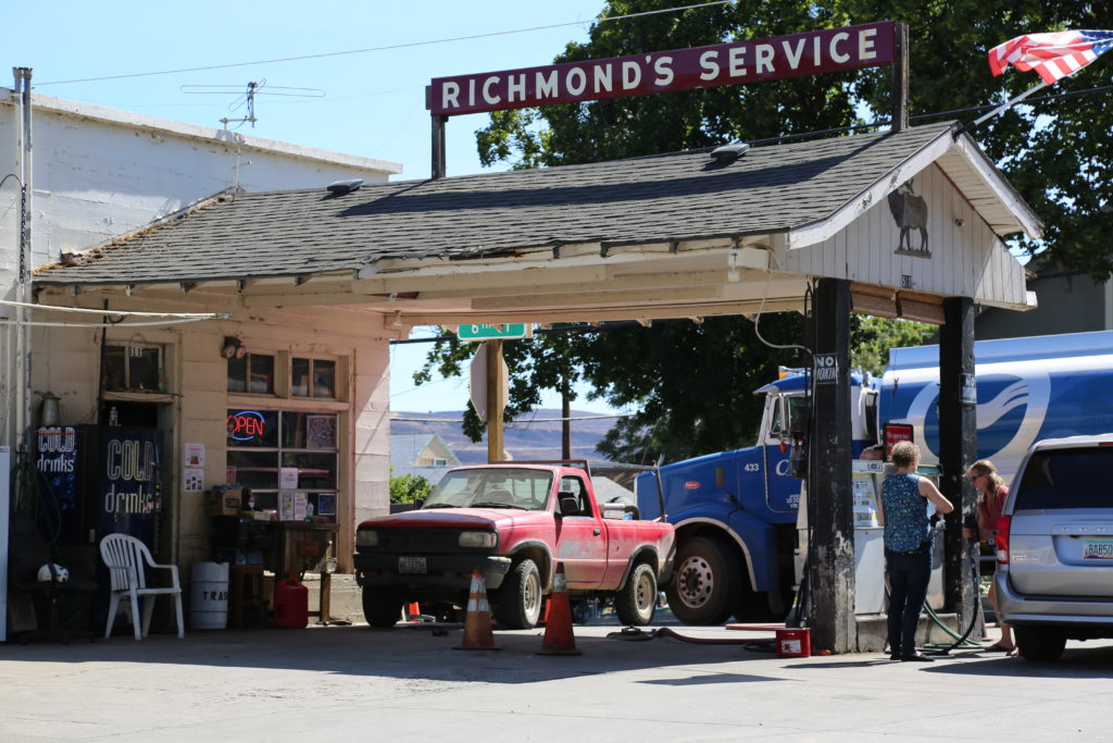
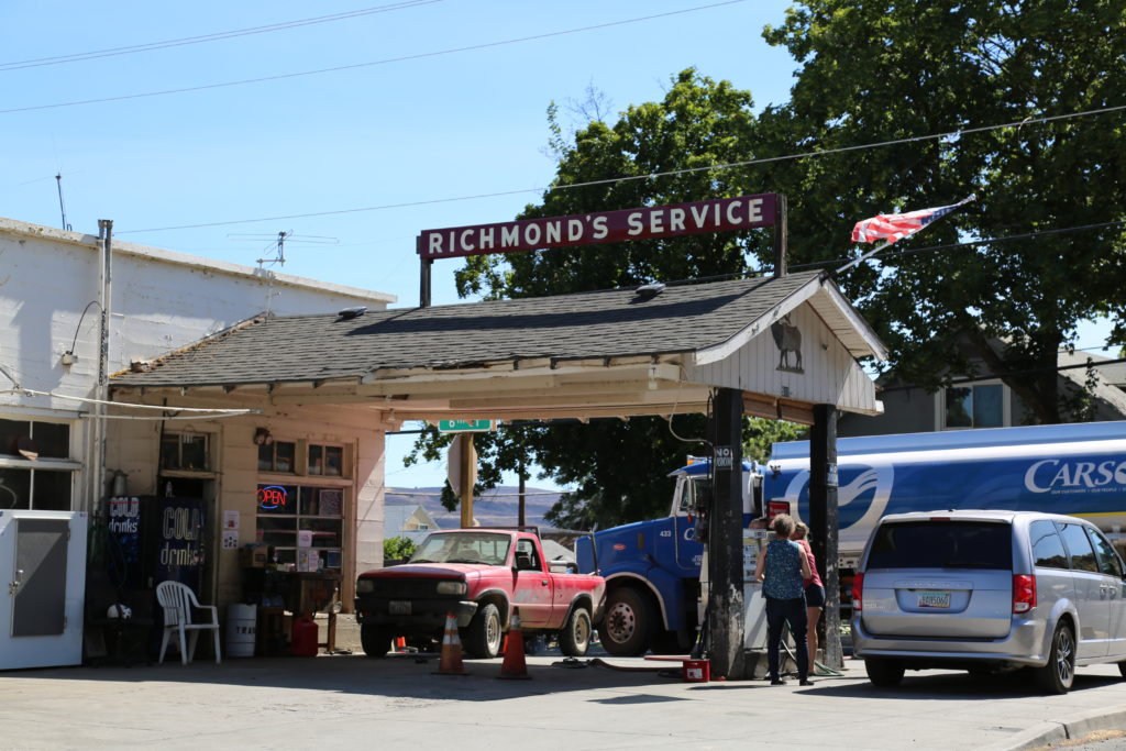
This is a unique location for a production wanting something different. The area is particularly suited , for a mountain biking shoot due to the pnderosa covered windy road up to the Observatory from Sisters. The area also has burned out sections from recent forest fires.
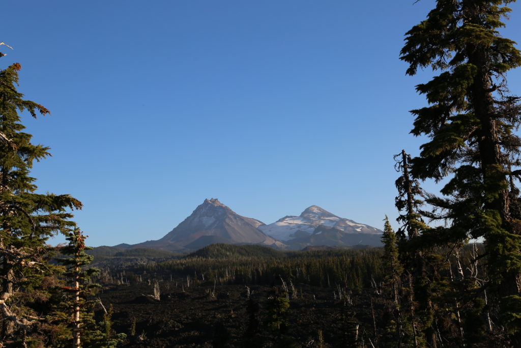
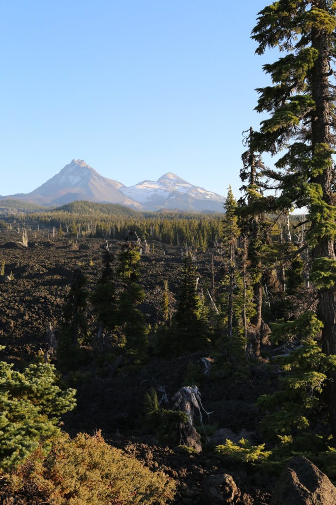
On a clear day, you can view Mt. Washington, Mt. Jefferson, the South, North, and Middle Sister, and even see Mt. Hood, 78.5 miles to the north. The observatory provides stunning backdrops for your shoot. There’s parking and restroom on site. The Observatory is located approximately 20 minutes from the town of Sisters.

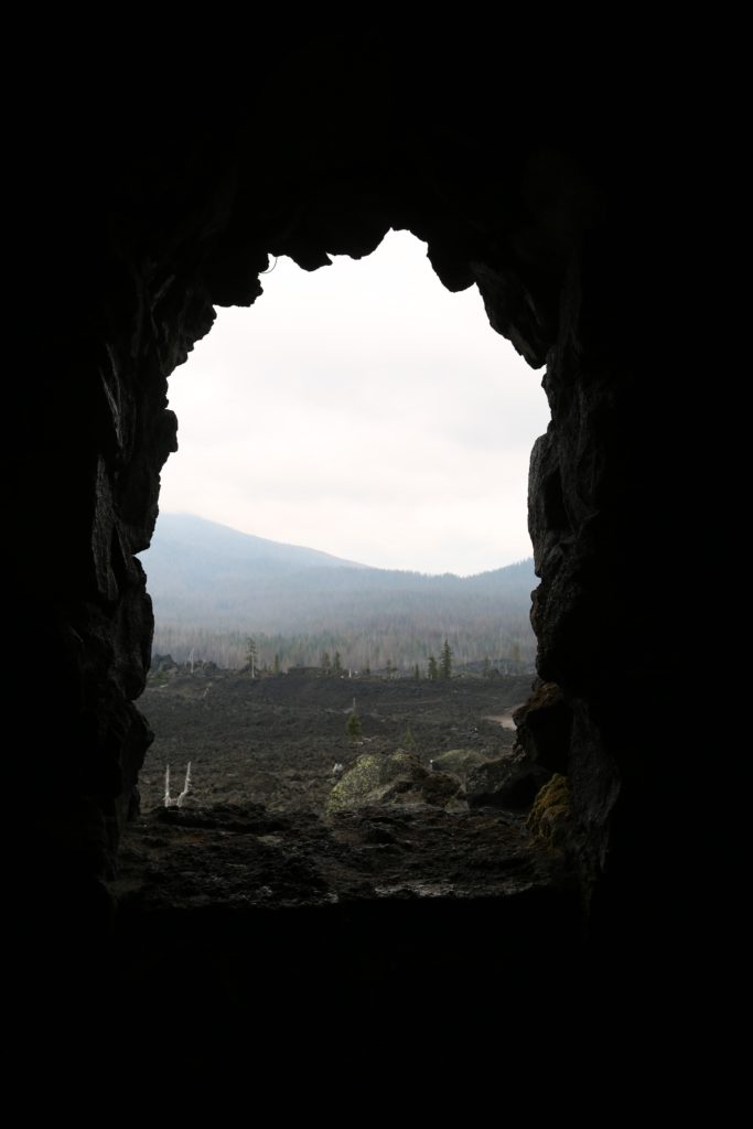


Dee Wright Observatory
Dee Wright Observatory