Shevlin Park: Forest views

Whenever someone asks us for locations with trees, I laugh a little inside as we have millions of trees, of varying kinds (ponderosas, junipers, aspens and lodgepole pine).  Ponderosas are gorgeous and create really stunning locations due to the striations in their bark.  These images were taken between 2-4pm in mid-February, in Shevlin Park.  There is a road that can be utilized by film crew towards the southern side of the park with a Forest service restroom, and a large parking area.  Permits are required through Bend Park and Rec, at least 30 days in advance.

Continue Reading

Crescent Lake and Campground

Crescent Lake is a natural lake on the eastern side of the Cascade Range in the northwest corner of Klamath County, not far from the town of LaPine in Central Oregon. 
 
There is a  campground located on a small hill overlooking Crescent Lake. Yurts are available year around and could be used for a small production office (Note: no electricity and only a small fire place). Crescent Lake Resort is just across the dam from the campground and offers a number of services including food, camping, fishing supplies, and boat rentals for shoots.
 
Located of Hwy 58, and Forest Road 60.
 
Area7.105 mi²
Average depth124 ft (38 m)
Max. depth265 ft (81 m)
Shore length112.4 mi (20.0 km)


Continue Reading

Kimberly

Kimberly is located at the intersection of Oregon Route 19 and 402 and the confluence of the John Day and the North Fork John Day rivers. The John Day River Trading Post is located at the intersection.

County permits required for any filming.


Continue Reading

Burnt Ranch Road (Painted Hills)

Burnt Ranch Road (also known as Bridge Creek Road)  leads from the Ochoco Highway in Mitchell to the Painted Hills Overlook (part of the John Day National Monument/Painted Hills division). The road itself is partial monument land, part BLM, so care must be taken with permit applications.

The road itself is a stunning drive surrounded by geological fossil formations on one side, and grasses and farm land on the other. It also winds alongside Bridge Creek.

BLM permit applications require 60 days advance notice through BLM Prineville.

John Day National Monument should be done at least 30 days in advance.

Nearest accommodation and services are in Mitchell (limited/10-15 minutes away), and wider availability in Prineville (1 hour via Hwy 26).


Continue Reading

Big Summit Prairie

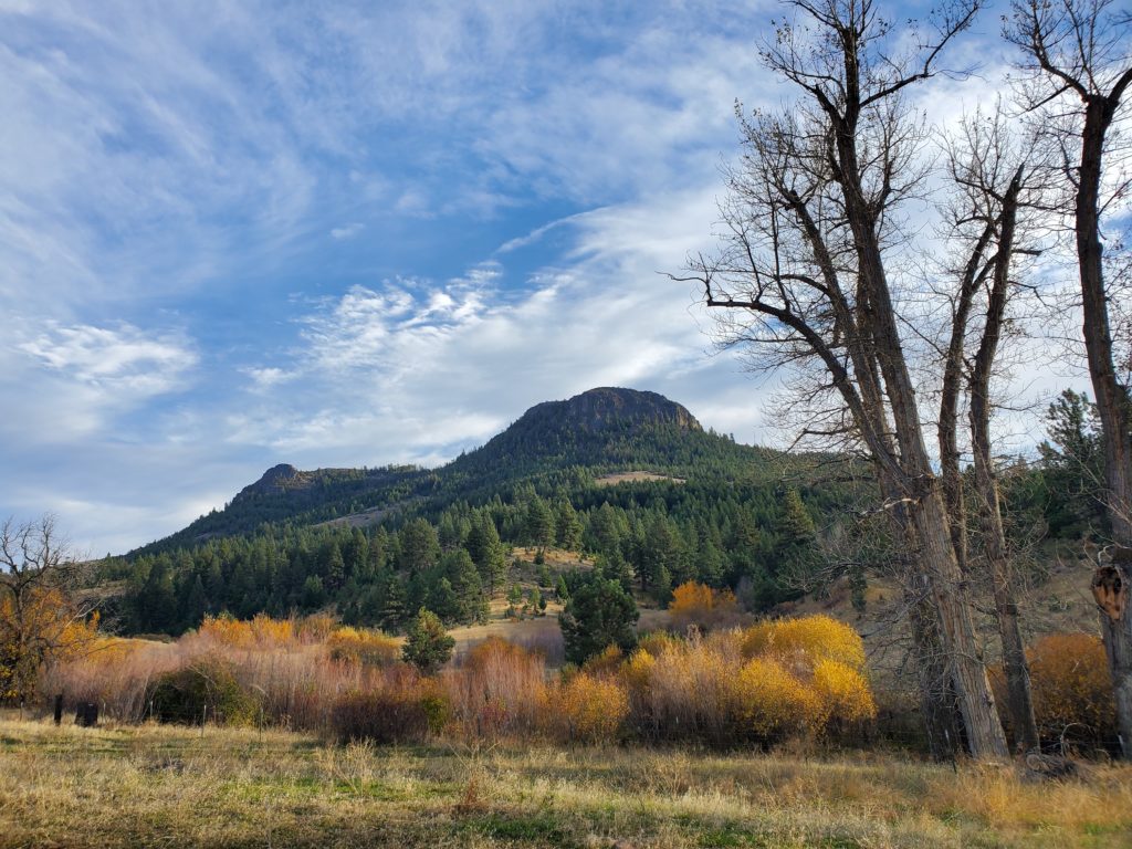
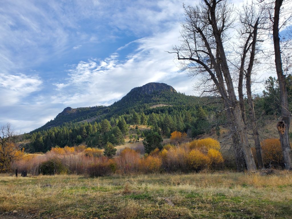
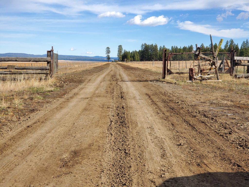
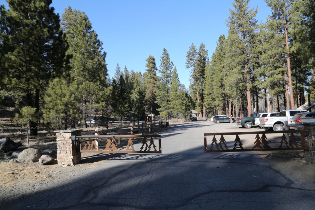
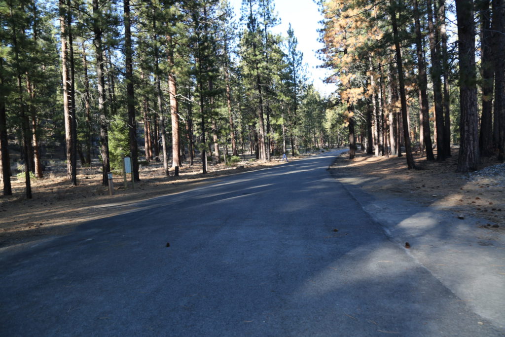
Located in the heart of the Ochoco Mountains, approximately 30 minutes from Prineville (accommodation and services). Privately owned, the Prairie is surrounded by U.S. Forest Service and Bureau of Land Management land and is easily accessible from Prineville (thirty miles to the west) and U.S. 26 (ten miles to the northwest). According to historian Steve Lent, Big Summit Prairie received its name because of its size, which is larger than Little Summit Prairie, a smaller area twelve miles to the east. Both areas are at the summit of the Ochoco Mountains.

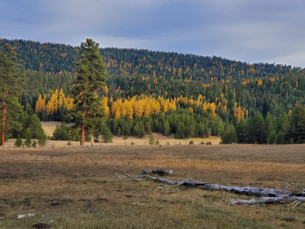
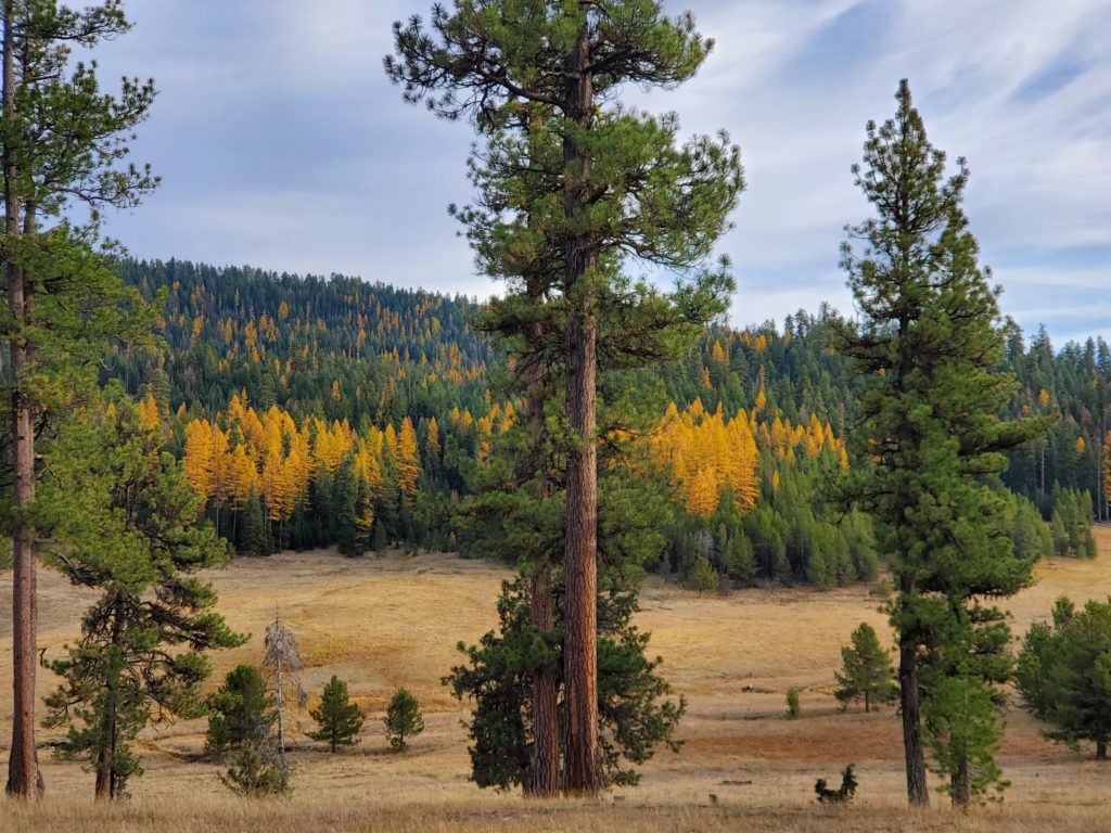
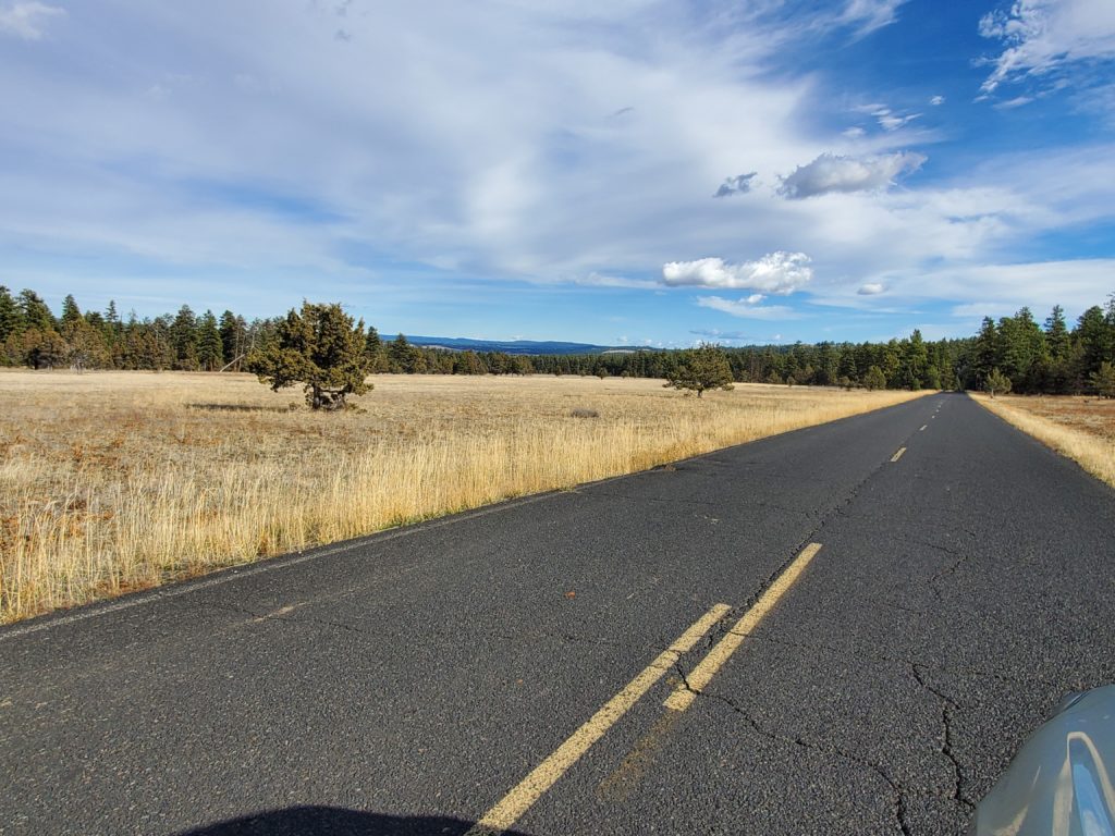
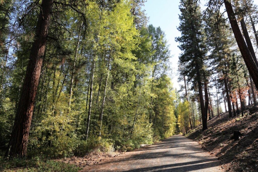
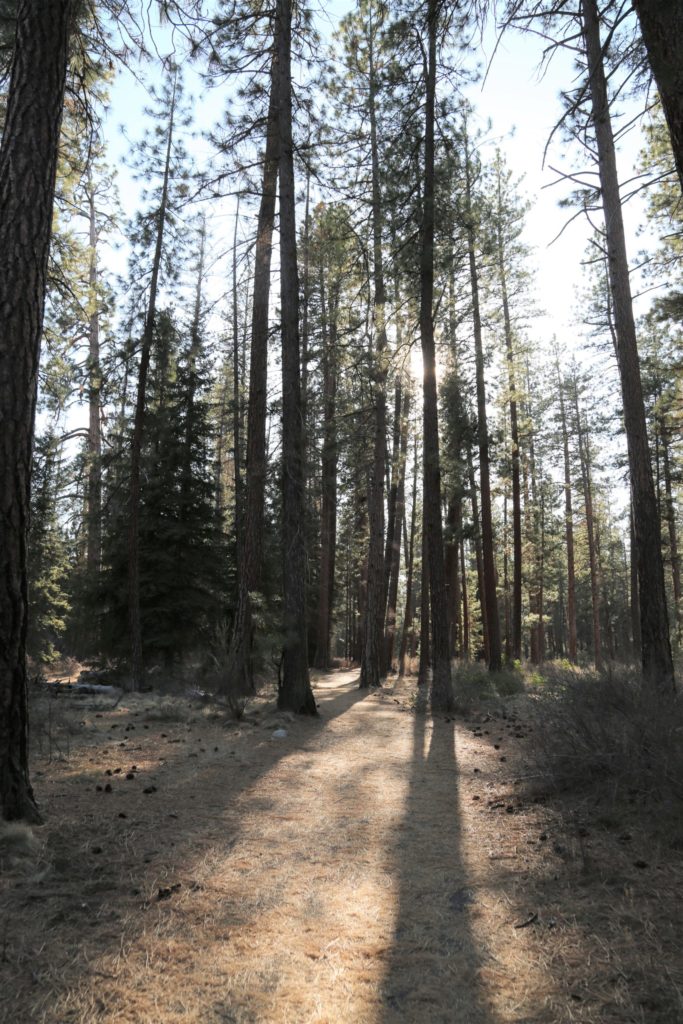
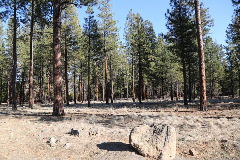
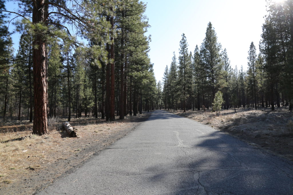
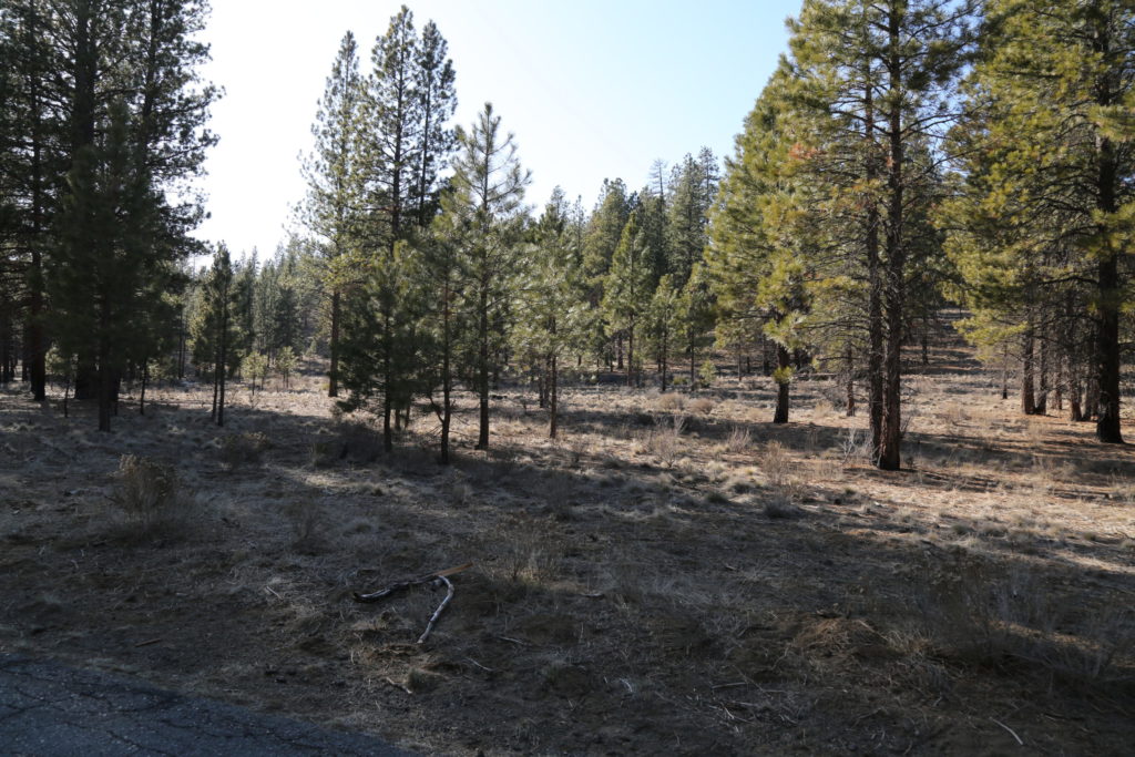
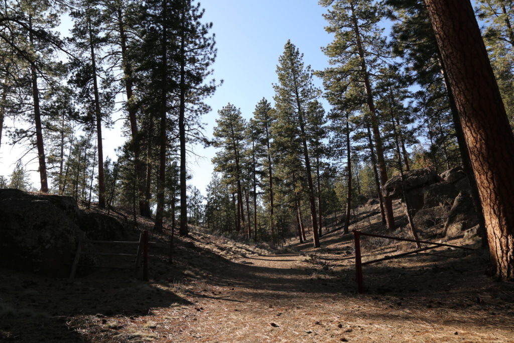
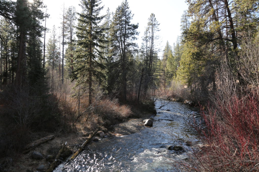
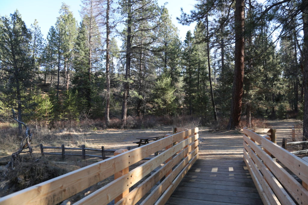
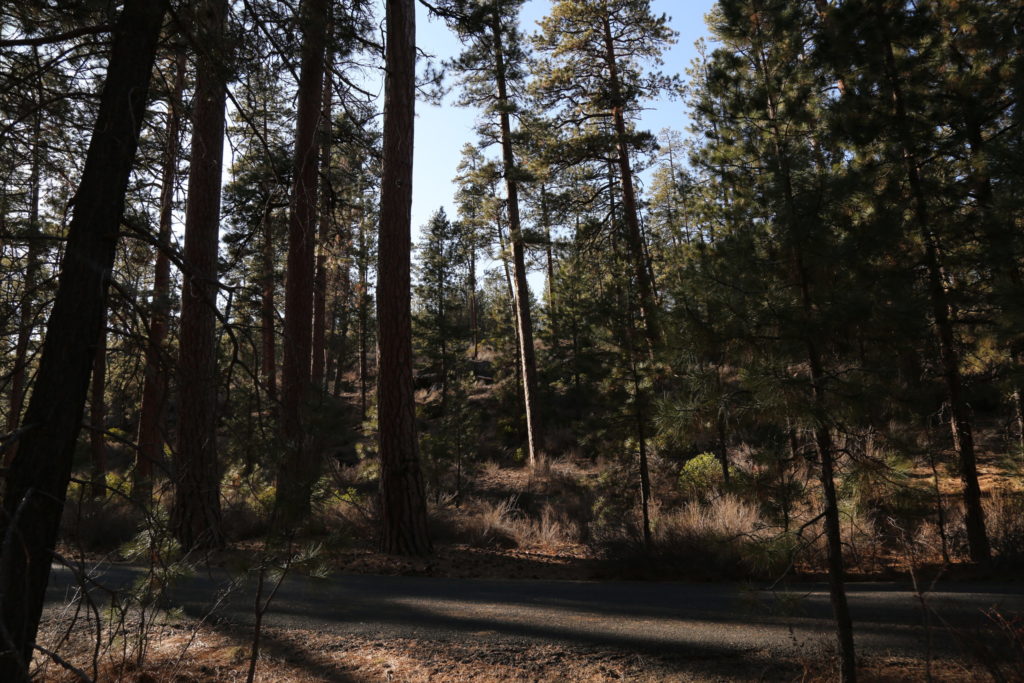
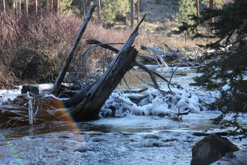
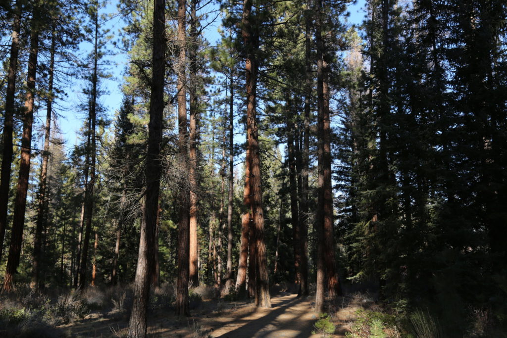
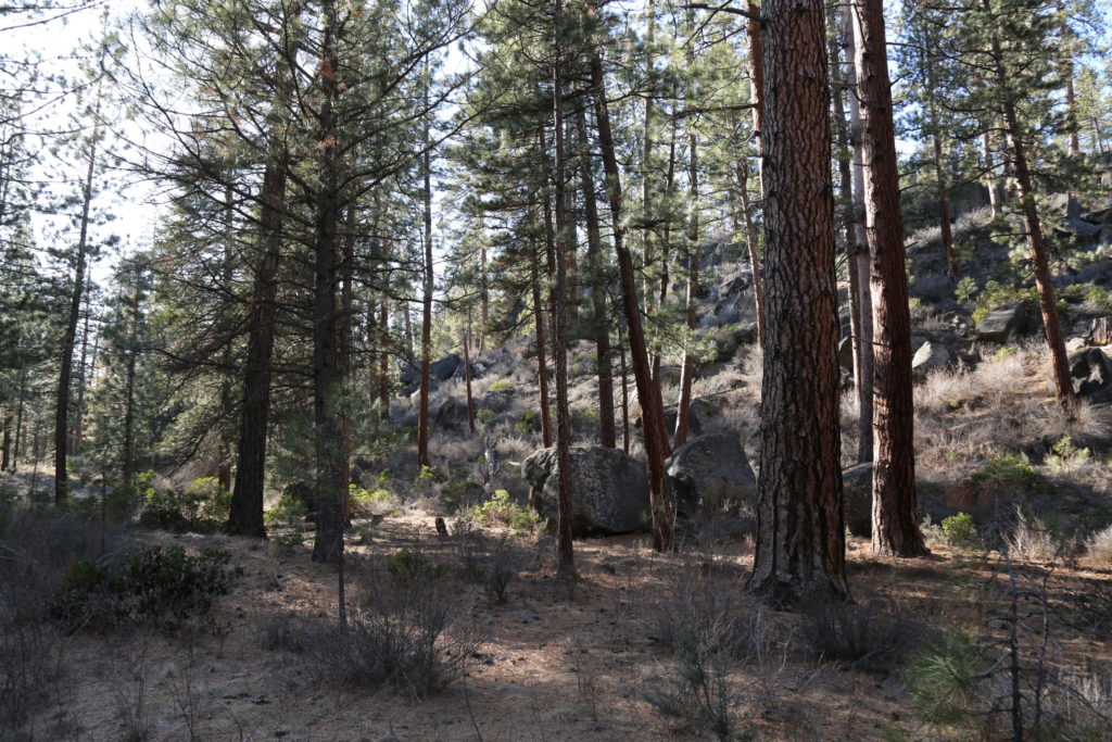
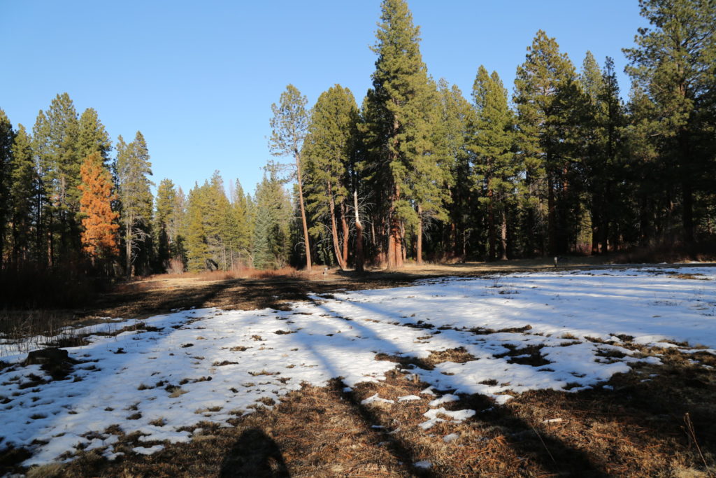
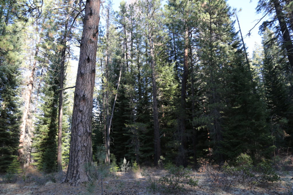
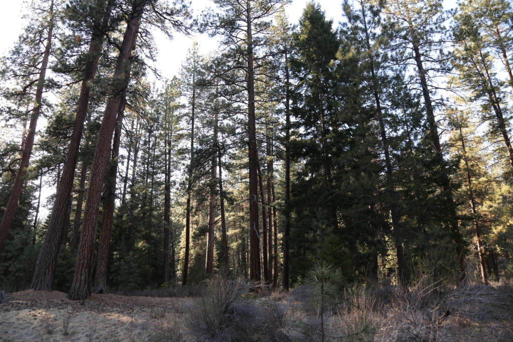
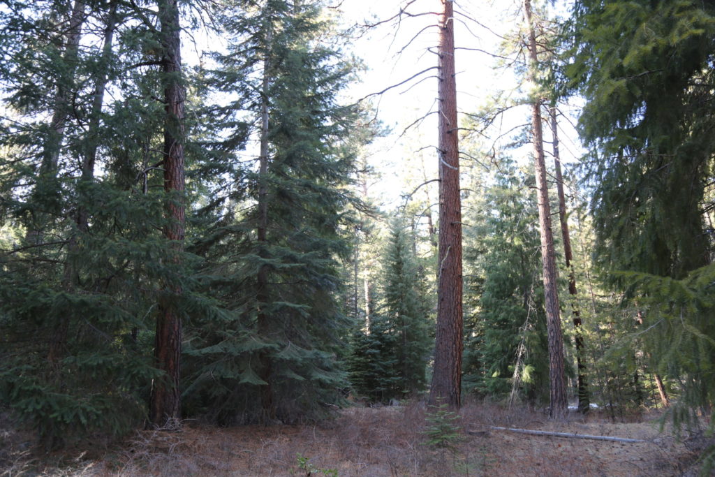
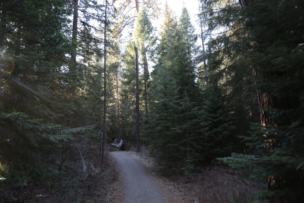
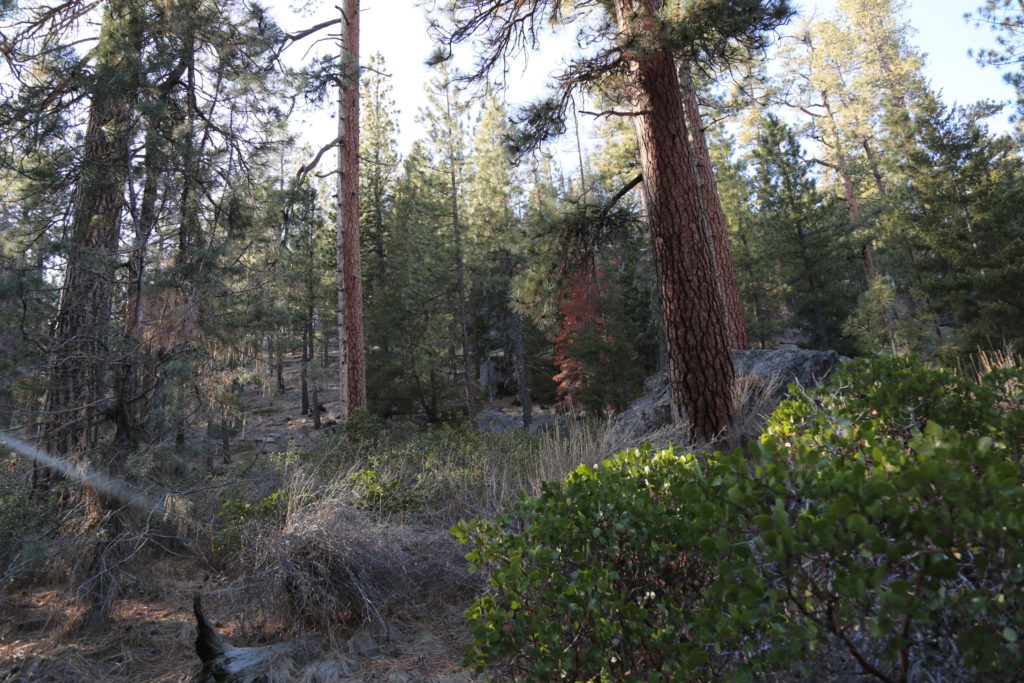
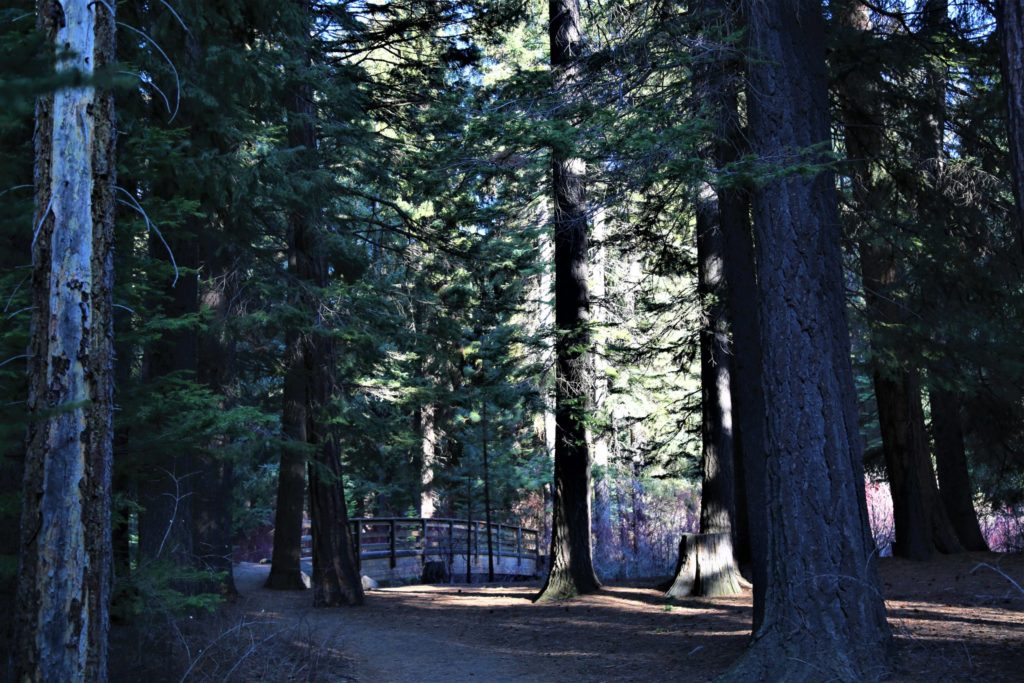
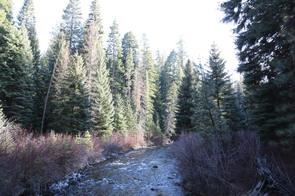
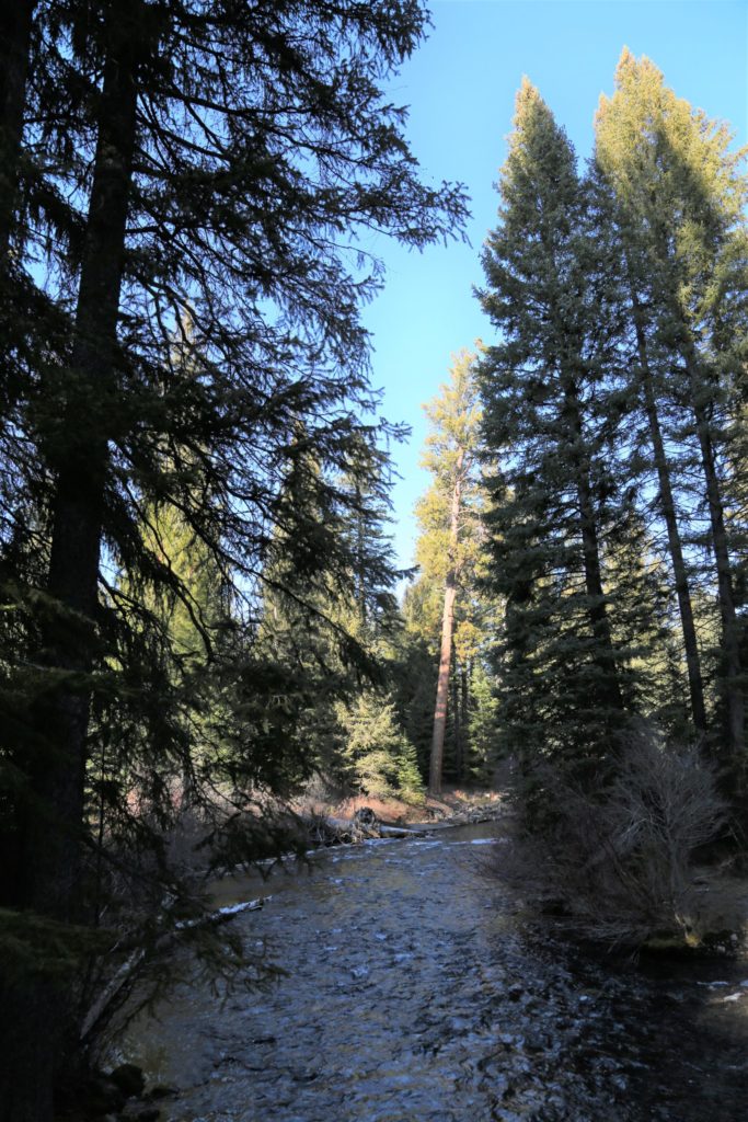
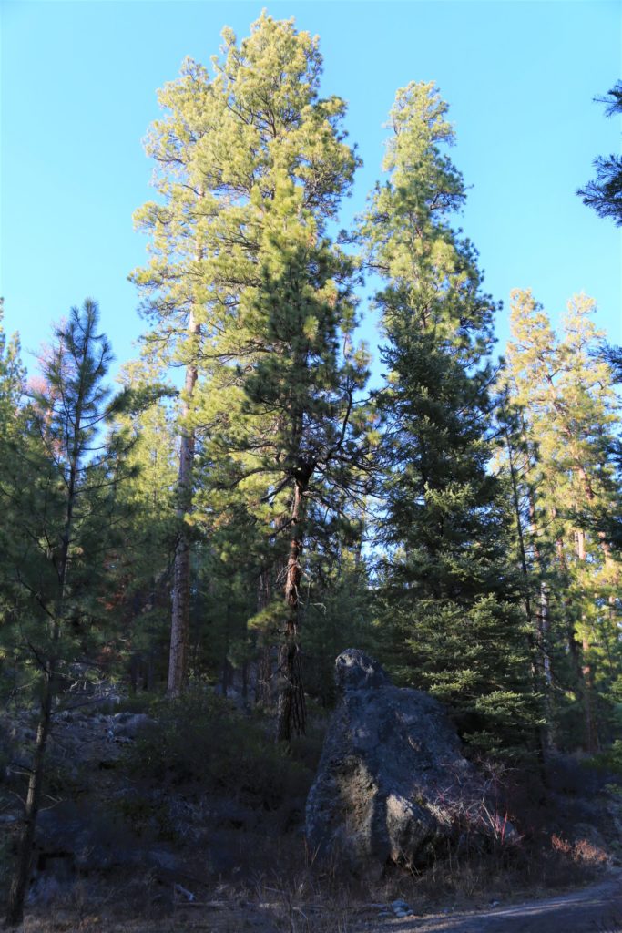
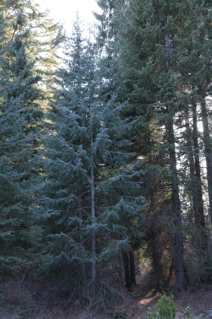
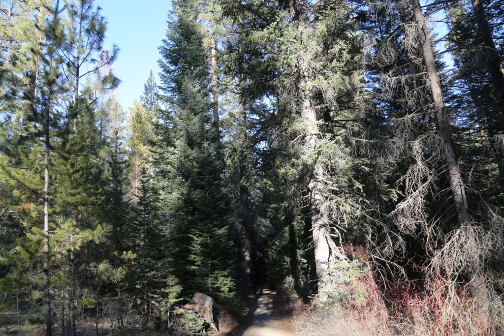
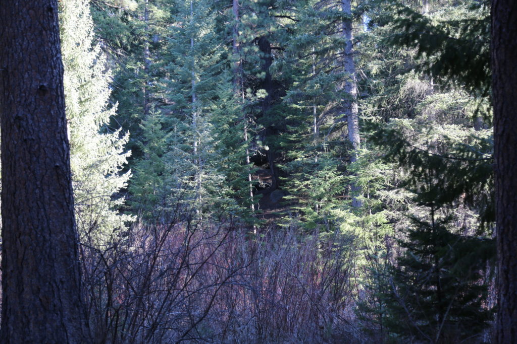
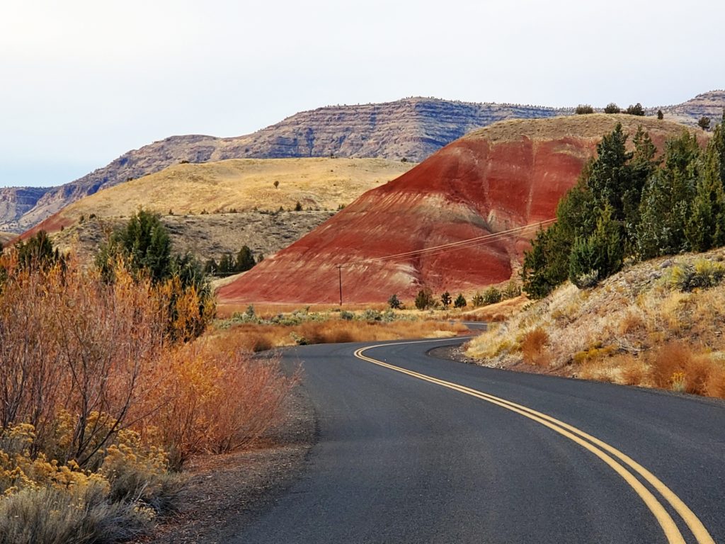
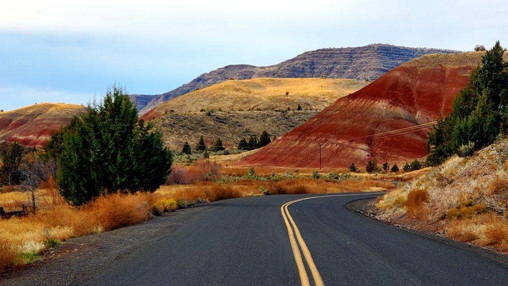
Big Summit Prairie is a five-by-seven-mile basin at an elevation of 4,500 feet, and is described by Stuart G. Garrett as an “unexpected meadow island in the dramatic old growth ponderosa pine forests.” Geologically, the basin was formed when soft tuff, or volcanic ash (underlain by the John Day Formation), was eroded away from the surrounding basalt.

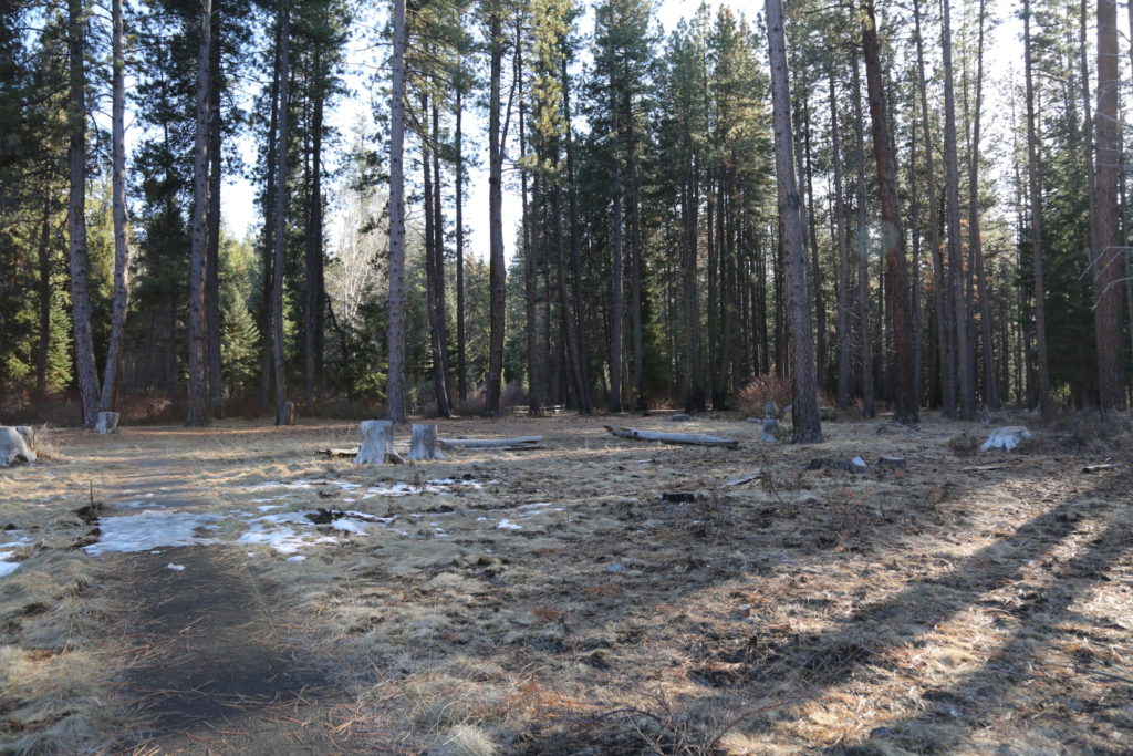
A perfect spot for any cowboy or western productions, with vast open fields surrounded by ponderosa’s and pine.  Cattle on land, and wild horses.

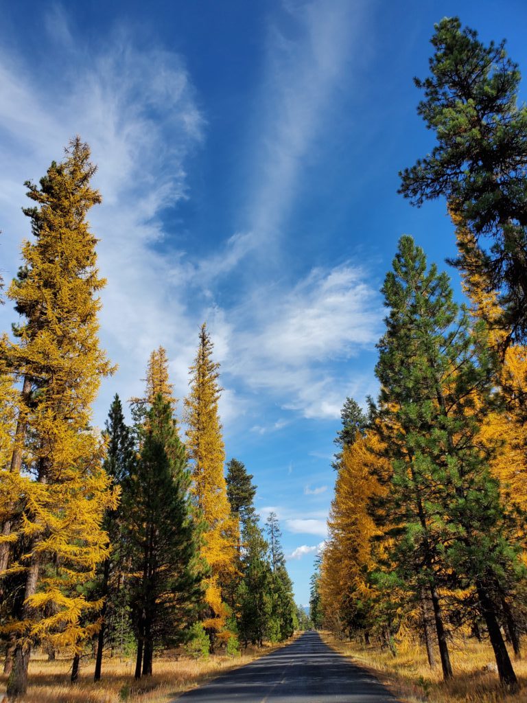
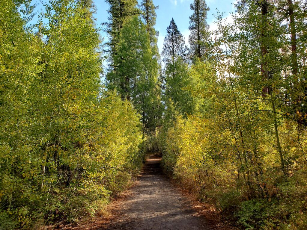
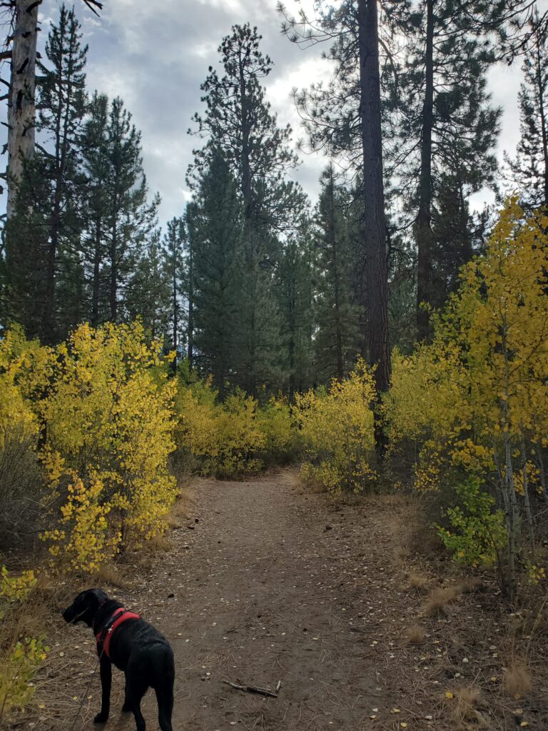
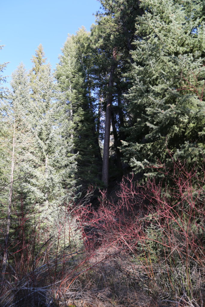
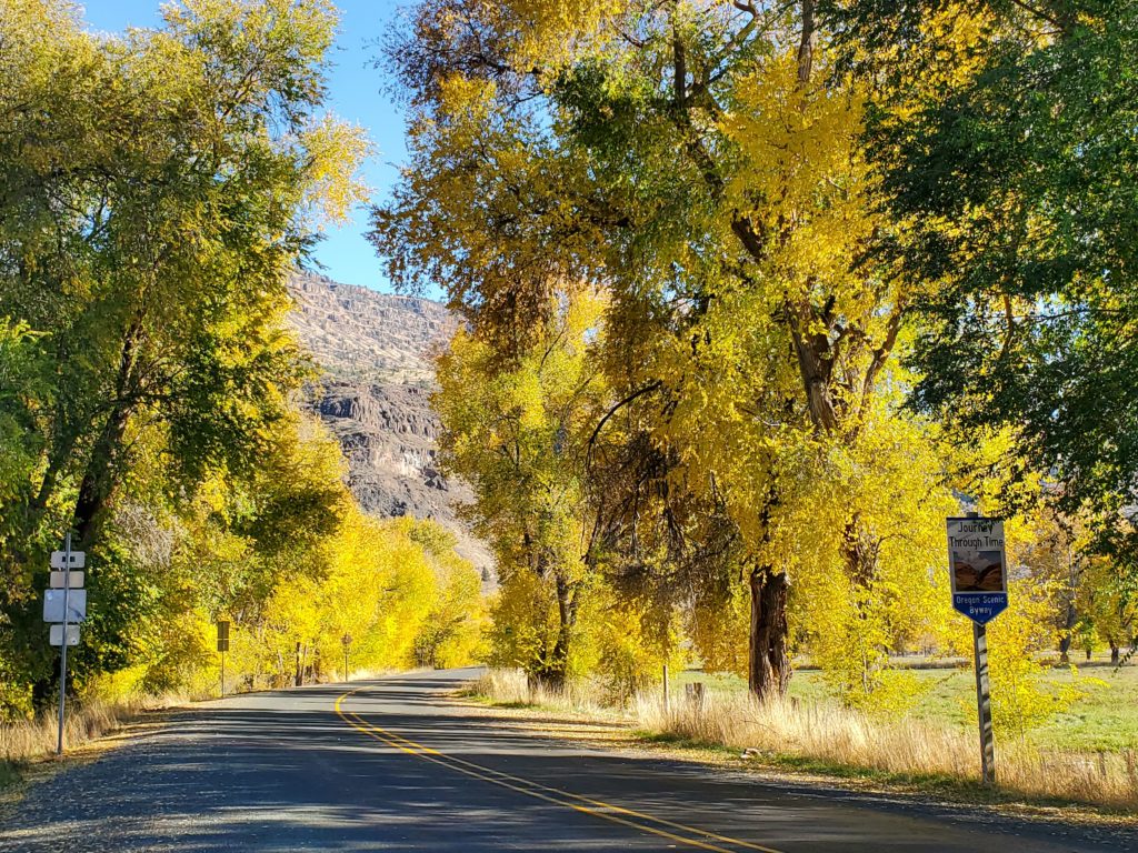
Particularly stunning during Fall when the Tamarack’s change color.

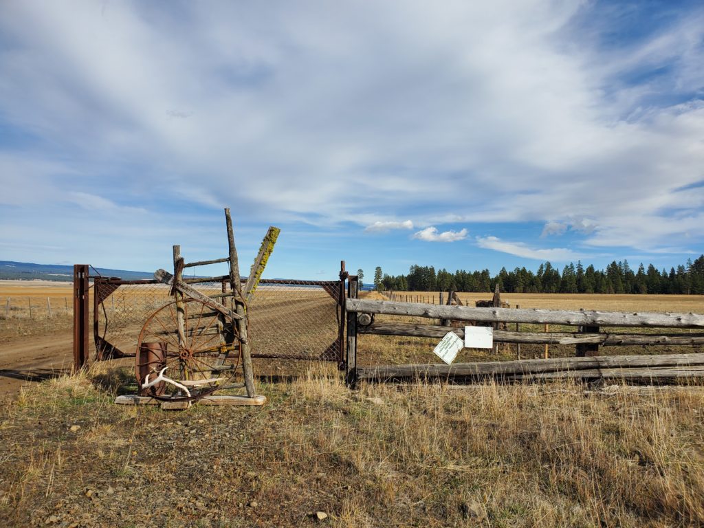
Permits via private owner and BLM, Prineville.


Continue Reading