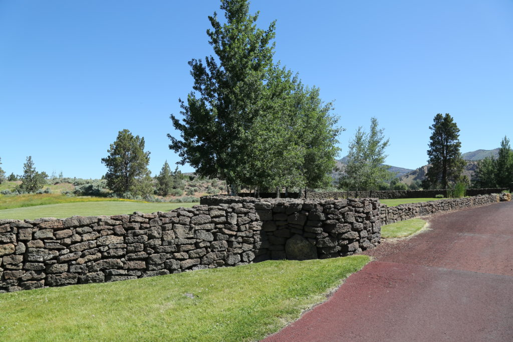
Fish Lake (McKenzie River Hwy)

Fish Lake Campground and Cabin area are part of  the Fish Lake Historic Site, also known as the Fish Lake Remount Depot, along the McKenzie Pass-Santiam Pass and the West Cascades National Scenic Byways.

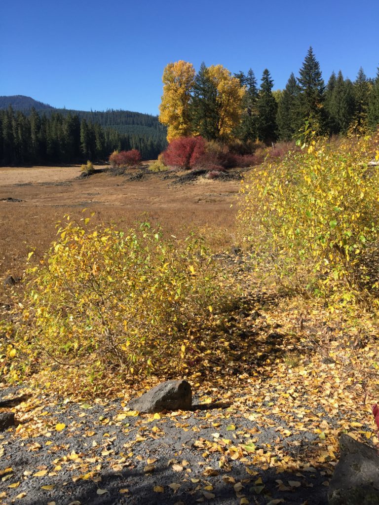
During the 1920’s, it served as the field and dispatch headquarters for the Santiam National Forest, (the predecessor of the Willamette National Forest) and as such has several buildings on site with a day use area with picnic tables and interpretive signs.. A viewing platform takes you to the lake’s edge. Fish Lake is a seasonal lake that only has water in winter and spring. In the summer, the water drains underground, leaving a lush meadow (images below).

There are two rustic cabins on site and a restroom in the day area.  The area is particularly colorful in the Fall.

For more information


Restroom in parking area

Continue Reading

Frissel Crossing Campground (McKenzie River Trail)

This developed facility has vault toilets, fire rings, picnic tables, garbage collection, and hand-pumped drinking water and lends itself to recreational shoots, particularly fly-fishing or easy water sports.

Located in the Willamette National Forest, Frissell Crossing campground resides at 2,600 feet in elevation with creek access. Douglas fir, rhododendrons, and vine maple surround this serene retreat.
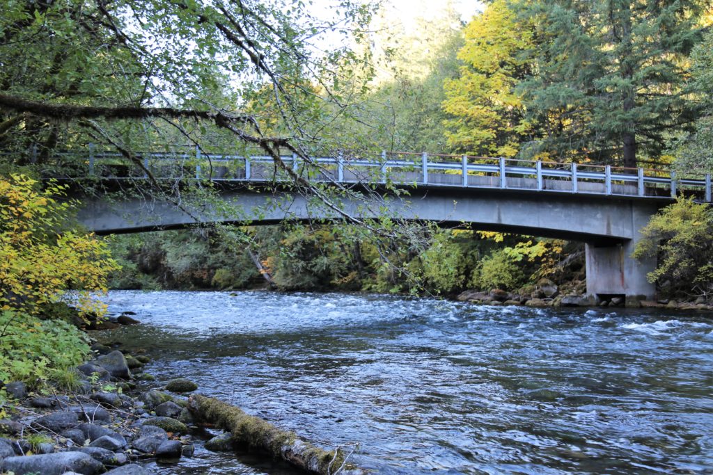
This beautiful and quiet campground lies on the South Fork of the McKenzie River and was originally constructed in 1934 by the Civilian Conservation Corps. It is located well away from the main road and some of the sites spread around an open meadow.

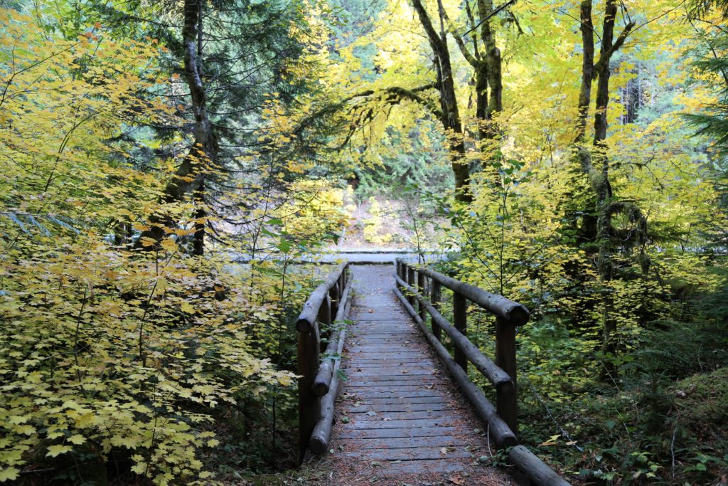
It’s useful for filming due to the natural beauty of the location, the easy access to the river, bridge and available parking for production vehicles.  as shown in these images, it’s particularly stunning during the Fall season when the leaves are changing color.  The highway leading to it is also stunning at that time.

Images taken late September.

Permit required from the Willamette National Forest. Please allow at least 30 days for processing.

Frissell Crossing Boat Ramp / Campground


Continue Reading

Sahalie Falls (McKenzie River Trail)

Sahalie Falls are located on the National Scenic Byway off Highway 126.  The Waterfalls Loop Trail, part of the McKenzie River National Recreation Trail, connects the two waterfalls and offers up close views of the wild McKenzie River.
These falls mark the terminus of two thick flows of basaltic andesite lava that dammed Clear Lake and moved into the McKenzie River 3,000 years ago. The results are two breathtaking waterfalls with foaming white water cascades in between.
There are restrooms and observation points. The parking areas are not overly large, but at Sahalie would accommodate a large film production truck and other vehicles as there are two areas for vehicles.
The area has walking trails and pathways leading down to the Falls and could be utilized for multiple shoots.  The are is particularly stunning in the Fall when the leaves are changing.
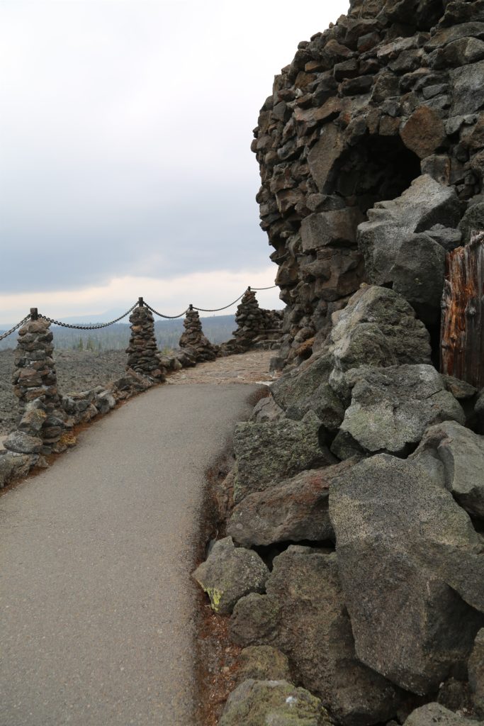
Permits required. Please request at least 30 days in advance. Additionally, the area can be challenging to access in the winter as the McKenzie River Highway is closed in certain sections due to snow accumulation.

Please contact us for further information.

Sahalie Falls

Sahalie Falls Pathway


Continue Reading

Dee Wright Observatory

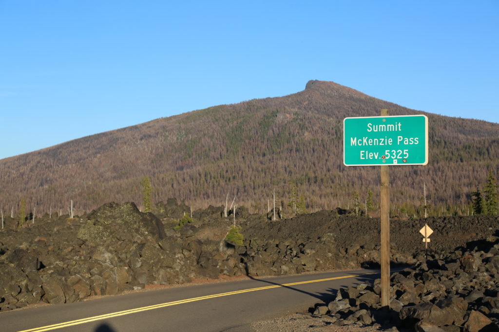
Located in the Cascade Mountain Ranges at 5,187 feet, this mountain observatory offers panoramic views across 65 square miles of black lava rock that looks so much like a moonscape that in 1964, NASA conducted drills with astronauts as they prepared to travel to the moon. Completed in 1935 by the Civilian Conservation Corps (CCC), the observatory was named in memory of Dee Wright, the crew’s foreman who passed away the year before.

This is a unique location for a production wanting something different.  The area is particularly suited , for a mountain biking shoot due to the pnderosa covered windy road up to the Observatory from Sisters. The area also has burned out sections from recent forest fires.
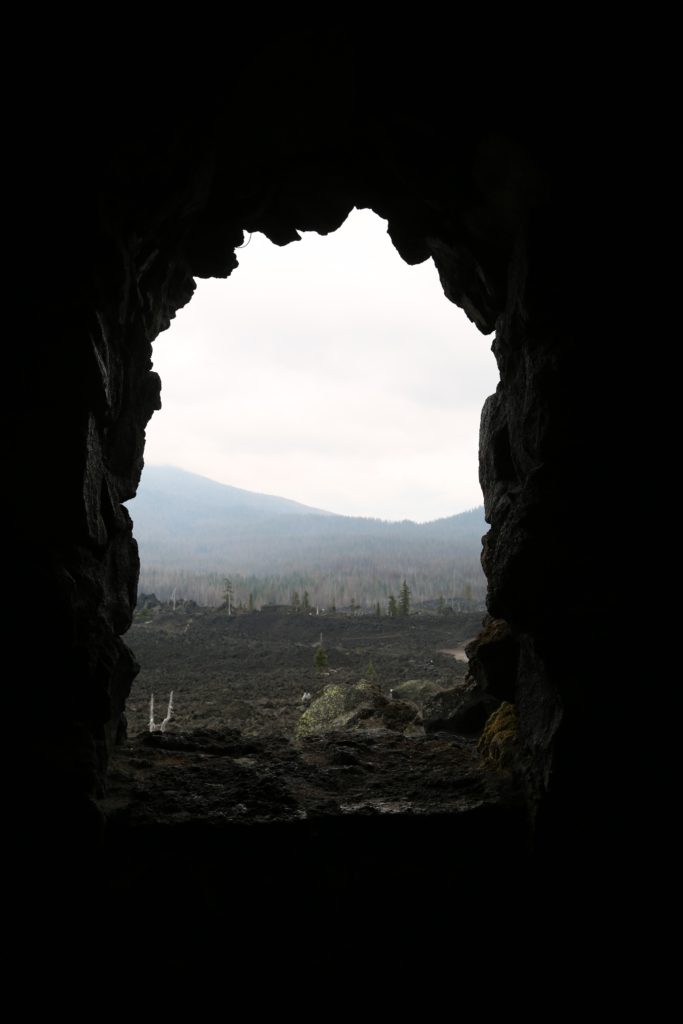
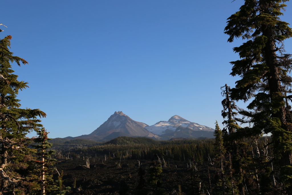
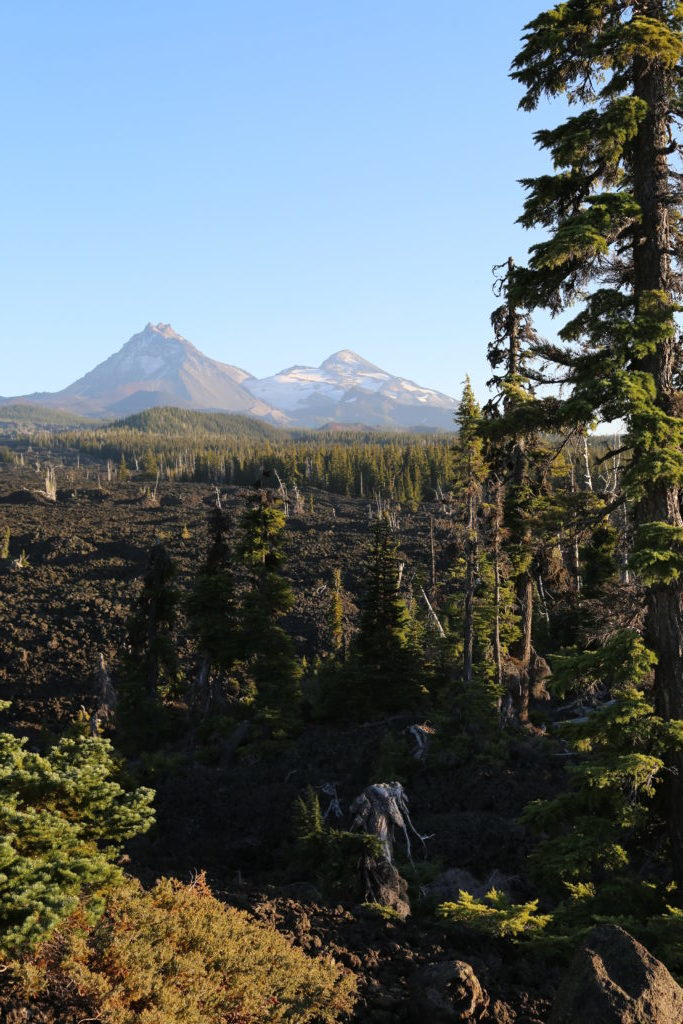
On a clear day, you can view Mt. Washington, Mt. Jefferson, the South, North, and Middle Sister, and even see Mt. Hood, 78.5 miles to the north. The observatory provides stunning backdrops for your shoot.  There’s parking and restroom on site.  The Observatory is located approximately 20 minutes from the town of Sisters.


Dee Wright Observatory

Dee Wright Observatory

Continue Reading

Ranch at the Canyons (Terrebonne)

Ranch at the Canyons is a private 1,700 acre residential community along the Crooked River at the base of Smith Rock State Park.
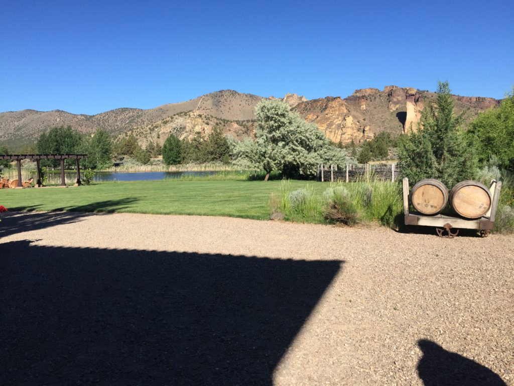
Located in the heart of Central Oregon, the Ranch offers breathtaking views of the towering Cascade Range, the desert canyons of Smith Rock State Park, two miles of the Crooked River and more than a dozen lakes spread throughout the property. In addition to natural beauty, there is also access to the Old Winery Clubhouse and Guest Villa, the Tuscan Stables, and Monkey Face Vineyard.
Excellent alternative to Smith Rock which is rarely available for filming due to wildlife restrictions and overuse.

There is plenty of space for parking on site, and a stable for tech and catering (to be brought on site).

Accommodation is available nearby in Redmond, and also at Eagle Crest Resort.

Location fee payable to the Property.  They would prefer as much advance notice as possible.

Images taken June around 2pm.  Best times to shoot are sunrise and sunset.

Ranch at the Canyons


Crooked River 

Old Homestead opposite the property

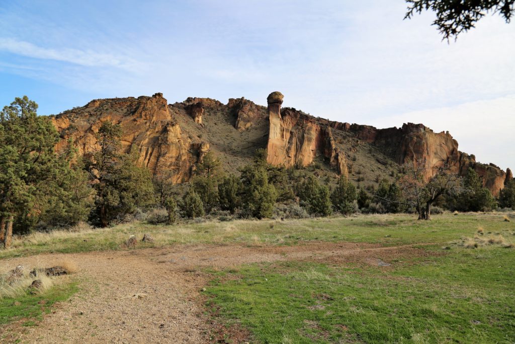
Iconic Monkey Face of Smith Rock


View of Smith Rock across the Crooked River

Dining table.

Entrance to the development


Ranch at the Canyons accommodation (primarily used for weddings)


Continue Reading