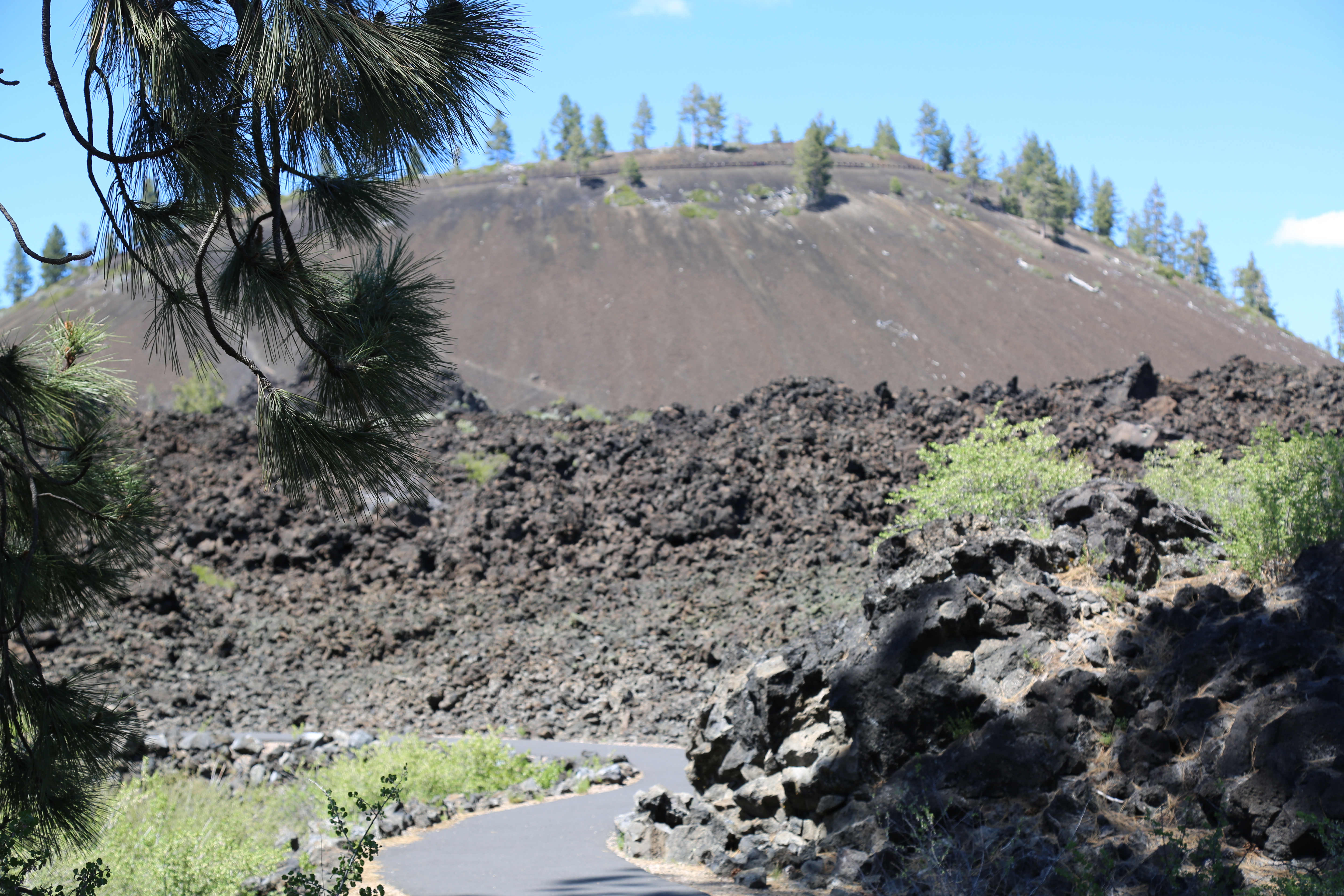
Lava Butte facing North. May 26, 2017 approx. 2.30pm
Elevation: 5,023′
Prominence: 509′
Last eruption: About 7,000 years ago
Topo map: USGS Lava Butte
Lava Butte is a cinder cone in central Oregon, United States, just west of US Highway 97 between the towns of Bend, Oregon, and Sunriver, Oregon. It is part of a system of small cinder cones on the northwest flank of Newberry Volcano, a massive shield volcano which rises to the southeast. The cinder cone is capped by a crater which extends about 60 feet (20 m) deep beneath its south rim, and 160 feet (50 m) deep from the 5,020-foot (1,530 m) summit on its north side. Lava Butte is part of the Newberry National Volcanic Monument.
Permit required from the Deschutes National Forest. Minimum 20 day notice please.