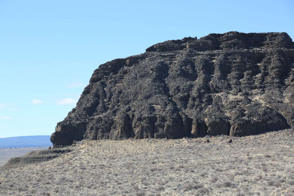
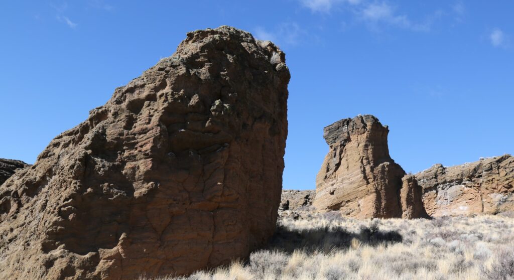
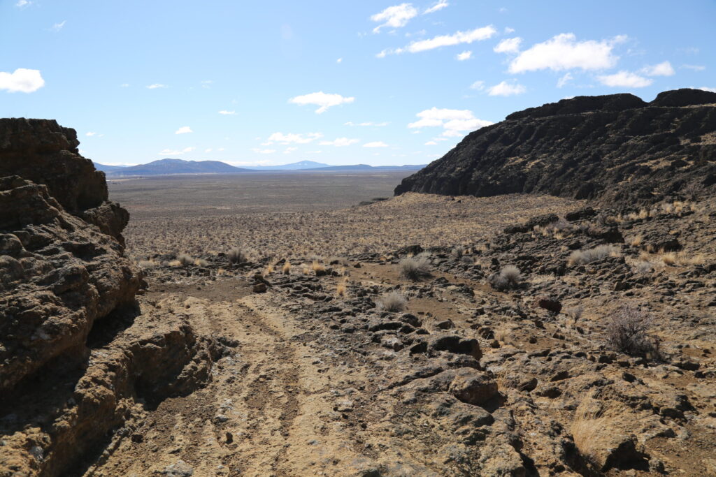
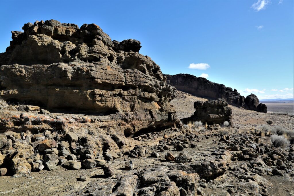
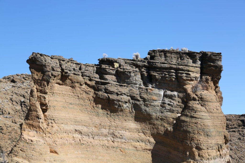
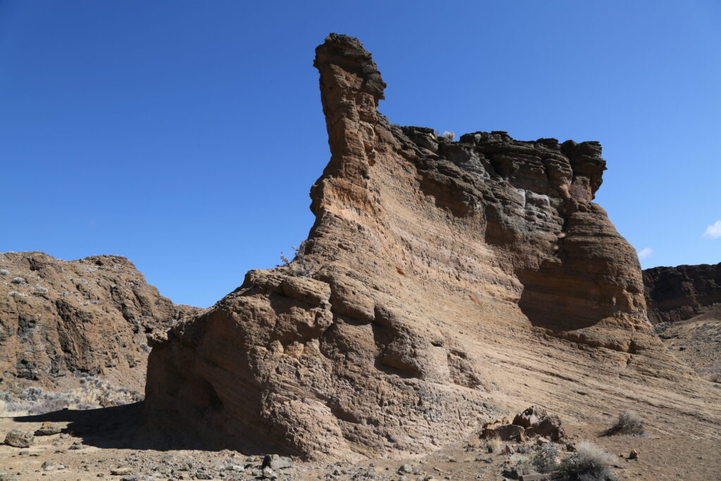
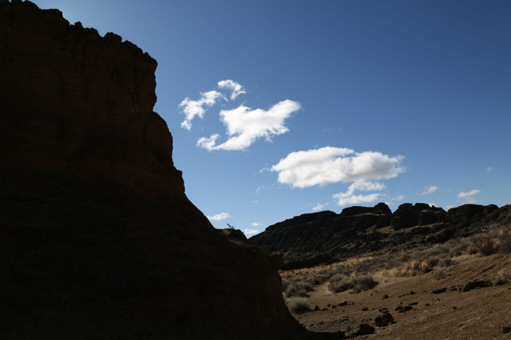
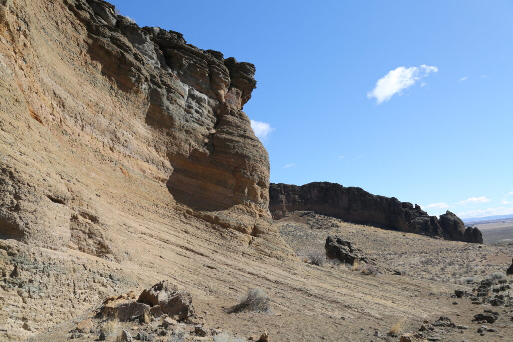
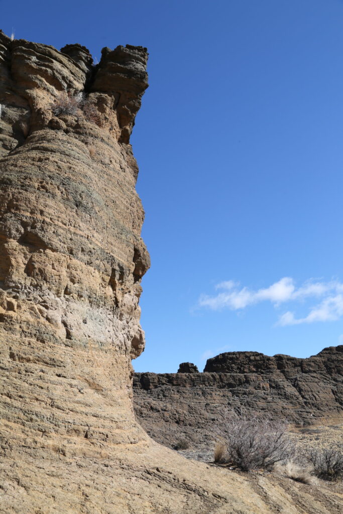
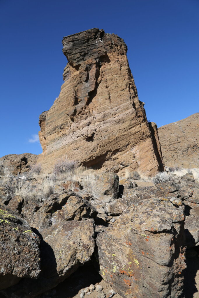
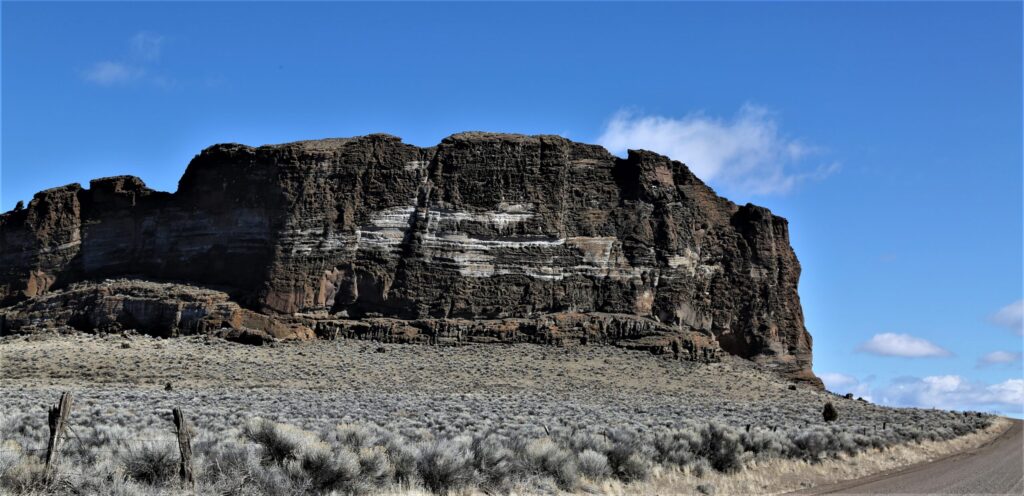
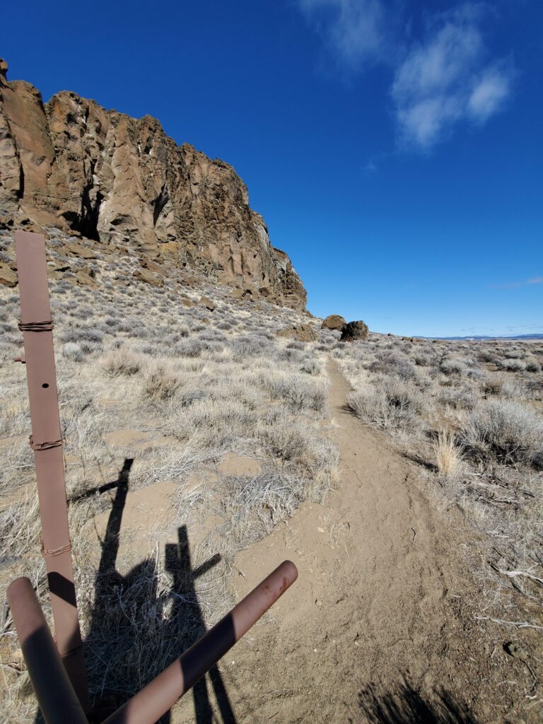
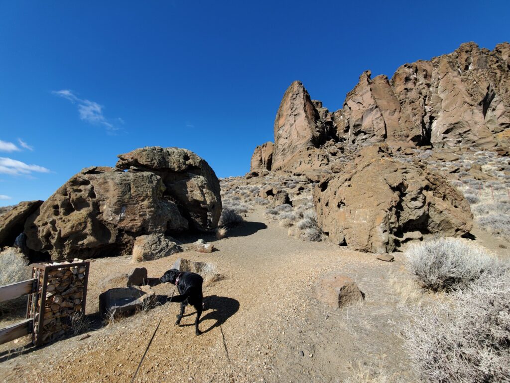
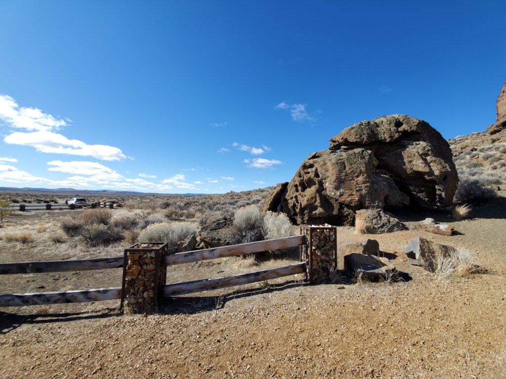
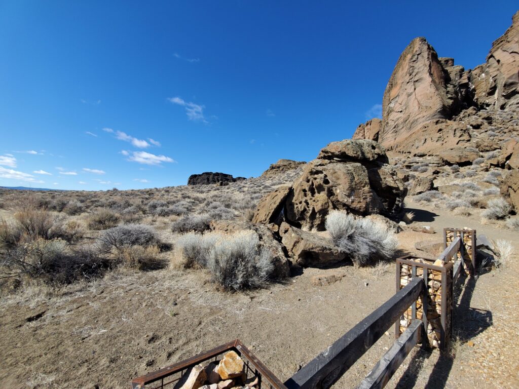
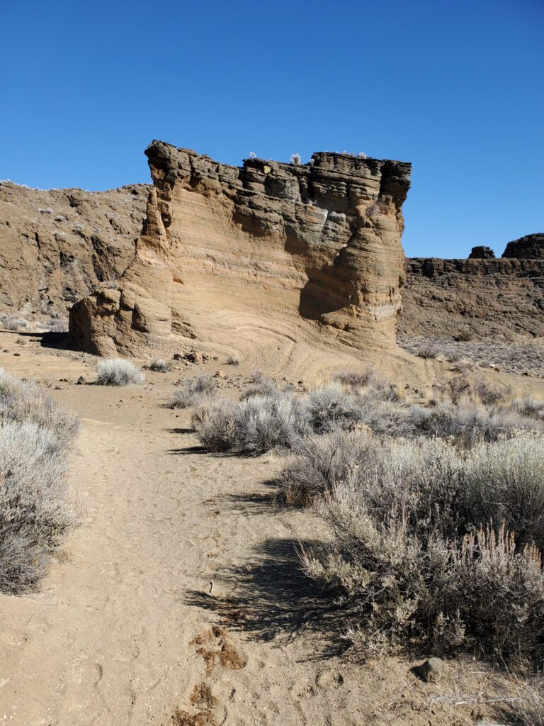
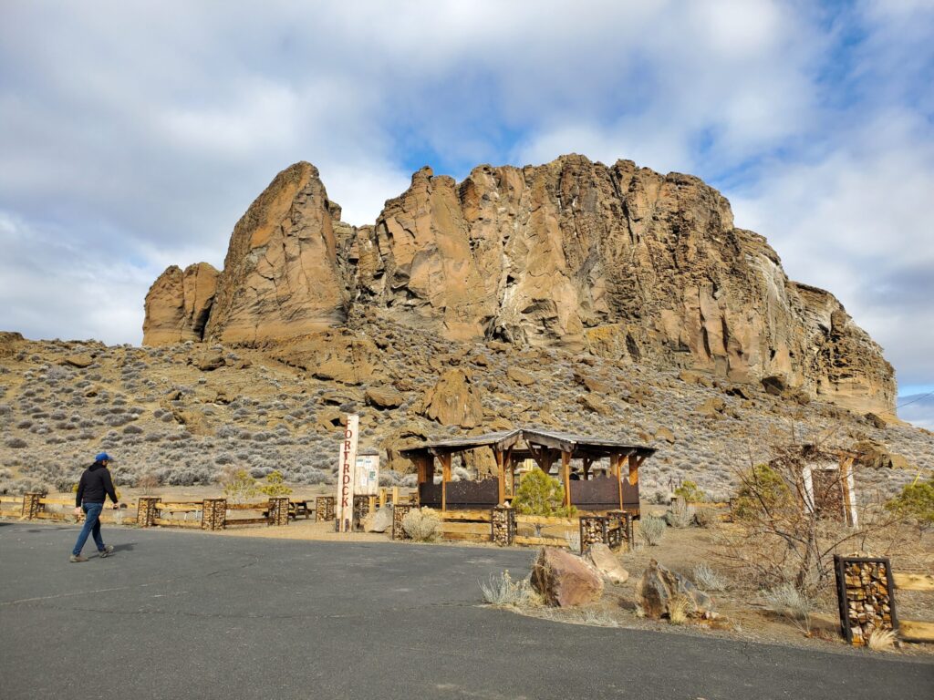
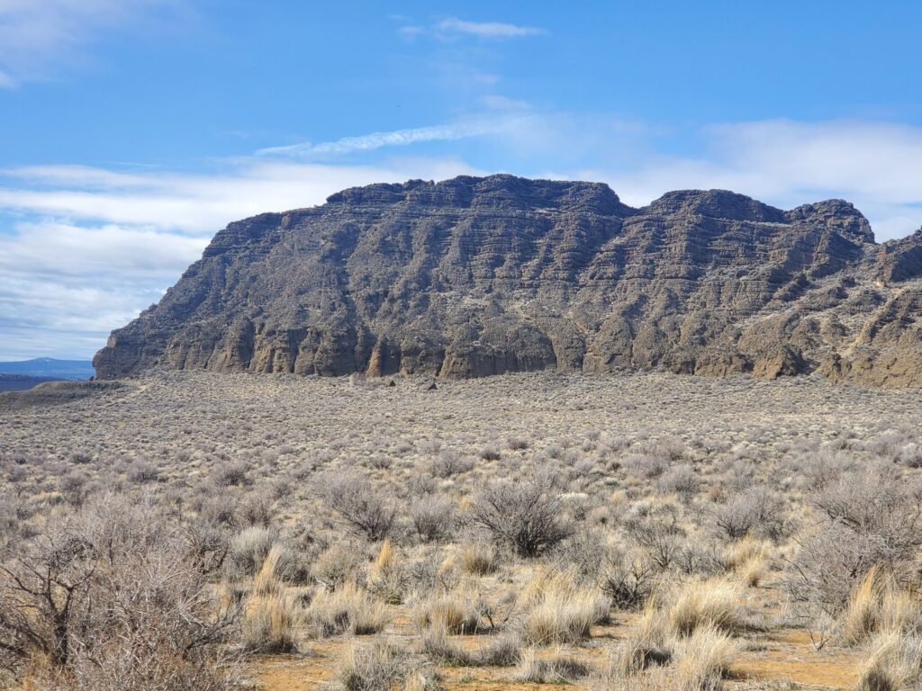
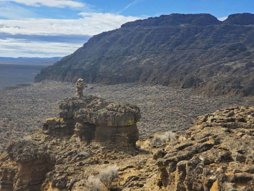
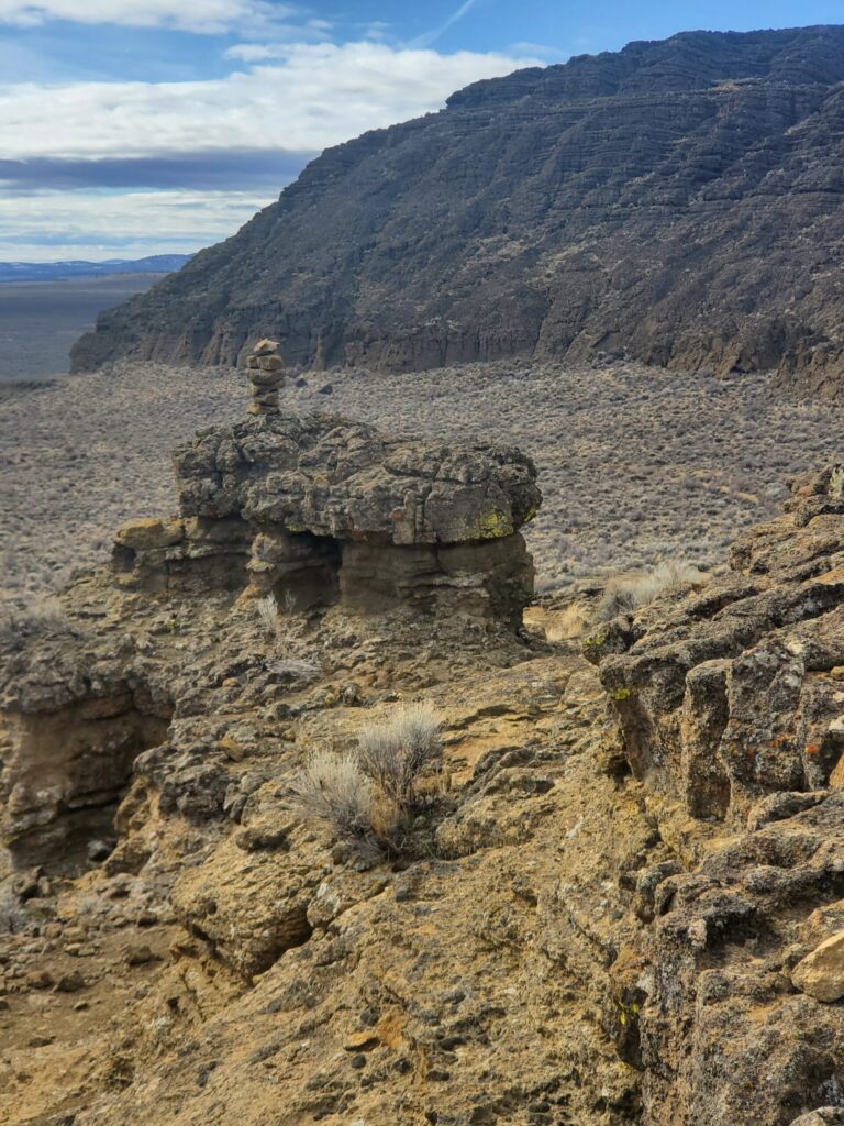
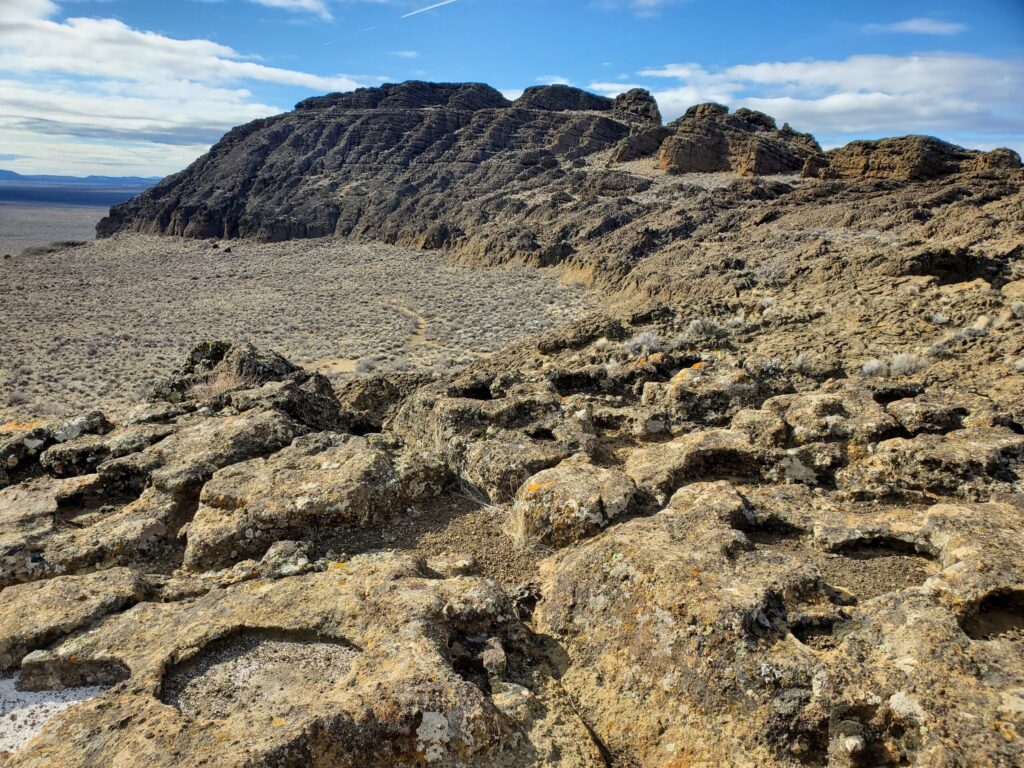
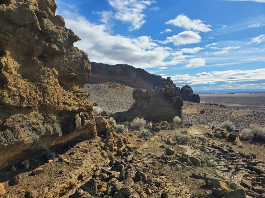
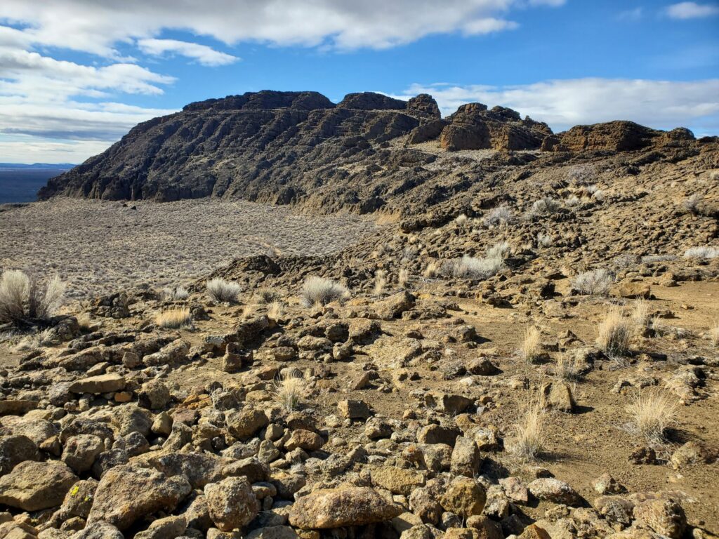
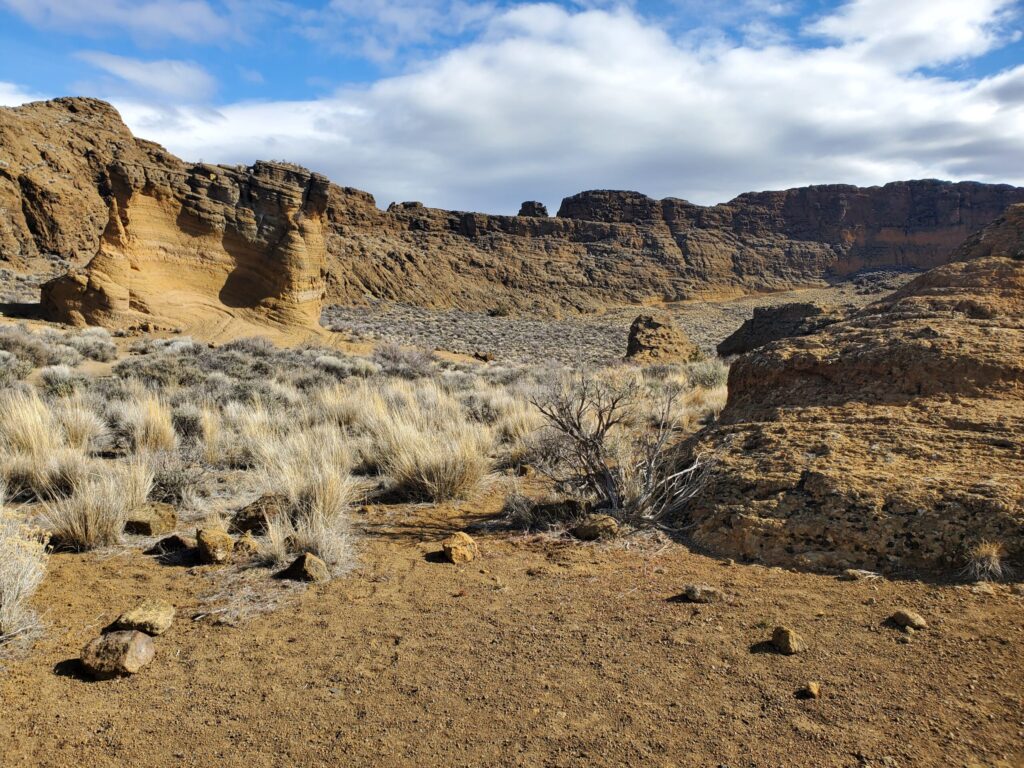
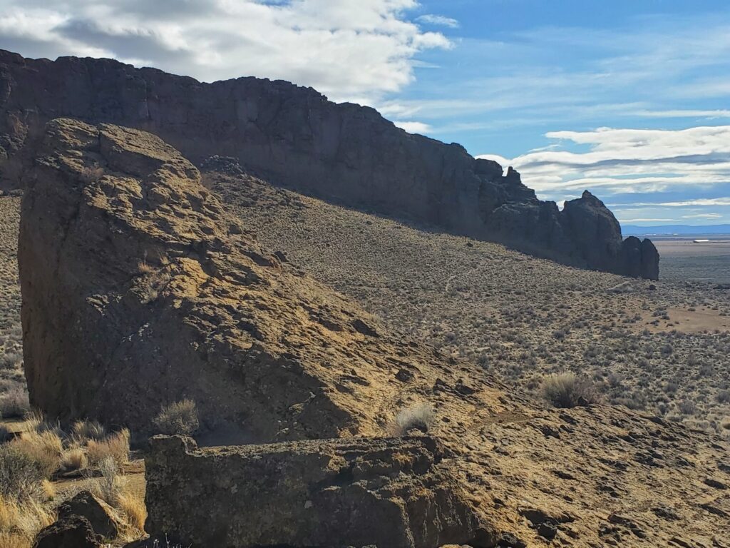
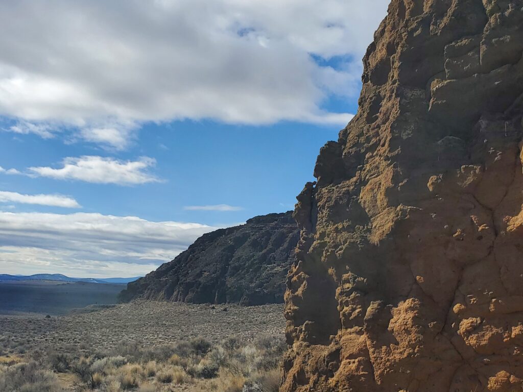
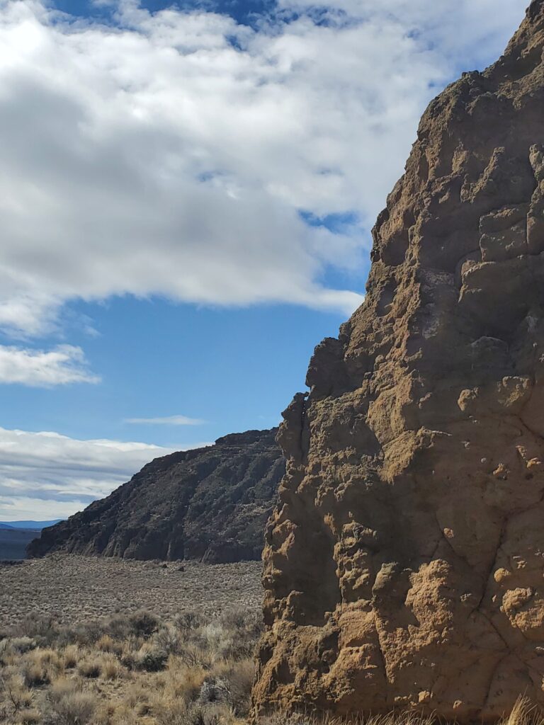
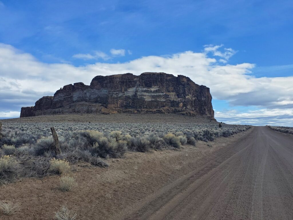
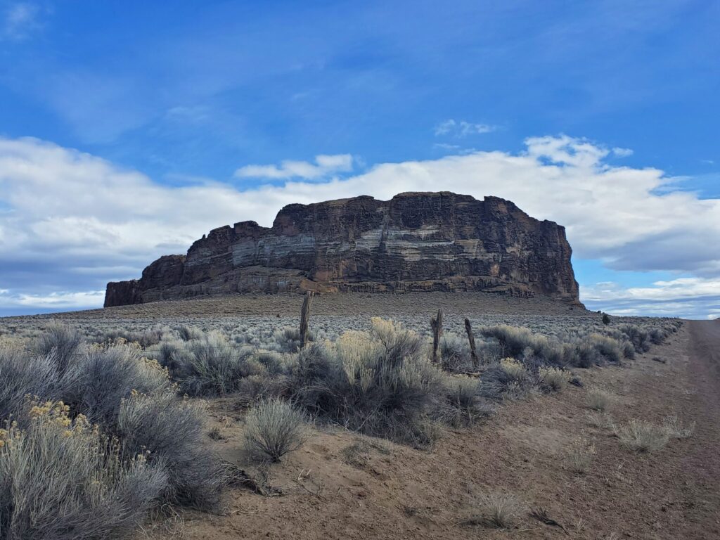
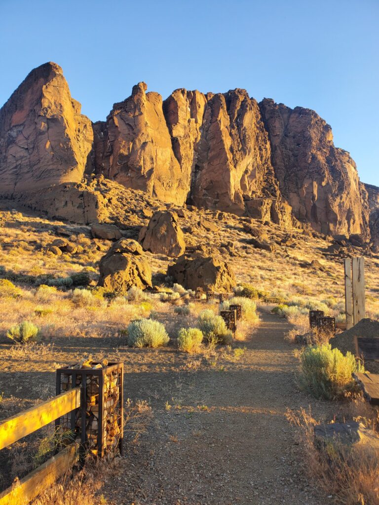
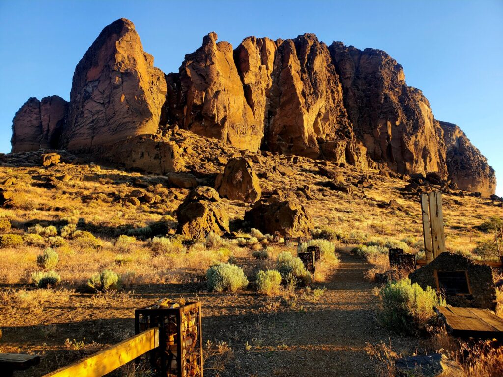
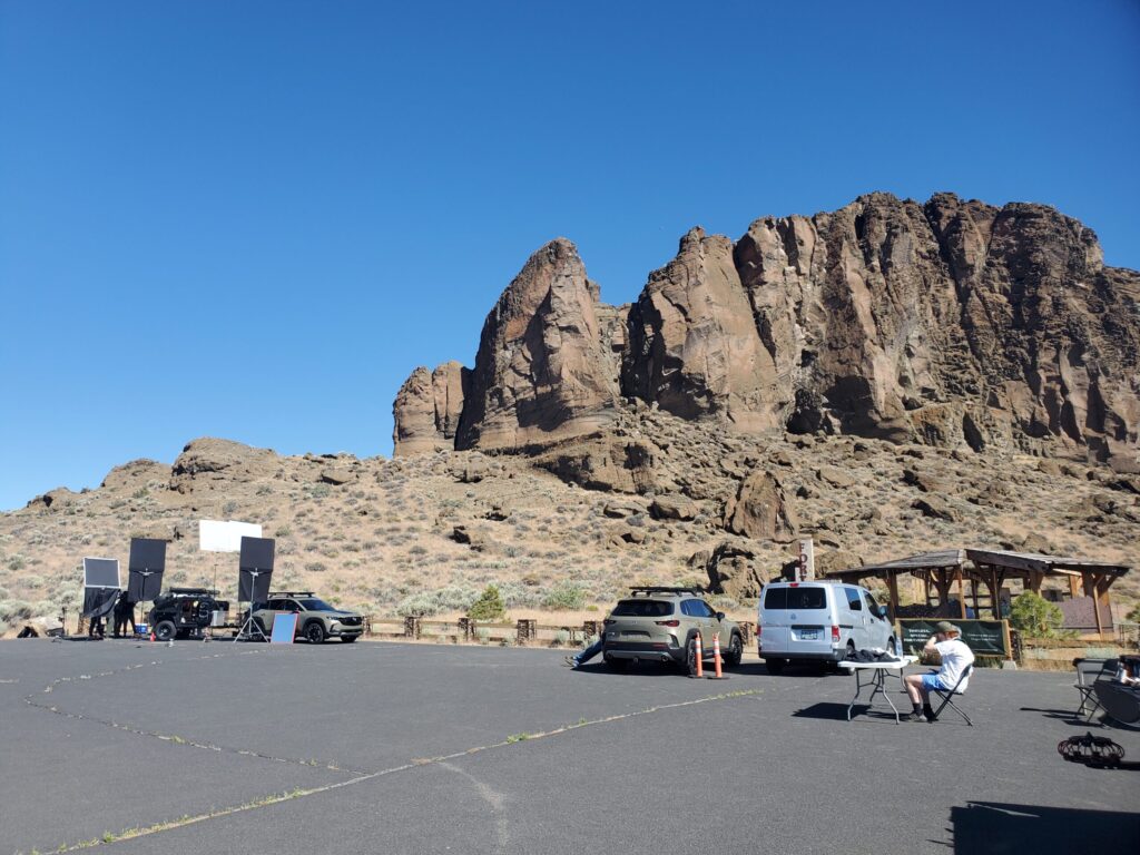
Fort Rock is an excellent option for productions that are looking for a massive rock formation, either for print, TV, commercial or film work. Providing a stunning backdrop, Fort Rock provides iconic 360 degree vistas. Fort Rock is a State Park, and productions do need a special use permit which can be obtained by the Fort Rock State Park Ranger, who are excellent to work with. Please contact them, or this office at least 21 days in advance of any production.
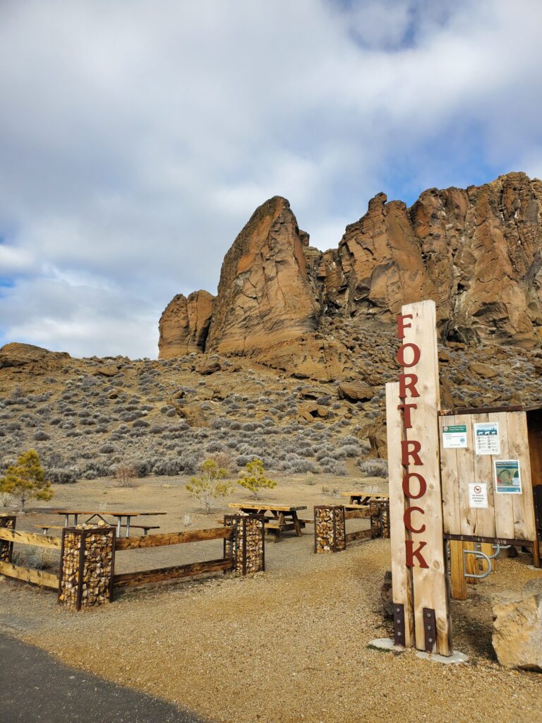
There is parking in the area at the base of the rock, including basic restroom facilities and water.
Additional parking can be obtained by leasing space at the ranch adjoining the Park.
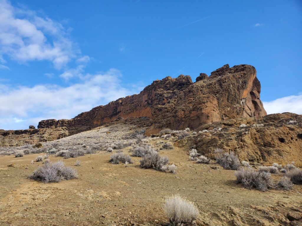
Images taken mid-June. Noon. Facing South, and early November, 10am.
From Wikipedia:
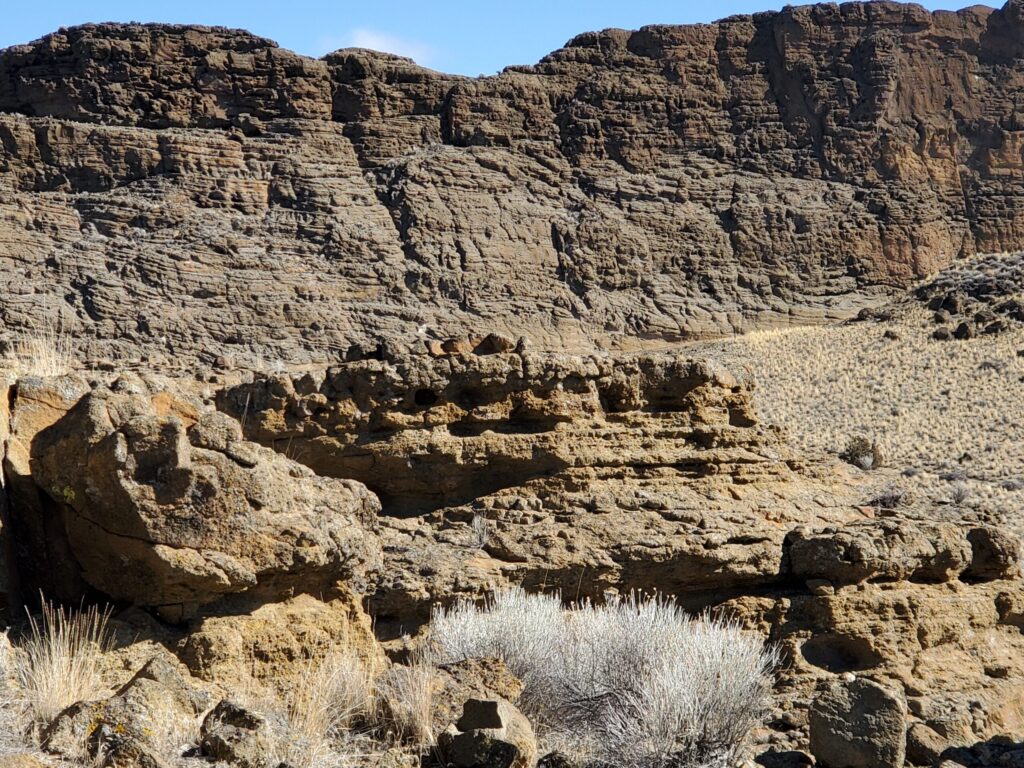
The rock was created when basalt magma rose to the surface and encountered the wet muds of a lake bottom. Powered by a jet of steam, molten basalt was blown into the air, creating a fountain of hot lava particles and frothy ash. The pieces and blobs of hot lava and ash rained down around the vent and formed a saucer-shaped ring of lapilli tuff and volcanic ash sitting like an island in the lake waters. Steam explosions also loosened angular chunks of black and red lava rock comprising the valley floor. These blocky inclusions are incorporated into the fine-grained tuff layers at Fort Rock. Waves from the lake waters eroded the outside of the ring, cutting the steep cliffs into terraces 66 feet (20 m) above the floor of Fort Rock Valley.
The wave-cut terraces on the south side of the ring mark former lake levels of this now-dry lakebed. Southerly winds, which are still predominant in this region, apparently drove waves against the south side of the ring, eroding the soft ash layers, breaching it, and creating a large opening on the south side.
Previous age estimates of Fort Rock ranged upwards to 1.8 million years. Recently, the age of Fort Rock has been estimated at 50,000 to 100,000 years. This coincides with a period of time when large pluvial lakes filled the valleys of central Oregon and much of the Great Basin of the western United States. At its maximum, the water in Fort Rock Lake was estimated to cover nearly 900 square miles (2,300 km2) and was about 150 feet (46 m) deep where the Fort Rock tuff ring formed.
The extensive terrace on the side of Fort Rock marks one lakeshore about 14,000 years ago. Even higher water levels are recorded on the tuff cliffs and at one point only the tops of the tuff ring were exposed as rocky islands in this inland sea. An age of about 21,000 years ago has been found for this highest lake level.


