Burnt Ranch Road (Painted Hills)

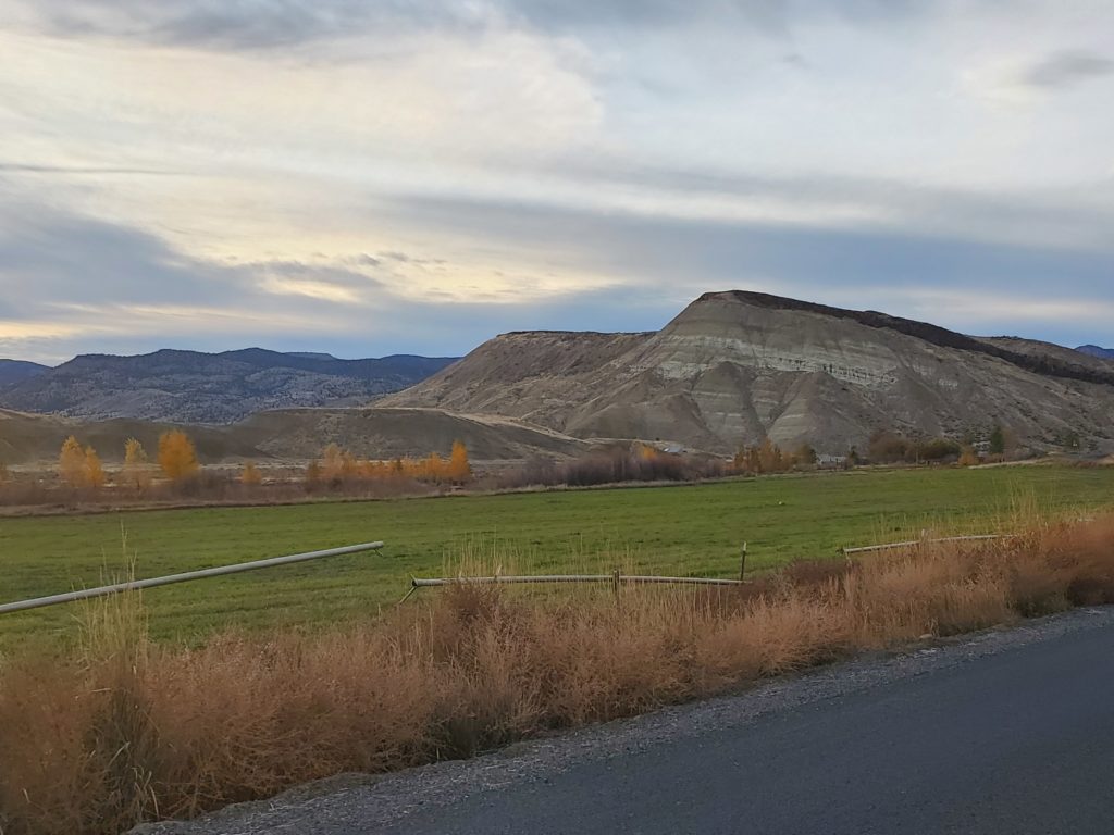
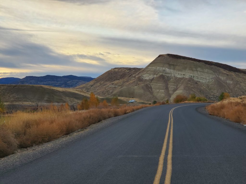
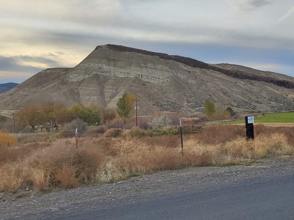
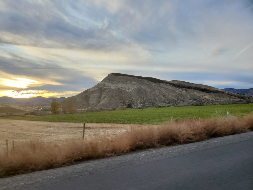
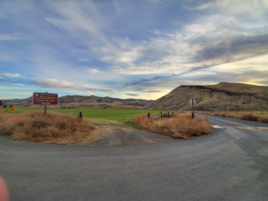
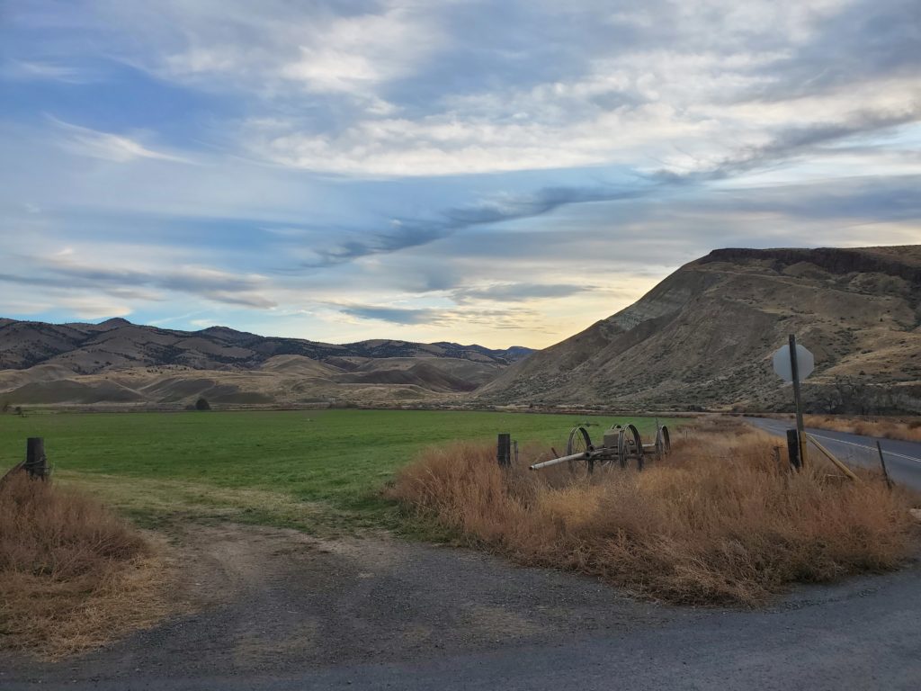
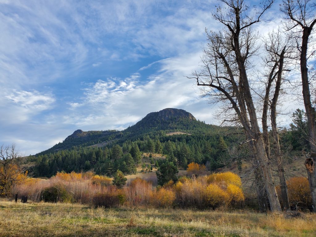
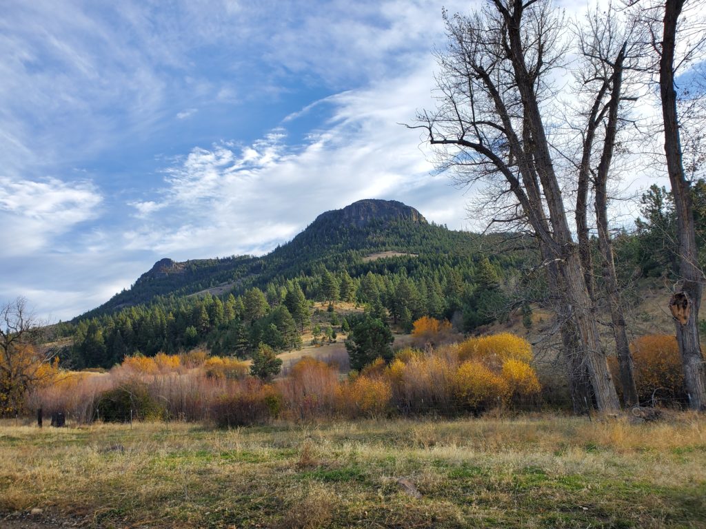
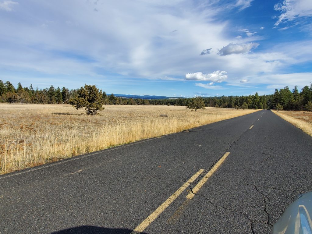
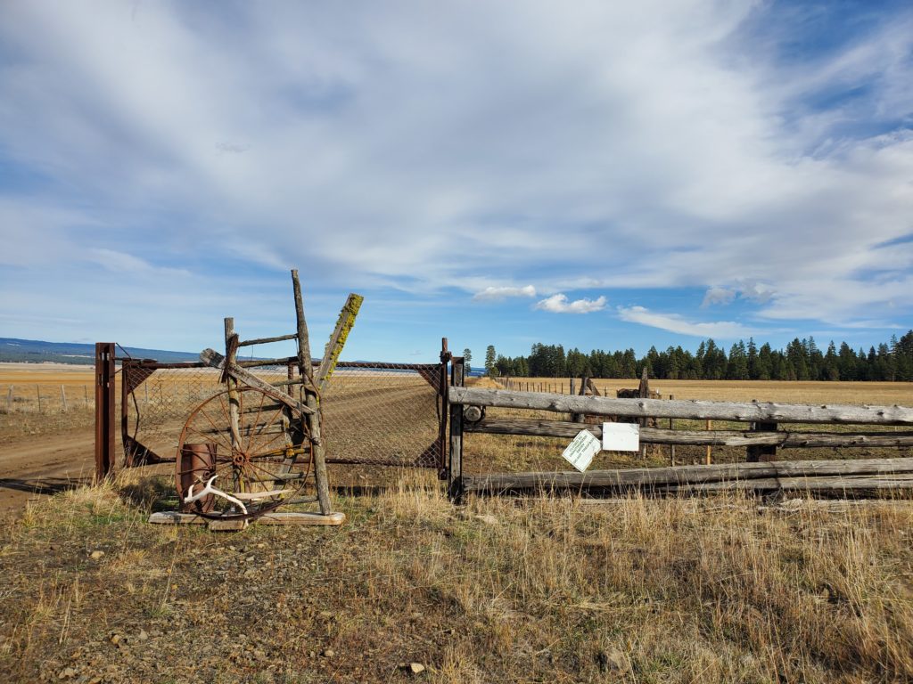
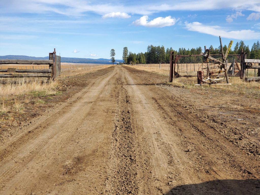
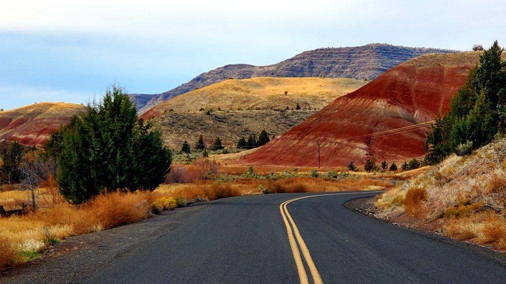
Burnt Ranch Road (also known as Bridge Creek Road)  leads from the Ochoco Highway in Mitchell to the Painted Hills Overlook (part of the John Day National Monument/Painted Hills division). The road itself is partial monument land, part BLM, so care must be taken with permit applications.

The road itself is a stunning drive surrounded by geological fossil formations on one side, and grasses and farm land on the other. It also winds alongside Bridge Creek.

BLM permit applications require 60 days advance notice through BLM Prineville.

John Day National Monument should be done at least 30 days in advance.

Nearest accommodation and services are in Mitchell (limited/10-15 minutes away), and wider availability in Prineville (1 hour via Hwy 26).


Continue Reading

Big Summit Prairie

Located in the heart of the Ochoco Mountains, approximately 30 minutes from Prineville (accommodation and services). Privately owned, the Prairie is surrounded by U.S. Forest Service and Bureau of Land Management land and is easily accessible from Prineville (thirty miles to the west) and U.S. 26 (ten miles to the northwest). According to historian Steve Lent, Big Summit Prairie received its name because of its size, which is larger than Little Summit Prairie, a smaller area twelve miles to the east. Both areas are at the summit of the Ochoco Mountains.

Big Summit Prairie is a five-by-seven-mile basin at an elevation of 4,500 feet, and is described by Stuart G. Garrett as an “unexpected meadow island in the dramatic old growth ponderosa pine forests.” Geologically, the basin was formed when soft tuff, or volcanic ash (underlain by the John Day Formation), was eroded away from the surrounding basalt.

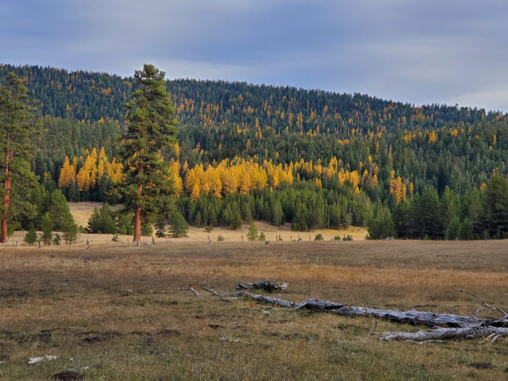
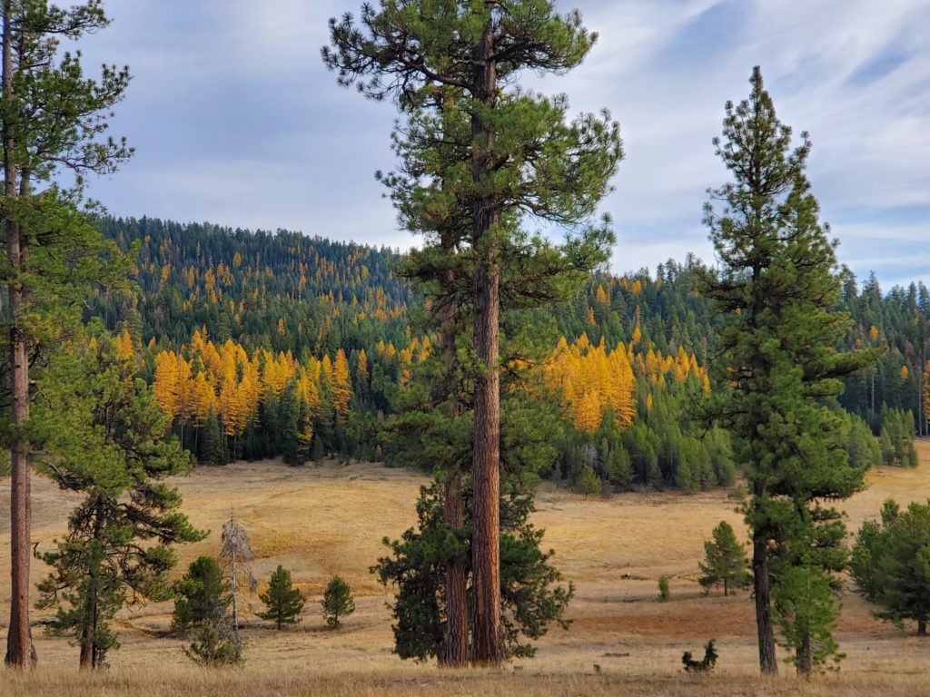
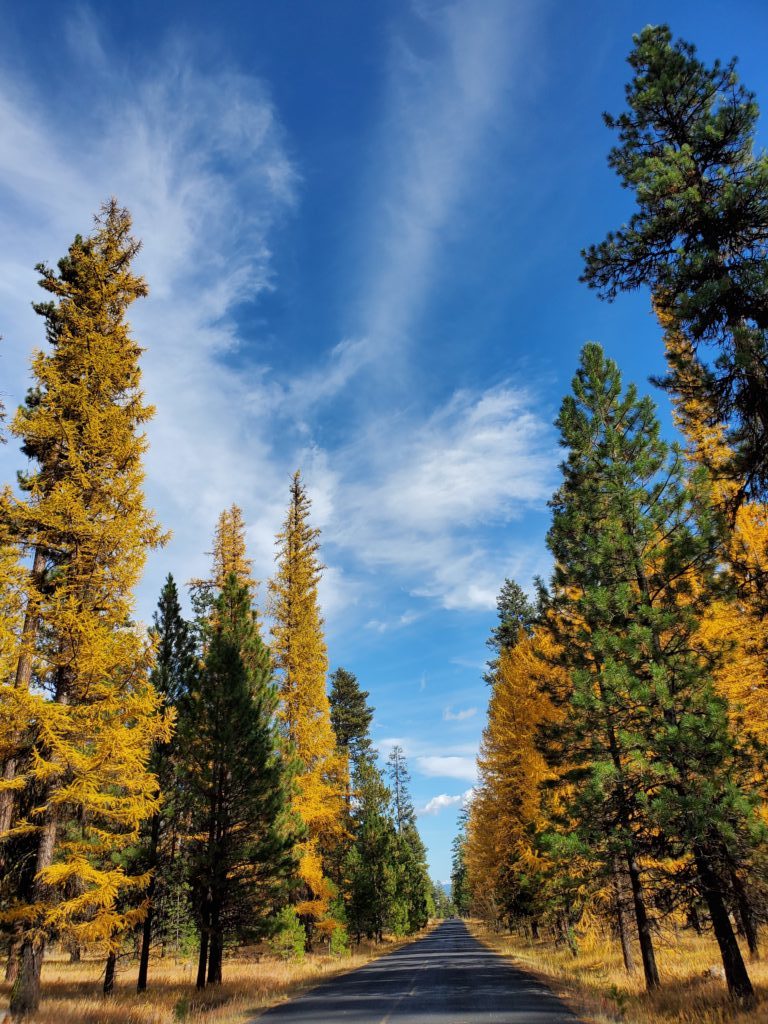
A perfect spot for any cowboy or western productions, with vast open fields surrounded by ponderosa’s and pine.  Cattle on land, and wild horses.

Particularly stunning during Fall when the Tamarack’s change color.

Permits via private owner and BLM, Prineville.


Continue Reading

Point Campground (Elk Lake)

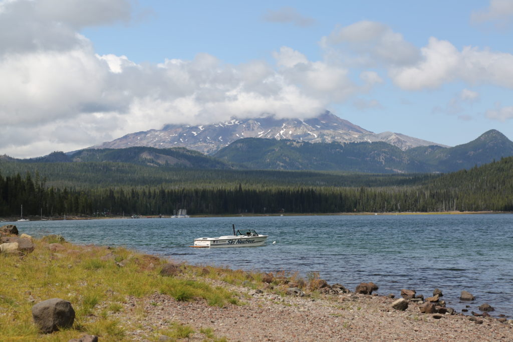
Point Campground is a small campground on Elk Lake with stunning views of Mt. Bachelor.  Boat launch area and parking for production vehicles.  Campground is surrounded by tall ponderosa’s and pine trees.  Close to Cascade Lakes Highway for easy access.  Also close to Elk Lake Resort (restaurant, boat and kayak rentals and limited supplies including gas).

Images taken early August, late afternoon.   Permit Fees to be paid to Deschutes National Forest with 21 – 30 days advance application.

Cascade Lakes Highway is generally closed from late November to mid-May depending on snow pack. Accessible by snow-cat (through Elk Lake Resort).


Continue Reading

Deschutes River (Sunriver)

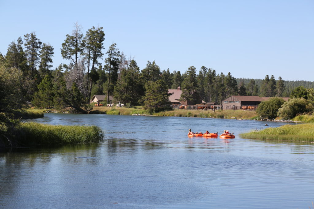
Wide section of the Deschutes River in Sunriver. Perfect for kayaking, SUP, canoe and water recreation shoots.  This section of the river runs along the Sunriver Resort property down to the Hola restaurant. 

Plenty of parking at the Resort, and around the restaurant area. 

Drone footage allowed with a permit from the City of Sunriver.  Use of Resort by private agreement.


Continue Reading

Sunriver Stables

Sunriver Stables are located on the Sunriver Resort.   Horses are available for rent, for riding on the Sunriver Resort, and possibly outside of the area.  Located on the Deschutes River, the stable has stunning views of the neighboring ponderosa forest and river.

Fee to be paid.  Images taken late July.


Continue Reading