Crescent Lake and Campground

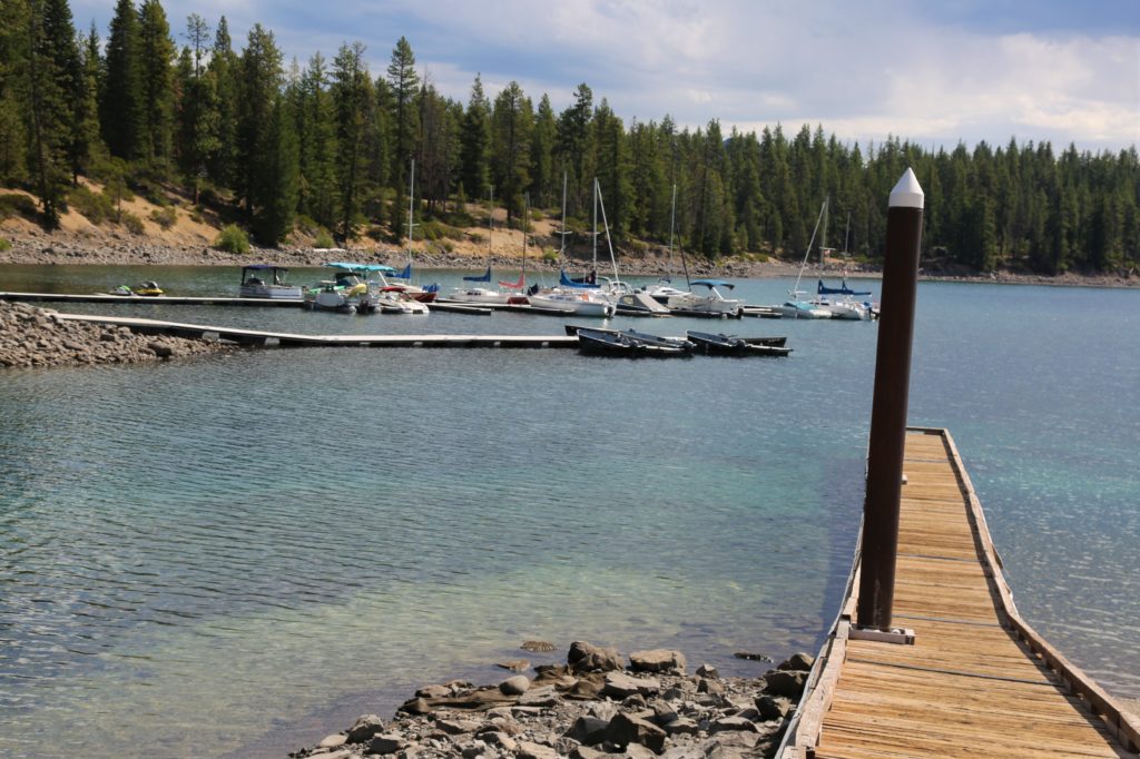
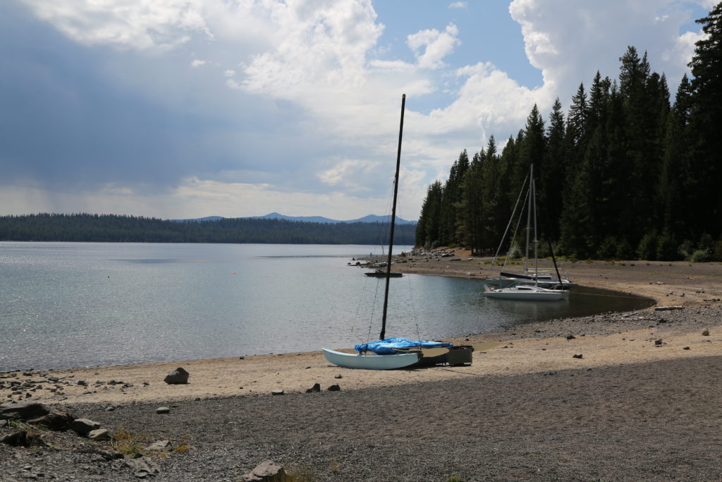
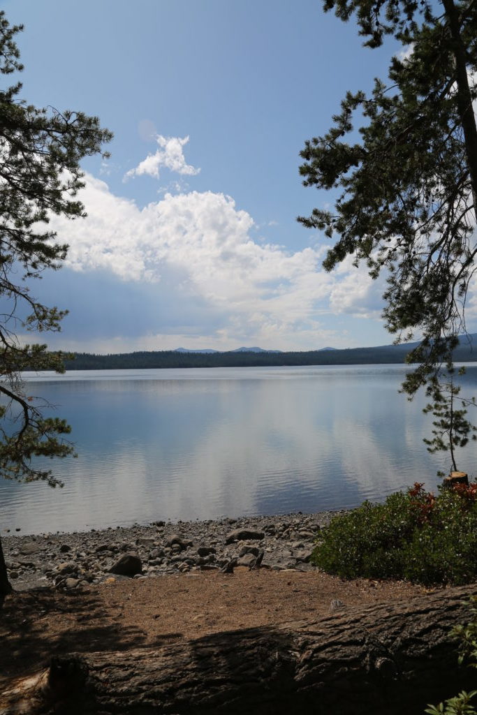
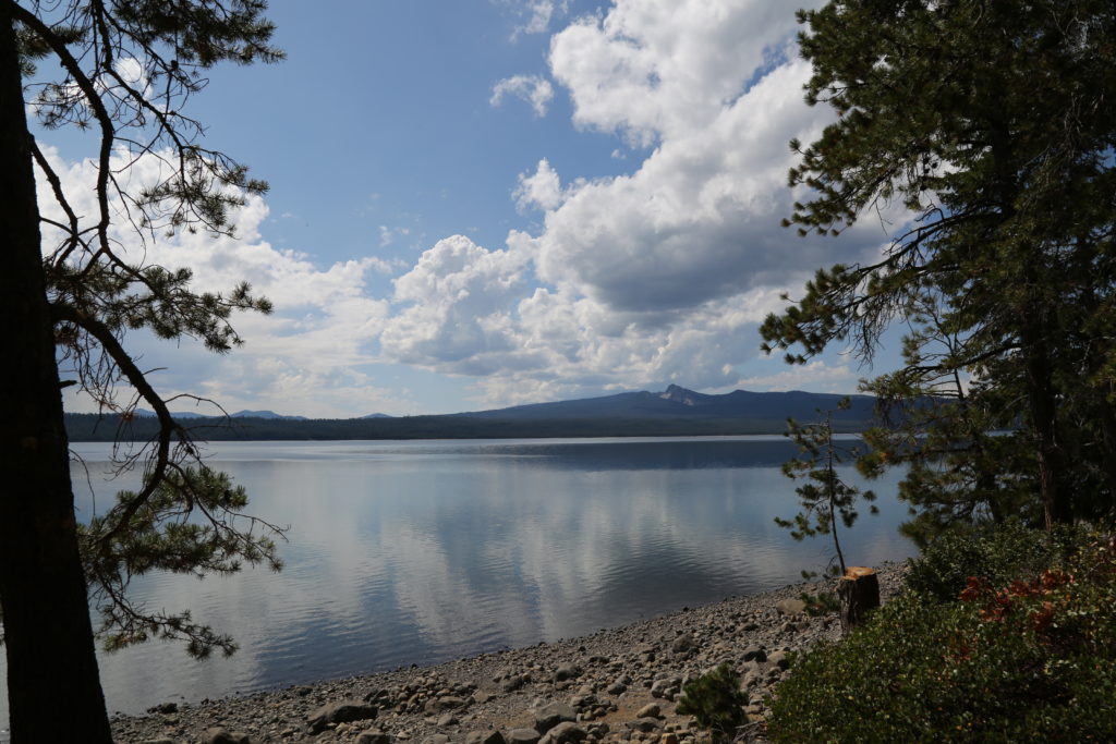
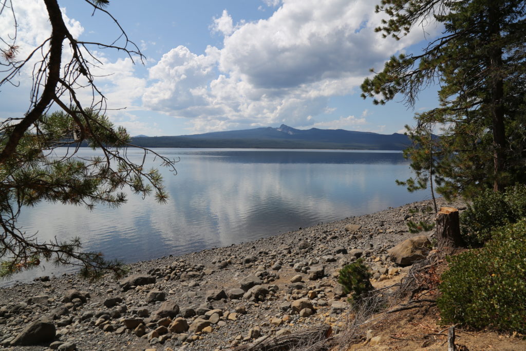
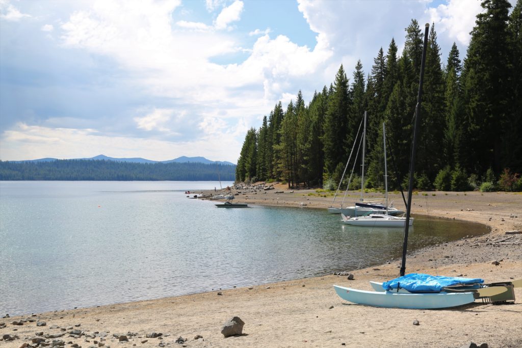
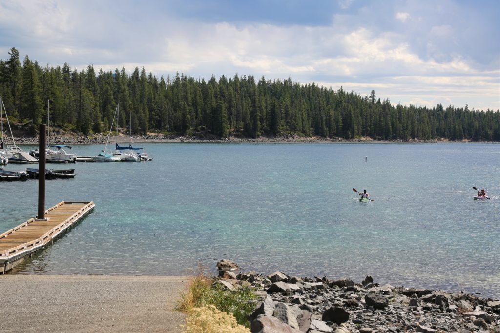
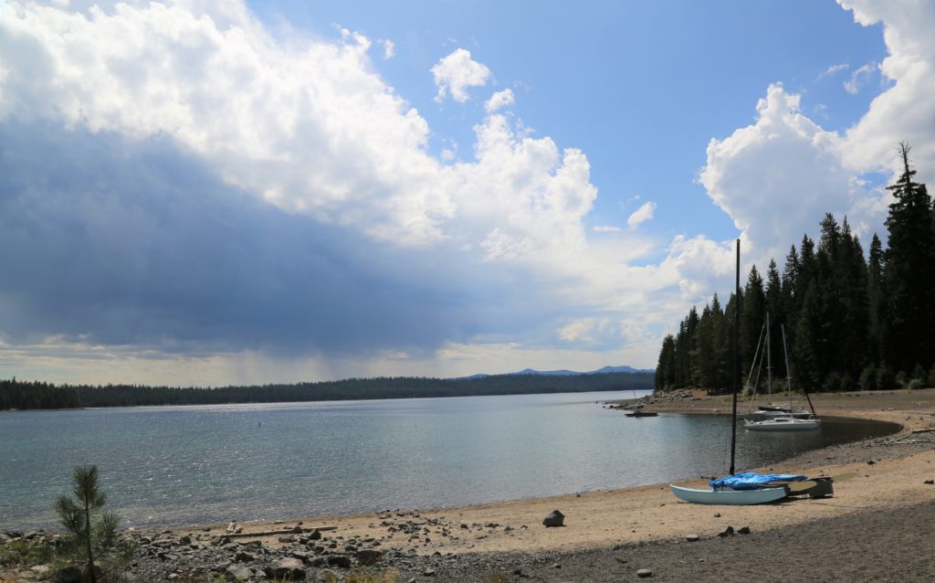
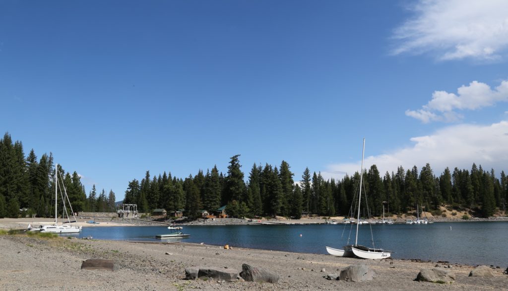
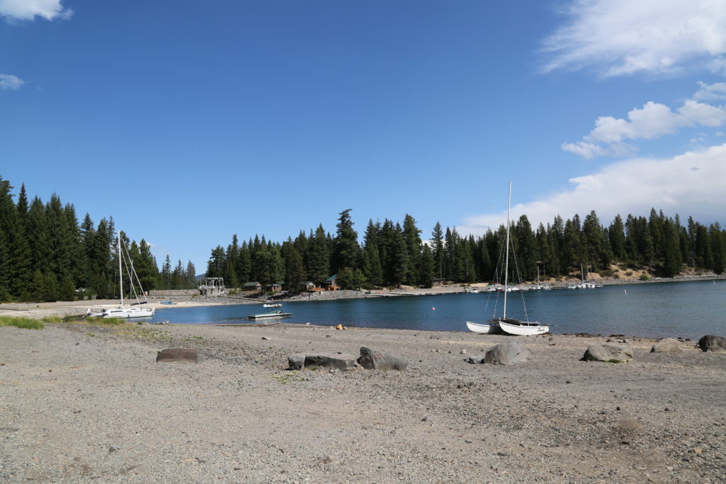
Crescent Lake is a natural lake on the eastern side of the Cascade Range in the northwest corner of Klamath County, not far from the town of LaPine in Central Oregon. 
 
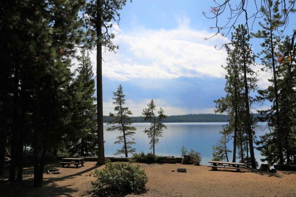
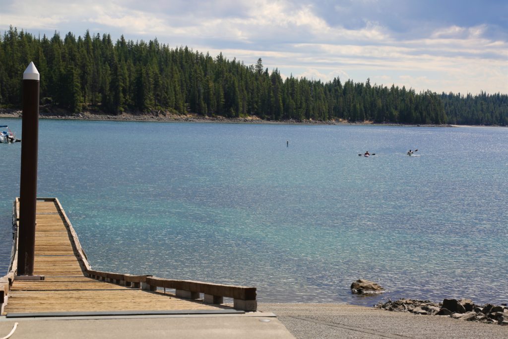
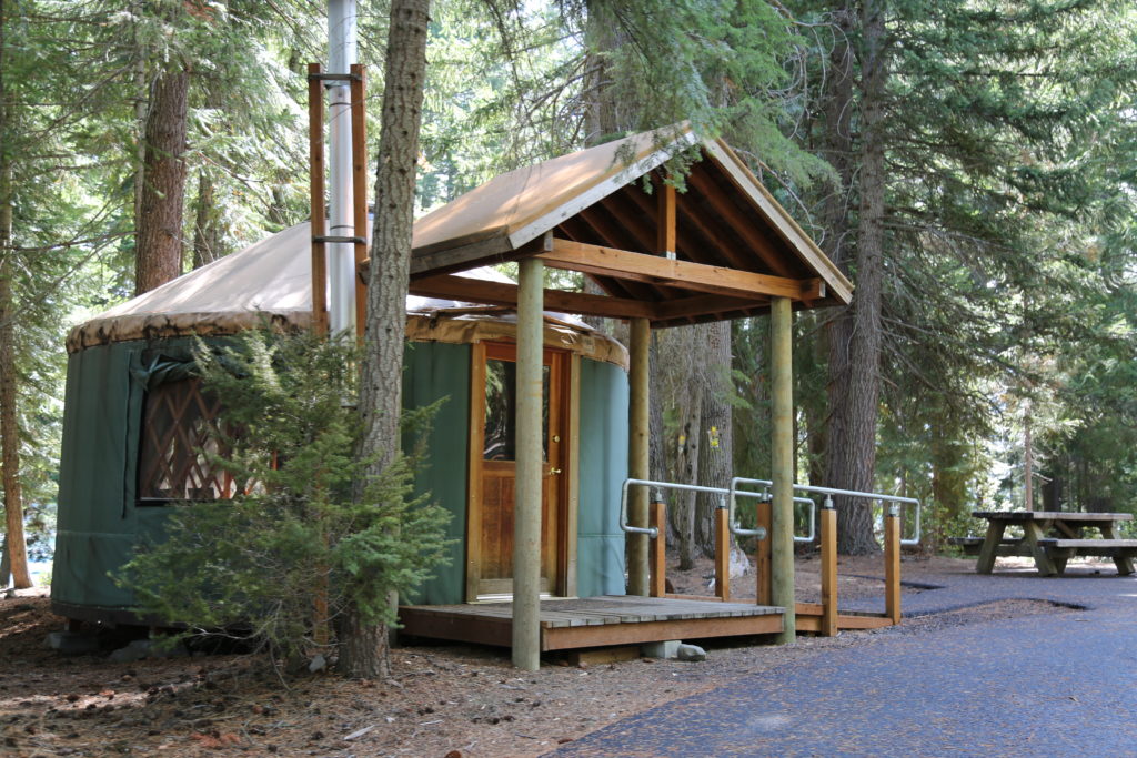
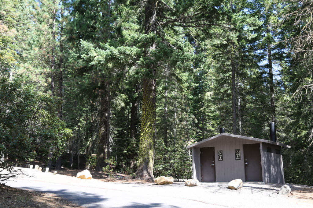
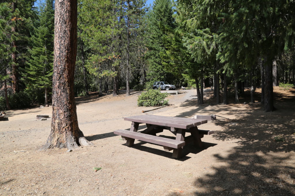
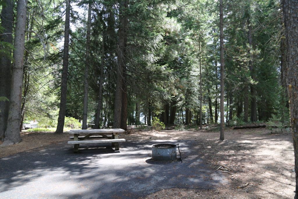
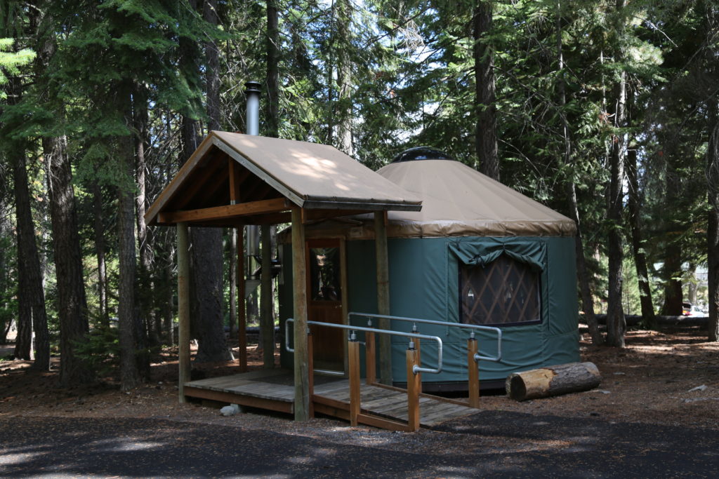
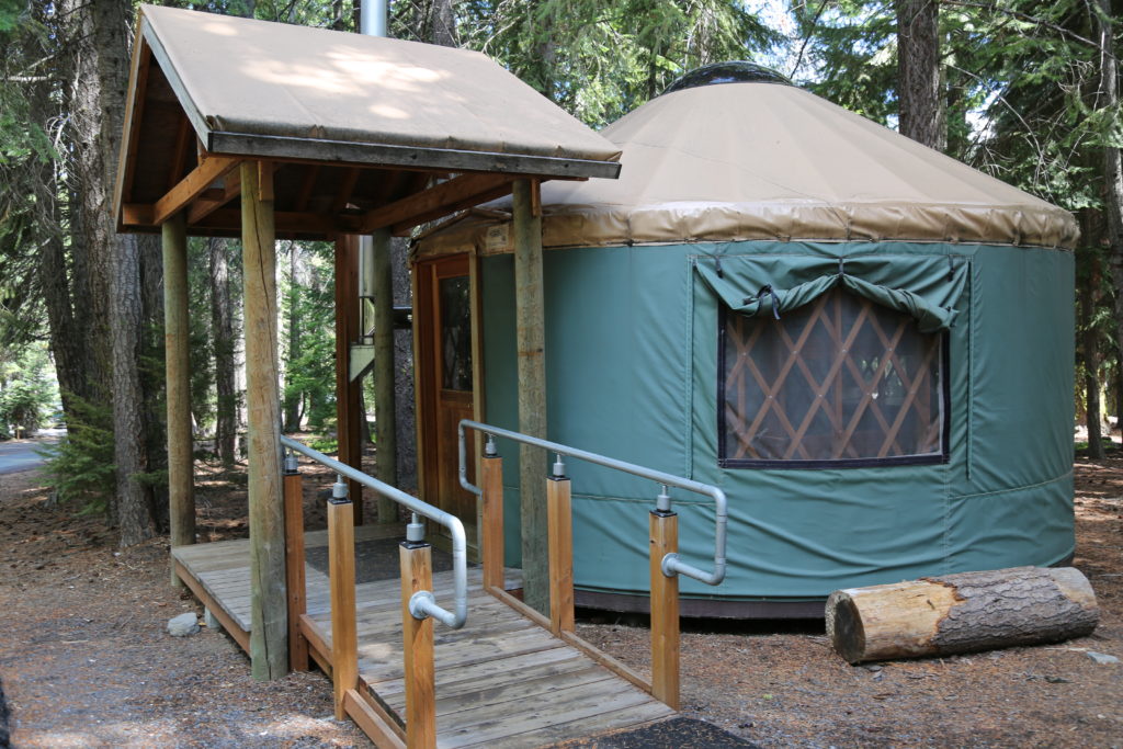
There is a  campground located on a small hill overlooking Crescent Lake. Yurts are available year around and could be used for a small production office (Note: no electricity and only a small fire place). Crescent Lake Resort is just across the dam from the campground and offers a number of services including food, camping, fishing supplies, and boat rentals for shoots.
 
Located of Hwy 58, and Forest Road 60.
 
Area7.105 mi²
Average depth124 ft (38 m)
Max. depth265 ft (81 m)
Shore length112.4 mi (20.0 km)


Continue Reading

Kimberly

Kimberly is located at the intersection of Oregon Route 19 and 402 and the confluence of the John Day and the North Fork John Day rivers. The John Day River Trading Post is located at the intersection.

County permits required for any filming.


Continue Reading

Clarno (John Day National Monument)

Clarno is part of the John Day National Monument system and is located at Oregon route 218 near the John Day river.

The Clarno Unit is located 18 miles west of the town of Fossil, Oregon.

There are trails located ¼ mile west of the picnic area along Highway 218. The Trail of Fossils and the Clarno Arch Trail start at the trailhead. 

There  is a picnic and parking area close to the Palisades rocks, and parking in front of the rocks.  

The nearest town with accommodation and extensive services is approximately an hour away. 

Permits are required by the park ranger from the John Day National Monument and should be applied for a minimum 21 days in advance.

Absolutely no drone use in the Monument.


Continue Reading

Blue Basin (John Day National Monument)

Blue Basin is a stunning formation within the Sheep Rock Unit of the John Day National Monument. Nearest towns are Dayville, and John Day (accommodation and services).

Stunning visuals are available, and large parking area for production vehicles.  You cannot walk on the rock formations as they are delicate, but there are hiking paths around the area that lend themselves specifically to print campaigns.  This is one of the less populated areas of the John Day National Monument, and as such an excellent location for film purposes.

Permits must be obtained 21-30 days in advance from the park ranger. 

ABSOLUTELY NO drone use within the National Monument.


Continue Reading

Burnt Ranch Road (Painted Hills)

Burnt Ranch Road (also known as Bridge Creek Road)  leads from the Ochoco Highway in Mitchell to the Painted Hills Overlook (part of the John Day National Monument/Painted Hills division). The road itself is partial monument land, part BLM, so care must be taken with permit applications.

The road itself is a stunning drive surrounded by geological fossil formations on one side, and grasses and farm land on the other. It also winds alongside Bridge Creek.

BLM permit applications require 60 days advance notice through BLM Prineville.

John Day National Monument should be done at least 30 days in advance.

Nearest accommodation and services are in Mitchell (limited/10-15 minutes away), and wider availability in Prineville (1 hour via Hwy 26).


Continue Reading